Old Stone Fort State Archaeological Park is located along the Duck River, west of the town of Manchester, Tennessee. The Old Stone Fort was built 1,500-2,000 years ago during the Middle Woodland Period. Native Americans used this area for about 500 years, eventually abandoning it. When European settlers arrived, it was unclear of what the land was used and resulted in it being misnamed as a fort. Today the site is believed to be an ancient Native American ritual enclosure.
The Old Stone Fort’s walled area, consisting of stone and earthwork, encompass approximately 50 acres. The walls are on average approximately 4–6 feet high. They originally consisted of an inner and outer layer of crudely stacked rocks and gravel slabs with earthen fill in between. Over the centuries, the earthen fill has mixed into the rock layers, giving the walls their current mound-like appearance.
In 1823 Samuel Murray built a rope factory on the Little Duck River. After the factory burned in 1847, it was followed by W.S. Whitman’s paper mill further downstream in 1852. In 1862, Whitman built a gunpowder factory adjacent to his paper mill to supply the Confederacy during the Civil War which was destroyed by Union troops the following year. In 1879, the Stone Fort Paper Company built a large mill near Big Falls, which supplied paper to newspapers throughout the Southeast until the early 20th century. The remains of the mill’s foundation are located on the bluffs overlooking Big Falls, and can be accessed via the Old Stone Fort Loop Trail.

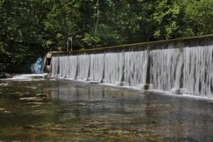
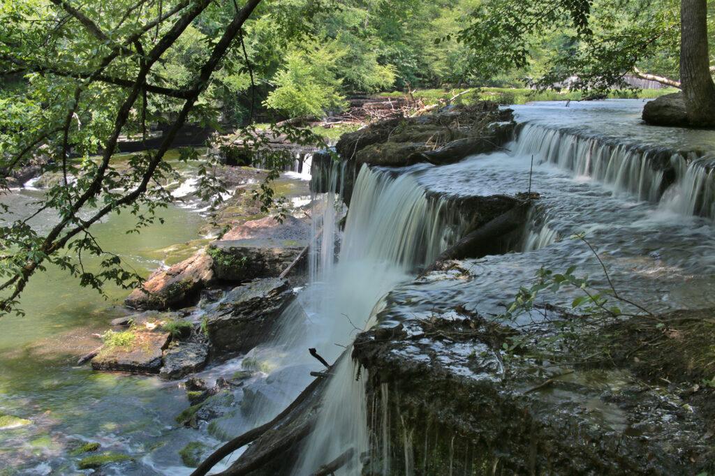
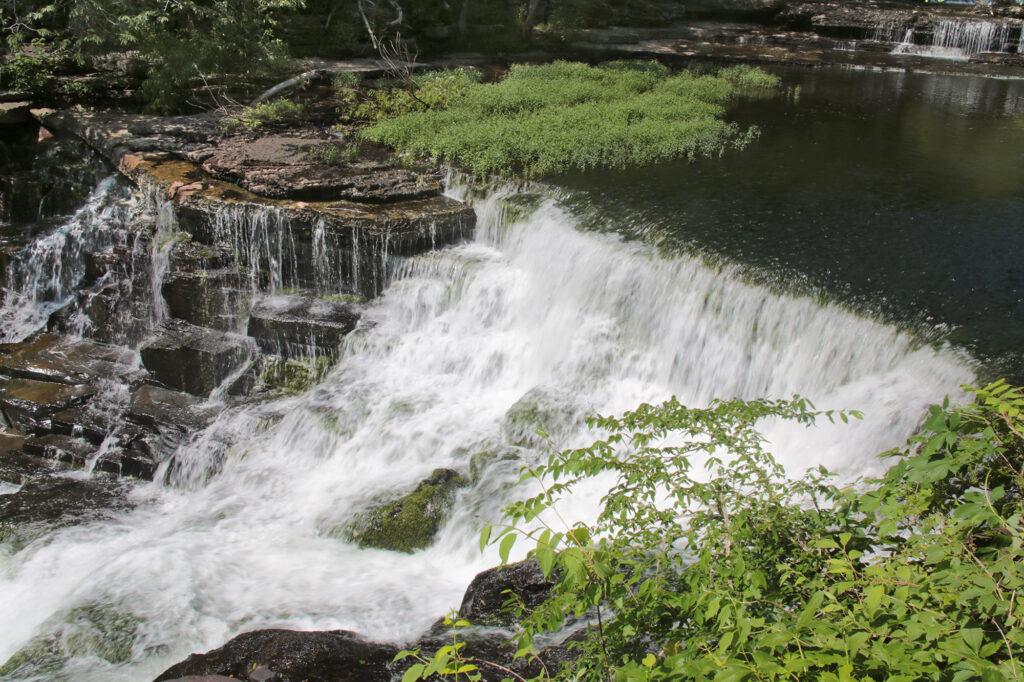
In addition to its interesting history, the Old Stone Fort State Archaeological Park is home to three impressive waterfalls and a dam. From the parking lot, you will start down walkway that goes around the side and behind the Visitor Center to reach the Enclosure Trail (approximately 2.7 miles). If you go to the right when you reach the fork where the trail splits, the trail will lead you along the river. Side trails will lead you to the dam and waterfalls. In a few minutes you will reach Old Stone Fort Dam, built in 1962. The dam is an impressive 190 feet wide. Blue Hole Falls is a short distance after the dam. Continue south on the Enclosure Trail another 100 yards and you will reach the paper mill remains. Soon you will reach Big Falls.


Continuing onward you will reach a sign to the Moat, Backbone, and Forks of the River trails. The trails are color coded and use shapes to indicate which trail you are on. The first part of the trail (marked as “Alternate Trail Access” on the park’s map) goes to the Forks of the River trail, an easy walk down to the confluence of the Duck River and Little Duck River. Continuing along on the Backbone trail, you follow the river upstream along a wide, flat former roadbed. It turns sharply to the left away from the river and ascends a narrow ridge. This turn isn’t very well marked. The trail appears to follow an old stream bed for 100 yards or so before you spot a trail marker and begin a sharp climb.
Once you top the ridge, after about 75 yards of climbing, you’ll reach Backbone Ridge, a narrow ridge between Little Duck River and the bluffs on which the walled enclosure was built. There’s a nice overlook to the left before descending sharply to rejoin the Forks of the River trail. Continue straight to join the Moat Trail, which follows an old dry riverbed that early settlers thought was a moat. Going eastward, the trail climbs and rejoins the Enclosure Trail.

Shortly before you reach the end of the loop, you will reach Step Falls, a series of waterfalls. After viewing Step Falls, you will come to a grassland area before reaching the Visitor Center. Inside the Visitor Center is a small museum with exhibits and artifacts describing the Native Americans from the Middle Woodland Period who lived in the area and developed the site.
Leave a Reply