Looking for easy waterfall hikes in North Carolina? Well, you’ve come to the right place! We’ll be including easy, roadside and wheelchair accessible trails and even break them down into areas to make finding waterfalls in your area a piece of cake.
There are many beautiful waterfalls in North Carolina, but the best areas we’ve found are the Blue Ridge Parkway and surrounding areas, Brevard (also known as the land of waterfalls) and Highland.
This post will focus on the Brevard area. Be sure to check out other easy waterfalls in The Blue Ridge Parkway and Highland/Cashiers in other posts.
Please note: Each waterfall has a link to a separate page detailing directions, trail description and additional information.
Brevard
Brevard is called The Land of Waterfalls – and with good reason. There are 250 waterfalls located in Brevard County.
Brevard is home to Pisgah National Forest, DuPont State Recreational Forest and Gorges State Park. It’s also located just off the Blue Ridge Parkway.
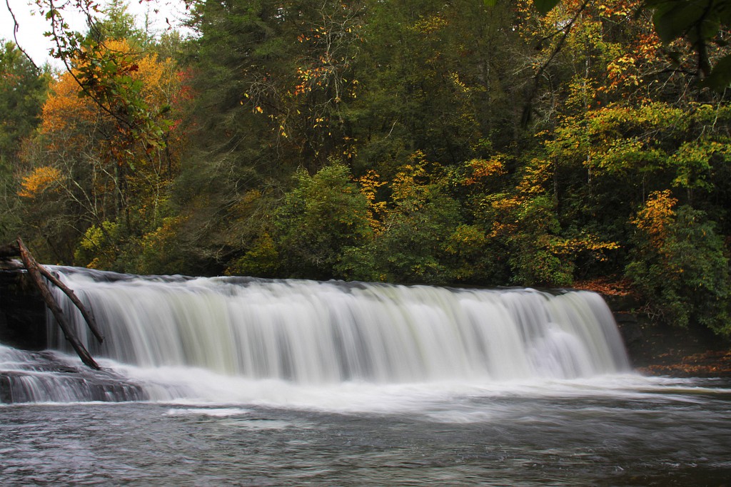
Hooker Falls
Although Hooker Falls is short in height, only 14 feet, yet it is breathtaking to view. Hooker Falls flows on Little River inside Dupont State Forest.
Hooker Falls was named for Edmund Hooker, who operated a mill below the falls in the late 1800s. The waterfall was seen in the movie Last of the Mohicans when the characters go over the falls in canoes.
The trail comes to a upper viewing area at the top of the waterfall in 0.25 miles. Continue on the trail for about a hundred yards and the trail descends and curves to the left bringing you to the base of the falls. You can go up the left side to get a closer look from the side of the waterfall.
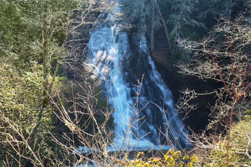
Connestee Falls
Connestee Falls is a 85 foot tiered waterfall. It flows from Batson Creek. Connestee Falls and its twin, Batson Creek Falls are located where Batson Creek and Carson Creek meet, called the Silver Slip and continues down to Carson Creek.
Connestee Falls was supposedly named after an Indian princess named Connestee who lost her life at the waterfall due to her relationship with an Englishman.
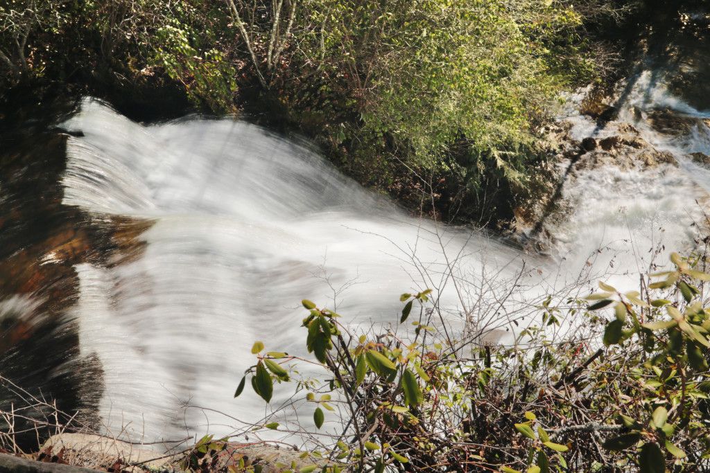
Connestee Falls and Batson Creek Falls can be seen from a wheelchair accessible platform, built in 2011. You follow a short walkway from the rear of the parking lot next to of Top of the Falls Realty to the waterfall. From the platform if you go to the far side, you will see the top of Connestee Falls. Unfortunately this is the only public view available of Connestee Falls and Batson Creek Falls, since the waterfalls are on private property, do not permit visitors to hike down for a closer look.
Batson Creek Falls
Batson Creek Falls is a 20 foot tiered cascade. Batson Creek Falls is the fanned cascade on the opposite side of the ravine from the platform, which is located straight in front of you.
Looking Glass Falls
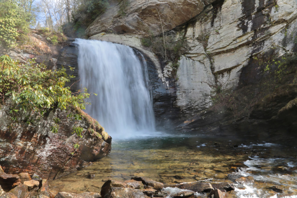
Looking Glass Falls is a popular 60 foot waterfall located in the Pisgah National Forest. It is family friendly and wheelchair accessible. There is a roadside platform overlooking Looking Glass Falls.
The name Looking Glass came from when the water freezes on the sides of the waterfall in the winter and glistens in the sunlight like a looking glass or a mirror.
There is a set of stairs leading to the base of the waterfall for a closer look. You can go down onto the rocks in the stream below the waterfall or even wade in front of it.
Moore Cove Falls
Moore Cove Falls is an easy one to hike and is family friendly. It’s fairly short – only 1.5 miles round trip. However, this is a wet weather waterfall. Even after a good rain this waterfall doesn’t have a lot of water flow. Long periods of dry weather can reduce this waterfall to a trickle, so try to visit after a good rain or during early spring.
The trail is a scenic hike through the forest alongside the creek. There are foot bridges crossing Moore Creek several times and a nice viewing platform to make this trail easily accessible for all ages and levels of hiking experience.
The waterfall is 50 feet high and you can even walk behind it. To walk behind the waterfall, just walk around the deck.
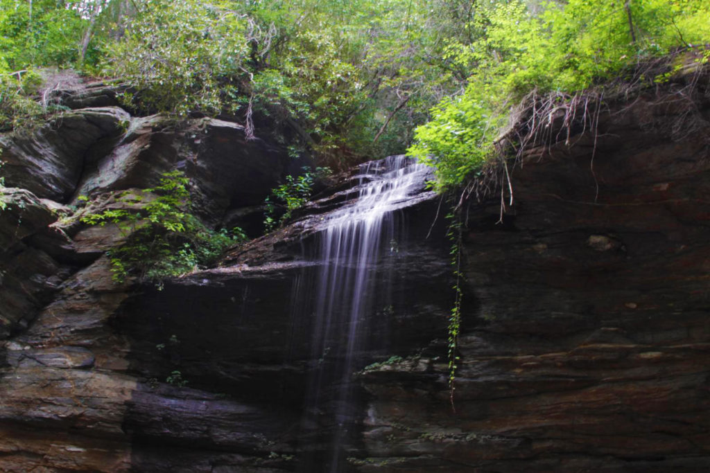
Log Hollow Falls
Log Hollow Falls is a pretty 25-30 foot waterfall located in the Pisgah National Forest. The trail is well defined and follows Forest Service Road 5043 that is closed to vehicles.
You park right in front of the gated road. There are two options available from the parking area – a trail leading up into the woods and the gated FS5042. You’ll want to walk around the gate and follow the service road trail into a large open area.
Less than 0.25 miles from the parking area, you will reach the first bridge. Continue past the first bridge up the walkway for another 5 minutes or so to the next bridge. You’ll see Log Hollow Falls on your right.
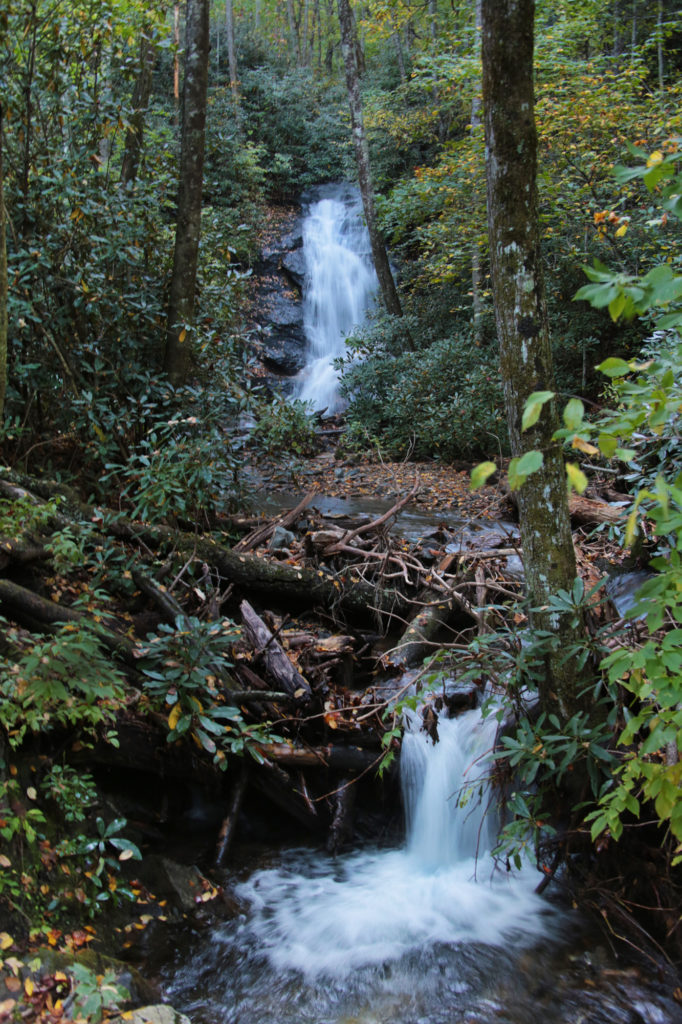
Upper Log Hollow Falls
After you view Log Hollow Falls, continue crossing the bridge and look for the side trail immediately on your right as soon as you cross the bridge. This trail leads to the base of Log Hollow Falls. While standing at the base of Log Hollow Falls, look to your left and you’ll see a trail that runs next to Log Hollow Falls. Continue uphill and a short distance up the trail you will see a side view of Upper Log Hollow Falls.
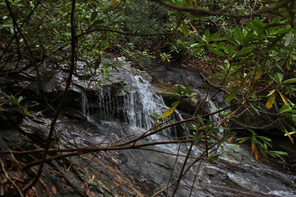
Logging Road Falls
After viewing Upper Log Hollow Falls, return to the main trail and continue uphill on the trail and after another 10 minutes you will reach Logging Road Falls, which is visible from the trail on your right hand side.
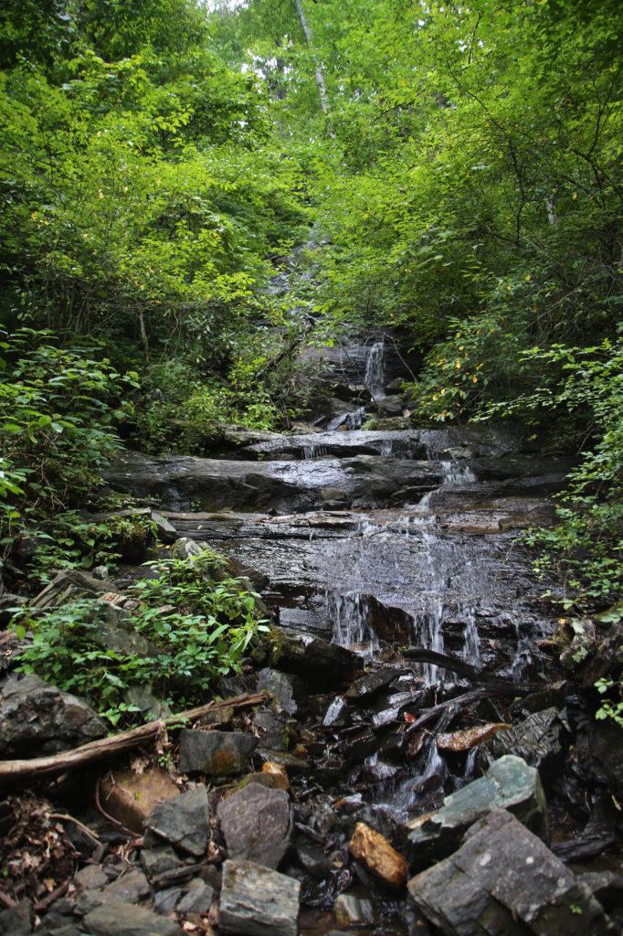
Slick Rock Falls
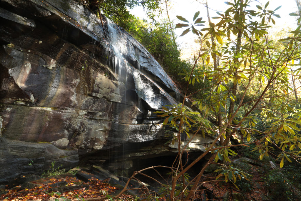
Slick Rock Falls is a wet weather 30 foot waterfall located in Pisgah National Forest.
The hike to Slick Rock Falls is short – only about 100 yards from the parking area. You do need to climb a few stairs to reach the waterfall. Like Moore Cove Falls, you can also walk behind this waterfall. The rocks can be very slick so watch your step when walking close to the waterfall.
Slick Rock Falls is best viewed during Spring or after a good rain. During the dry times of the year, the waterfall dries up to almost a trickle.
Daniel Ridge Falls
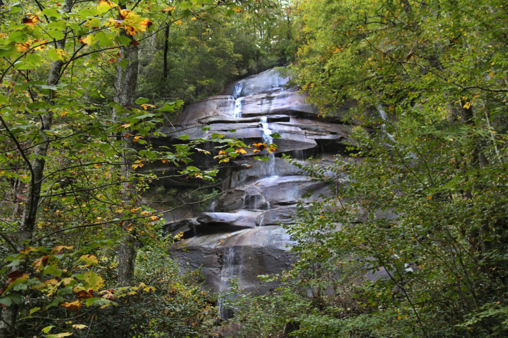
Daniel Ridge Falls (also called Tom’s Spring Falls or Jackson Falls) is a 150 foot waterfall located in the Pisgah National Forest.
Depending on the trail conditions and which way path on the trail you take will determine the difficulty. The Daniel Ridge Loop Trail is a moderate 4 mile hike, however you can reach the waterfall in 1/2 a mile and return the way you came for an easy 1 mile hike if you go to the right when the trail splits.
From the small parking area, walk around the gate and you will see the sign for the Daniel Ridge Loop Trail. The trail is marked with red blazes. After a short distance you will come to an iron bridge crossing the Davidson River. Follow the trail straight ahead.
Not long after crossing the bridge, you will come to a fork in the trail. If you want to go straight to the waterfall, go to the right (you will see a sign that says falls) and you will reach the waterfall in about a half mile. Then you would return the same way you came for a 1 mile round trip.
Stay on the trail and you will come to a front full view of the entire waterfall, viewable from the trail. Just before this there will be a short side trail that will take you to a side view of the top portion of the waterfall.
Leave a Reply