
Glen Falls, located on Lookout Mountain is just a couple miles outside of Chattanooga, TN. While this is a short trail, only half a mile from the parking lot to the falls, it does have elevation changes and can be rugged in a few parts.
A lot of people say this trail is easy, however I would consider it a moderate for a few reasons. The total elevation gain of the Glen Falls trail is 305 feet. It has elevation changes, part of the trail is narrow with rocky steps, a narrow natural tunnel to reach the upper portion and it is steep going down. You cannot view all of Glen Falls from one area. It is in several sections descending down the mountain.
Getting to the Starting Point
Glen Falls is located less than 15 minutes from downtown Chattanooga. Parking can be a challenge for two reasons: there is a limited number of spaces and you can’t see the trail sign from the road so it is really easy to miss and drive right past it. If you are coming from Chattanooga, take TN-58/Ochs Hwy toward Rock City (you’ll see tons of signs taking you to Rock City). After you pass the Lookout Mountain Battlefield sign you’ll find the parking area for Glen Falls at the 3rd pull off on your left. Be careful pulling in and out of the parking area as visibility isn’t great and people drive fast through there.
The Glen Falls Trail
After parking you’ll see the trail and the trail sign. The trail starts out really easy and pretty level. A short while down the trail you’ll come to your first view of Glen Falls through the trees. Then comes the natural staircase that takes you to Glen Falls. Parts of the trail are a little narrow at this point.
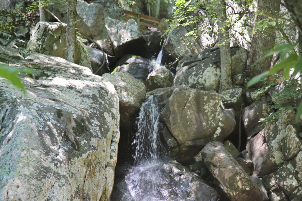
As you reach the top of the stairs you’ll see the lower falls running underneath a wooden bridge. When there has been recent rainfall you’ll find a great swimming hole. Behind the bridge are some really interesting rock formations.
Just past the bridge, the trail gives you the option of continuing straight to another parking spur (where you could park if the roadside parking is full) making a .9 mile total hike. If you want to go to the upper falls (which you do), turn to the right and walk up a set of stone steps and through a narrow natural tunnel.

After passing through the tunnel you’ll see a cascade coming down the side of the mountain parallel to the trail. Here is where misfortune found our family. My husband was unfortunately stung by yellow jackets while photographing the cascade. He is extremely allergic so we turned around and headed back to the car.
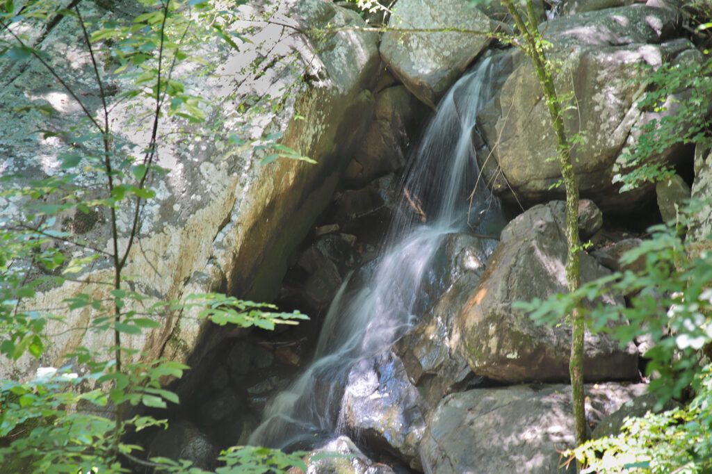
Shortly after where we turned around there are another set of stone steps. If you follow the trail it will lead you to the upper falls and another really great swimming area. When you are done hiking the trail return the way you came to the parking lot.
Glen Falls is a wet weather waterfall and is best after a good rain. There are no restroom facilities.
Nearby attractions include: Rock City (located 4 minutes away and home of the Lover’s Leap waterfall), Ruby Falls (about 10 minutes away), and the Incline Railway (4 minutes away in the opposite direction of Rock City).
Leave a Reply