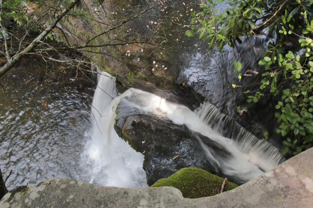
Savage Falls is located in Savage Gulf East inside South Cumberland State Park. This waterfall looks best after a good rain or during the spring. I would rate the trail an easy to moderate depending on age and hiking abilities.
The trail begins at the ranger station. Following the abandoned railway route of the “Dinky Line”, the trail heads north into the woods. Crossing a suspension bridge over Boyd Branch, the trail continues for a mile through the forest to the loop junction where the actual loop begins. Keep following the signs pointing toward Savage Falls.
Continue on the South Rim Trail until you reach another junction with a sign. There is a side trail that will lead you to the Savage Falls Overlook. We continued going straight and reached the top of Savage Falls.
It was getting ready to rain so we returned to the ranger station the way we came. The trail included three flat wooden bridges and two suspension bridges for crossings.
This is a popular trail and gets busy, however there is tons of parking available. There are picnic tables located in front of the ranger station in the parking area. Restrooms are available at the ranger station. They are open even when the station is closed. The trail closes at sunset.
While in the area, I would recommend Greeter Falls, Lower Greeter Falls and Broadtree Falls. All three are located on the same trail. These are some of my favorites in the Savage Gulf area and I preferred them to Savage Falls.

Leave a Reply