Some of these waterfalls are older favorites of ours that we’ve visited several times, while others are new favorites. Each of these waterfalls is amazing.
My five-year-old was able to do three of the five in one day. I’m pretty sure he would have been able to do the other two if we had been able to visit them that day. Graveyard Fields had no parking available and the trail for Upper Dill was wet and slippery that day.
I hope you all enjoy these falls as much as we do!
Soco Falls
Soco Falls is a 120 foot, double waterfall located between Maggie Valley and Cherokee, not far from the Blue Ridge Parkway. You can view Soco Falls from several different locations. The first is the observation deck, which is less than five minutes from the parking area.
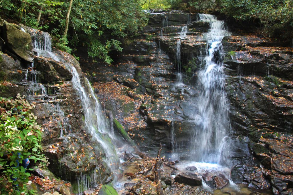
When the trail splits, go to the right to view Soco Falls from the observation deck. For a closer view, continue down a steep, downhill trail from the deck to the base of the waterfalls using a system of ropes to take you to the base of Soco Falls and return to your car afterward. I have short legs and had to rely heavily on the ropes both climbing down and back up. I would rate this section of the trail as moderate in good weather conditions.
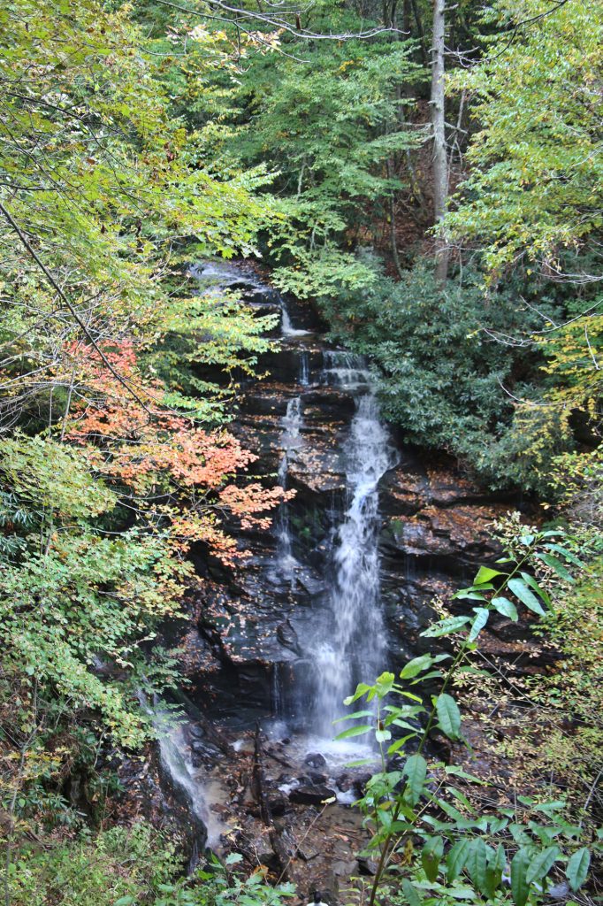
Dill Falls and Upper Dill Falls
Dill Falls is a beautiful 50-foot waterfall located on Tanasee Creek in Nanthala National Forest in Jackson County. It’s not the easiest to drive as you go on a one-way slightly winding unpaved road. There are pull offs so cars can pass every so often.
Despite the road conditions, it is totally worth the trek, as you access two waterfalls from the same parking area and it’s only 0.5 miles round trip to each one. Plus they’re not very well known, so there’s a good chance you’ll have these two beauties all to yourself.
There are two trails off to the right hand side of the parking area. Take the downhill trail to go to Dill Falls. The trail to Dill Falls is well defined and fairly easy to navigate.
After you have viewed Dill Falls, return to the parking area and you can take the uphill trail to visit Upper Dill Falls. The trail is short, but steep. Go up the steep incline and once the trail levels off, you should hear the waterfall. Look around and you should see a small trail heading down. This trail will take you the rest of the way to Upper Dill Falls. The trail down to the waterfall is very steep, so be careful!
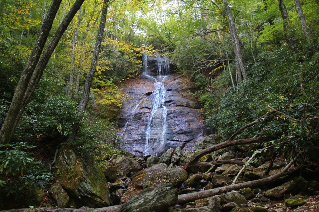
Graveyard Fields
Graveyard Fields is located on the Blue Ridge Parkway at milepost 418.8. This overlook features two impressive waterfalls. The Graveyard Fields Loop is 3.2 miles. This moderate trail has a elevation gain of 450 ft. Lower/Second Falls is 55 feet high and Upper Falls is about 40 feet high.
After you cross the bridge on the trail, when it splits go right onto a side trail to see Lower/Second Falls. The trail takes you to another bridge and then you will come to another intersection. Once again go right onto a new section of the trail. Go down to the base of the falls on steep wooden steps. At the bottom is a viewing platform.
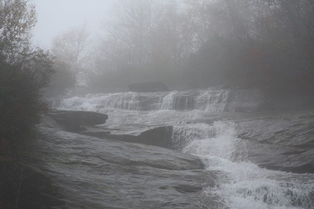
To continue to Upper Falls continue straight ahead. The next waterfall is a little over a mile after the first waterfall. Most of this section is fairly level. However, the last section is a bit steep. The trail splits just before Upper Falls, so keep right to reach the main waterfall. On the return from Upper Falls turn right after about 0.75 miles to cross the river on a newer-looking wooden bridge. Continue on this trail to the exit at the upper end of the parking area.
Skinny Dip Falls
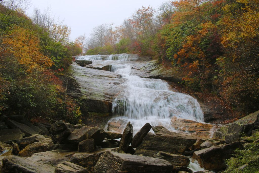
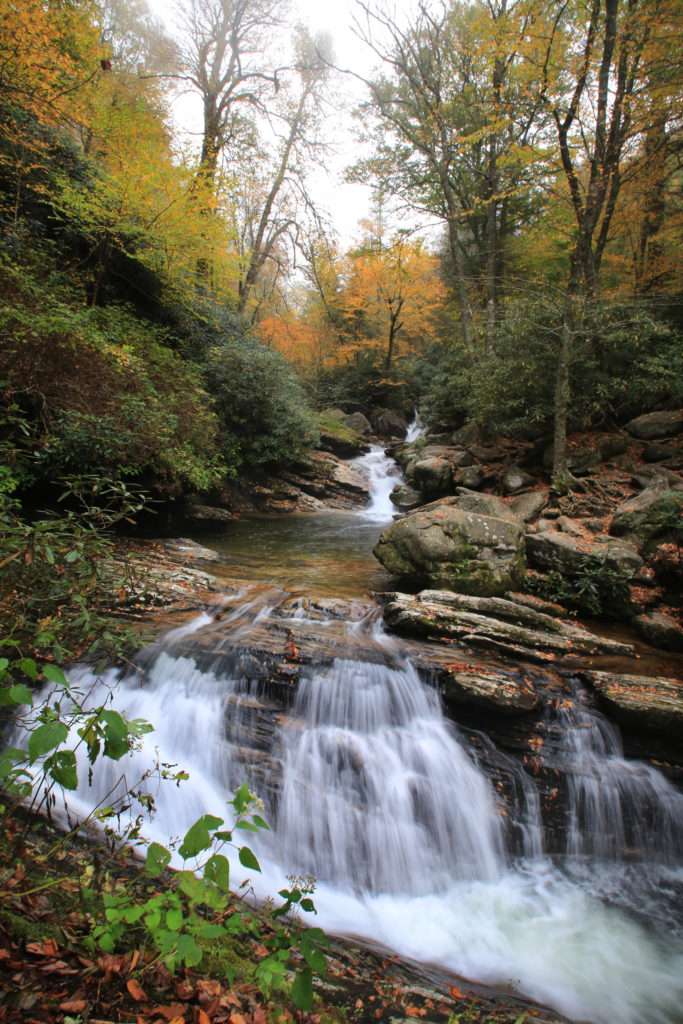
Continue on from Graveyard Fields to Skinny Dip Falls, located just under two miles up the road on the Blue Ridge Parkway. Skinny Dip Falls is comprised of three series of small waterfalls and is about 30 feet high with a small swimming hole (5-6 feet with its deepest part at the base). Skinny Dip Falls is unique in that it has a V-shaped waterfall that continues down to another waterfall and then fans out into three more waterfalls. The scenic trail is 0.8 miles and has an elevation gain of 210 feet.
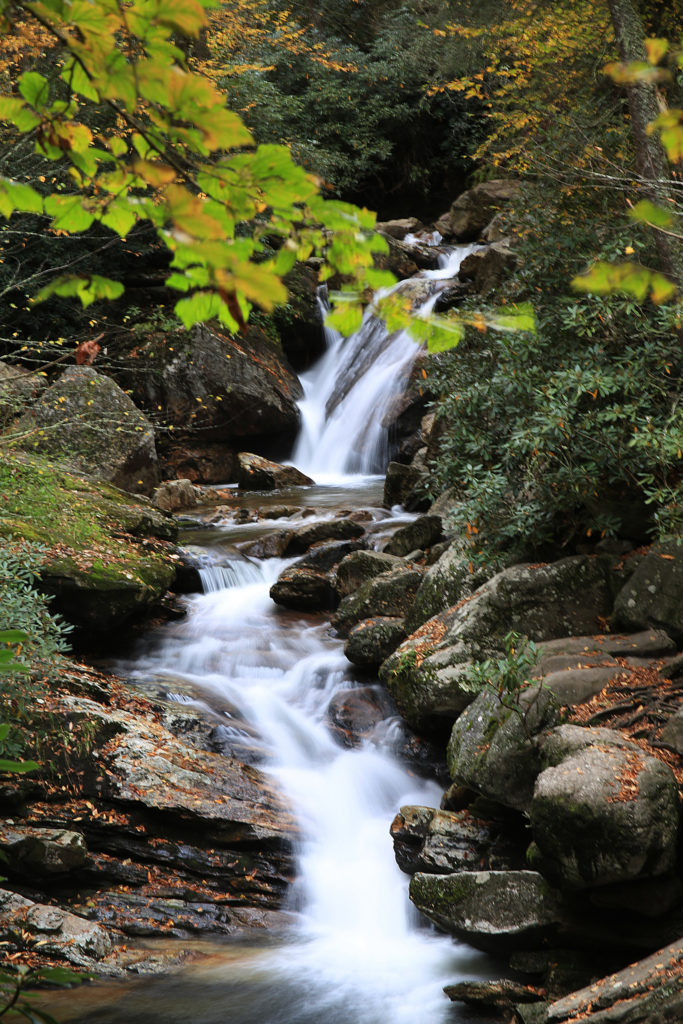
To access Skinny Dip Falls, park at the Looking Glass Rock overlook at milepost 417 on the Blue Ridge Parkway and walk across the parkway to the white blazed Mountains to Sea Trail. The trail is easy to moderate, and is only an 0.8 mile hike. I would only consider the trail moderate in that part of the terrain is rocky and there are many steps.
At the beginning of the trail you’ll come to a tree that vaguely resembles the head of a deer. The path goes slightly uphill and shortly afterward you’ll come to a short set of wooden steps. At the top, go left. The trail will become rocky at this point, but it is still easy to hike. The trail ends at a second set of stairs that lead down to the base of the waterfall. The creek then turns to the right and you cross on a bridge in front of the waterfall.
We hope you enjoy this day trip as much as we do. Keep checking our website for updates of new waterfalls and single/multi day trips.
Leave a Reply