This day trip comprises of several waterfalls on the North Carolina section of the Blue Ridge Parkway, as well as a few near the parkway. This may be a two day trip if you are traveling during peak seasons, where the trails and the parkway itself may be busier.
Upper Creek Falls
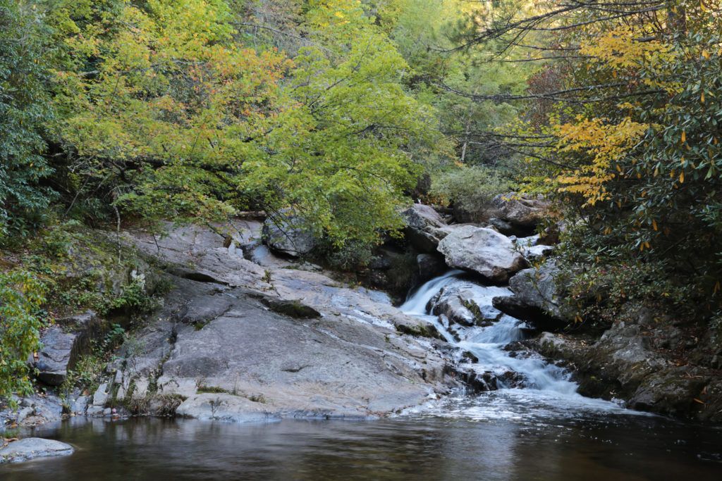
Before entering the Blue Ridge Parkway, visit Upper Creek Falls, a pretty waterfall located in the Pisgah National Forest. This trail is a moderate to hard and may not be the best for little ones.
The trail starts just behind and to the left of the park sign with information about the waterfall and trail. There are roots protruding into the path and several creek crossings that will take you to Creek Falls. There is an Upper, Middle and Lower Creek Falls. Our family visited after a lot of rain and we didn’t venture past Upper Creek Falls, but the directions are included for Middle and Lower as well in the link above.
Dugger’s Creek Falls
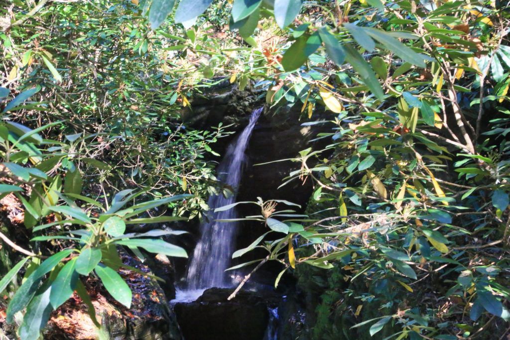
Dugger’s Creek Falls is a small waterfall located on the Blue Ridge Parkway at the Linville Falls parking area at milepost 316.4. By itself this waterfall is not worth the effort of hiking to, however if you have time and are already there to see Linville Falls it is worth a small side trip. The trail is in a wooded area, so it is cool and comfortable to hike on a summer’s day.
The Duggers Creek Trail takes you to a bridge that crosses over Dugger’s Creek, giving you a straight on view of Duggers Creek Falls. It is best viewed after a good rain or during spring, early in the morning before the sun gets too bright or on a cloudy day to get good photos.
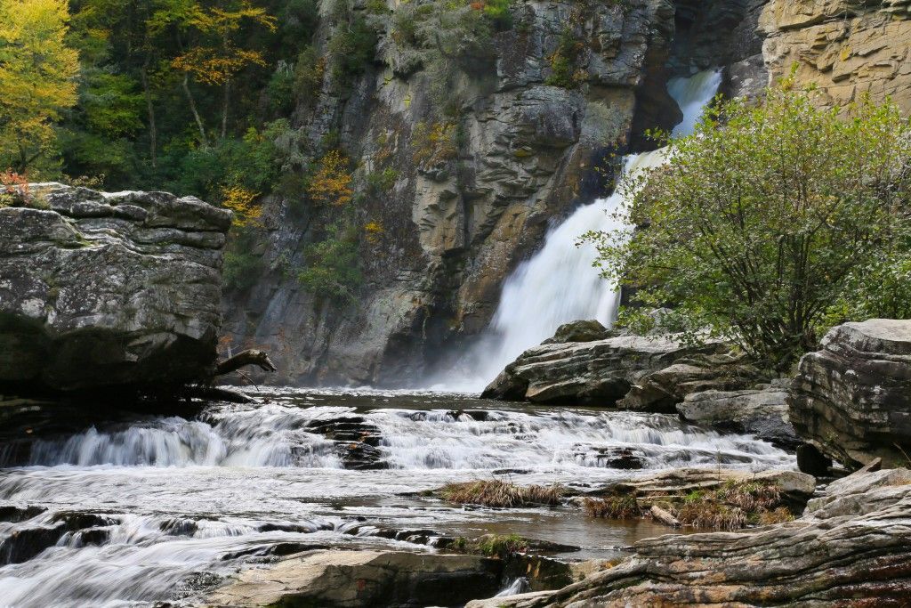
Linville Falls
Linville Falls is located on the Blue Ridge Parkway at mile post 316.4. The total height of the falls is 150 feet with four drops. Linville Falls starts with a twin set of upper falls, moving into a small gorge, and ending in a high-volume, 45-foot drop.
There are four overlooks that you can hike to different views of Linville Falls. All views are different and are extremely beautiful.
The 0.5-mile Upper Falls trail leads to the top of Linville Falls, where you can see the two small upper falls. This is an easy, wide trail, which is family friendly.
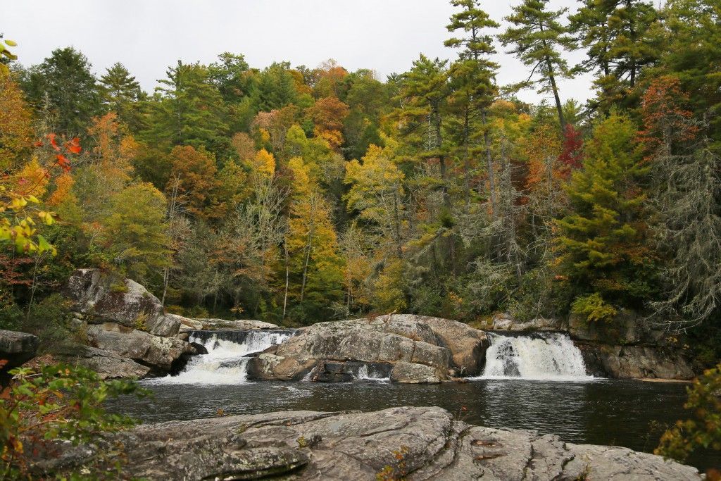
Erwin’s View Trail (1.6 mile round trip) goes to two overlooks, Erwin’s View, which is a 0.8 mile hike, and Chimney View, which is a 0.7 miles hike. These two are a little steeper than the Upper Falls trail, and are considered to be a moderate trail.
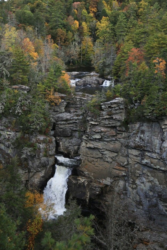
The 0.5-mile Plunge Basin Trail leads to Plunge Basin Overlook, gives you a view of Linville Falls from the other side of the river. The Gorge Trail, which is a 0.7 mile hike, branches off from the Plunge Basin trail, taking you to an area near the base of the falls. These are moderate and hard trails respectively, although we were able to take our son on both when he was 9 years old without issue.
Tom’s Creek Falls
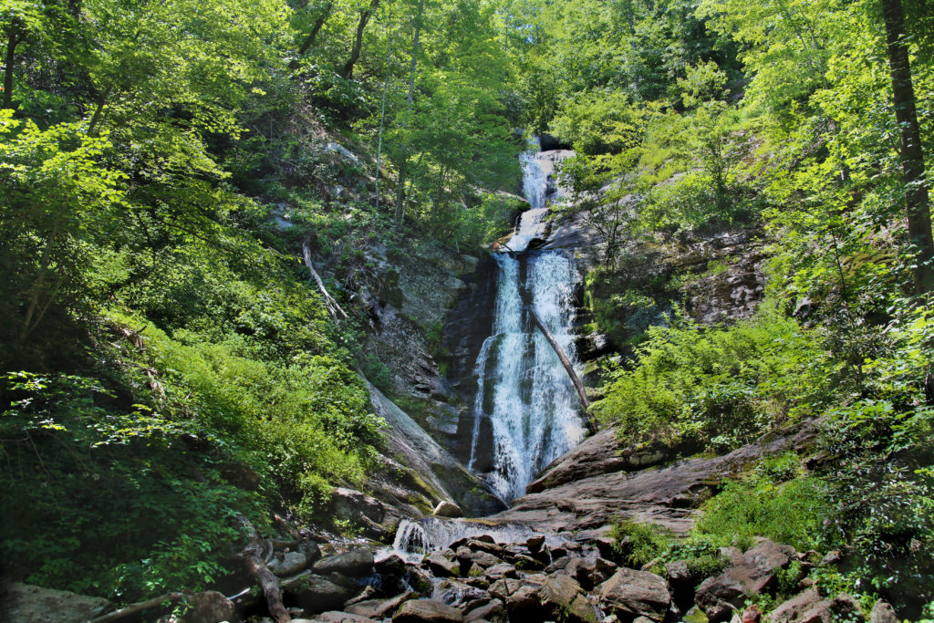
Tom’s Creek Falls is a family friendly 60 foot waterfall located in the Pisgah National Forest, with several smaller cascades running in front of it. It is an easy trail that leads to an observation deck with a great view.
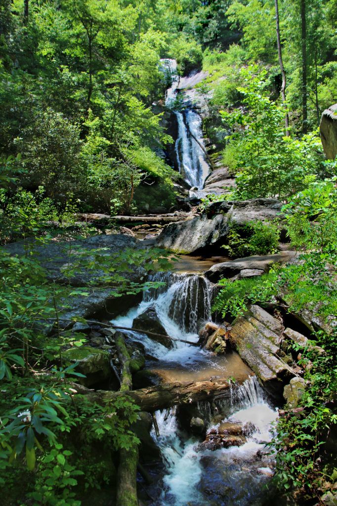
At the entrance to the trail there is a sign for the waterfall. The trail runs alongside the creek and is very scenic. The gravel trail follows an old road bed most of the way. All creek crossings are crossed by bridges/steps. With the exception of a short hill at the very end, it is almost completely level.
You can take a trail to the base of the waterfall if you take the wooden steps to your right just before you get to the observation deck. This is also an easy hike. Many people like to play in the water at the base of the waterfall on hot days so it is a little crowded during the summer.
Crabtree Falls
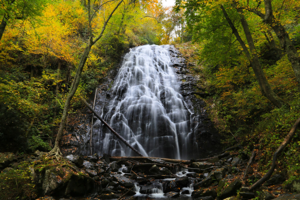
Crabtree Falls is located at milepost 339.5 on the Blue Ridge Parkway. The Crabtree Falls Loop Trail is 2.5 mile strenuous loop. This 70 foot waterfall never fails to impress.
The trail has many switchbacks with several rocky sections, tree roots, wet areas, and sets of rock steps. At the base of the waterfall, the trail crosses a wooden bridge with a bench. The boulders and rocks around the base and sides of the waterfall are very slippery so if you leave the bridge and trail area, please use caution. At this point you can either turn around and go back the way you came or continue on the loop. If you have little kids you might want to return the way you came when you get to the waterfall as the trail gets a lot harder from this point.
The loop continues just past the waterfall. This brings you to the hardest part of the hike. The trail becomes very steep and climbs about 200 feet within the next 0.25 miles. There are many switchbacks and stairs as it ascends the ridge.
Crabtree Falls is one of my all time favorite waterfalls and is the perfect one to end the day with. We hope you enjoy this waterfall trip. Keep checking back on our site as we will continue to add more waterfall trips for your enjoyment.
Leave a Reply