There are so many waterfalls in the south central part of Tennessee that it is hard to decide which ones to visit first. This 3-5 day trip allows you to see some of the largest and most popular ones in the area, as well as some smaller lesser known ones to give you some quiet time in nature.
Many of these locations have multiple waterfalls that you can see in the same park, including Rock Island, Burgess, Fall Creek Falls and Old Stone Fort. This gives you lots of waterfalls without as much travel time. This is an ambitious 3-5 day trip, so if you like to spend lots of time exploring the falls or if you have little ones with you, you may want to allot a few extra days.
Click on “More options” inside the map to get a full list of directions and stops along this trip.
Click on link in each section below to view more information about each waterfall including trail details and directions to the waterfall.
Ozone Falls
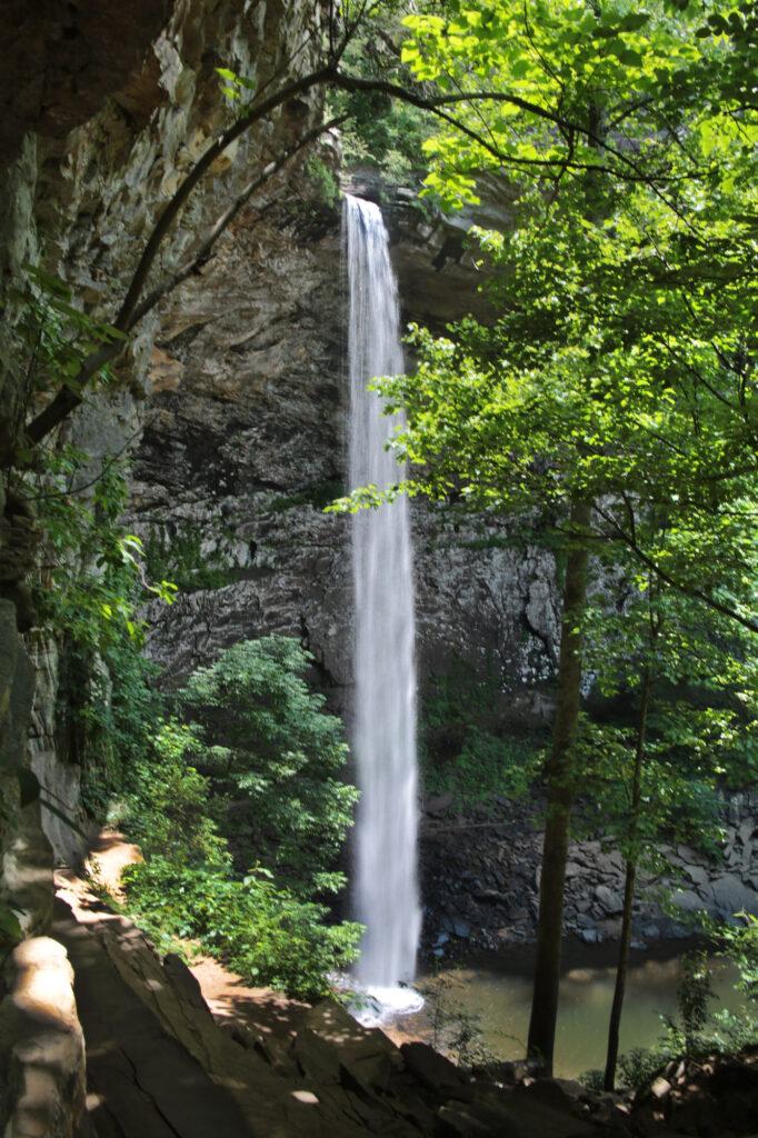
Ozone Falls is located in Cumberland County, Tennessee inside the Ozone Falls State Natural Area and Cumberland Trail State Park. Ozone Falls is a pretty 110 foot waterfall that was one of the locations used for the 2016 live action movie “The Jungle Book.” The hike to the base is around 0.25 miles one way. There is another view of the waterfall just before the trail turns to head to the base if you would like to shorten your hike. The photo below shows this view.
Fall Creek Falls State Park
Fall Creek Falls
Fall Creek Falls can be either one of the prettiest waterfalls you’ll ever see or it can be a trickle. Fall Creek Falls is dam controlled, so the water flow will vary depending upon the dam. Most of the time it is the former, so you’ll be greeted with the sight below.
There is an overlook that you can view Fall Creek Falls that is right off of the parking area, which gives you an excellent view of the waterfall. If you want to go to the base of the falls, follow the orange blazes of the Base of Fall Creek Falls Trail. Please note that the sign at the beginning of the trail lists it as very strenuous. This trail is heads off from the overlook and continues for 0.4 miles downhill that will take you to the base of the falls, which means you have to return the same 0.4 miles uphill.
Rockhouse Falls/Cane Creek Falls
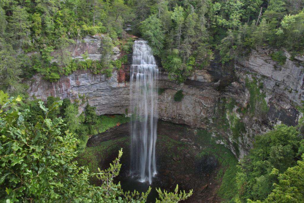
Rockhouse Falls, located inside Fall Creek Falls State Park, is an impressive 125 feet waterfall. It is right next to Cane Creek Falls, which gives you two waterfalls at the same location. This is always a win in my books!
There are three different ways you can use to view this waterfall. The first is a roadside overlook, which doesn’t give the greatest view, but everyone can see it this way. Rockhouse Falls is the smaller (width-wise) waterfall on your right. The second is from the Cable Trail, which will take you to the base. The round trip for this strenuous trail is 0.3 miles. The third is the Gorge Trail, which you can access from the Woodland Trail after crossing a swinging bridge. All three trails have views of Rockhouse Falls and Cane Creek Falls.
Cane Creek Cascades
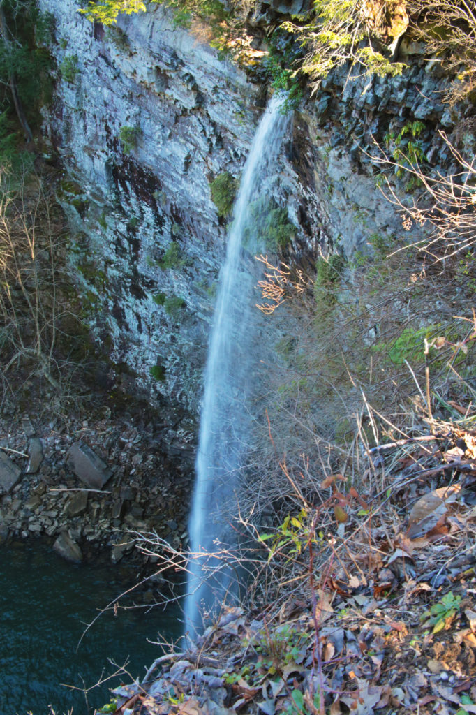
Cane Creek Cascades is my favorite waterfall at Fall Creek Falls State Park. It is easy to get to and you can view the cascade from many different angles including the top and the base.
To view this waterfall, park at the Betty Dunn Nature Center and look for the wooden steps behind the building. Take the steps all the way to the bottom and you’ll be at an overlook for Cane Creek Cascades. The stairway is open at the side so you can climb out and venture closer to the waterfall and even climb down to the base.
Piney Creek Falls
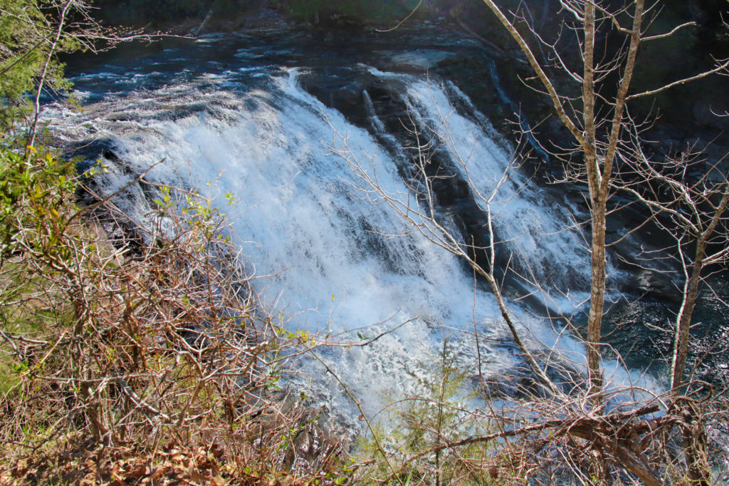
Piney Creek Falls, also located in Fall Creek Falls State Park, is a pretty waterfall that is easily viewable from a 0.2 mile trail that takes you to an overlook located just a few minutes away from the parking area. Piney Creek Falls is an unusually shaped waterfall that is quite interesting. There is some obstruction of the waterfall from trees surrounding it, but it is still very scenic and peaceful.
Savage Falls
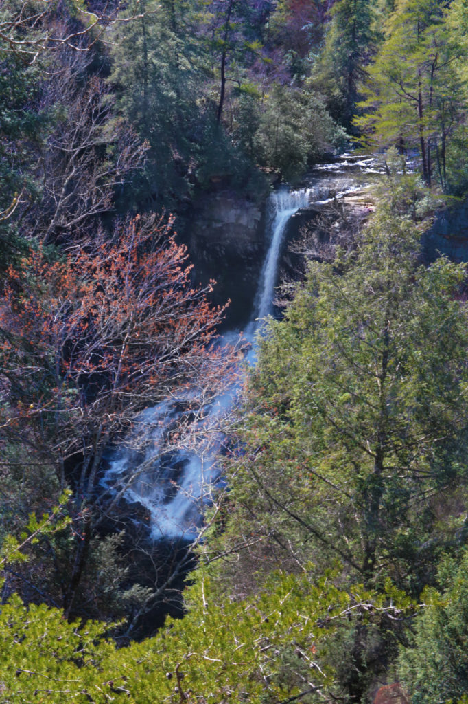
Savage Falls is located in Savage Gulf East inside South Cumberland State Park. This waterfall looks best after a good rain or during the spring. I would rate the trail an easy to moderate depending on age and hiking abilities. The trail begins at the ranger station. Following the abandoned railway route of the “Dinky Line”, the trail heads north into the woods. You’ll cross several small wooden bridges and suspension bridges on the South Rim Trail until you reach a junction with a sign. The trail splits into two directions: one is a side trail that will lead you to the Savage Falls Overlook and the other will take you to the top of Savage Falls.
Lower Greeter Falls
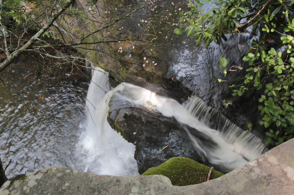
The Greeter Falls Trail will actually take you to several waterfalls if you include its spur trails – Blue Hole Falls, Boardtree Falls, Upper Greeter Falls and Lower Greeter Falls. Most of the Greeter Falls Trail is easy, but there are parts that are a little more difficult, giving it a moderate rating. Each waterfall uses a one-way spur trail to reach the waterfall, you go down each one to the waterfall and then return to the main trail to continue on.
At 0.3 miles, Greeter Falls Loop begins. Go right toward the sign leading to Greeter Falls. Shortly you will reach a junction with the spur trails to Upper and Lower Greeter Falls at 0.4 miles. Immediately, as you turn right onto the spur trail, it forks again.
If you take the spur trail to the left you will reach Lower Greeter Falls. This trail uses a tight metal spiral staircase with narrow stairs followed by wooden steps that descend to reach the waterfall at 0.5 miles.
Upper Greeter Falls
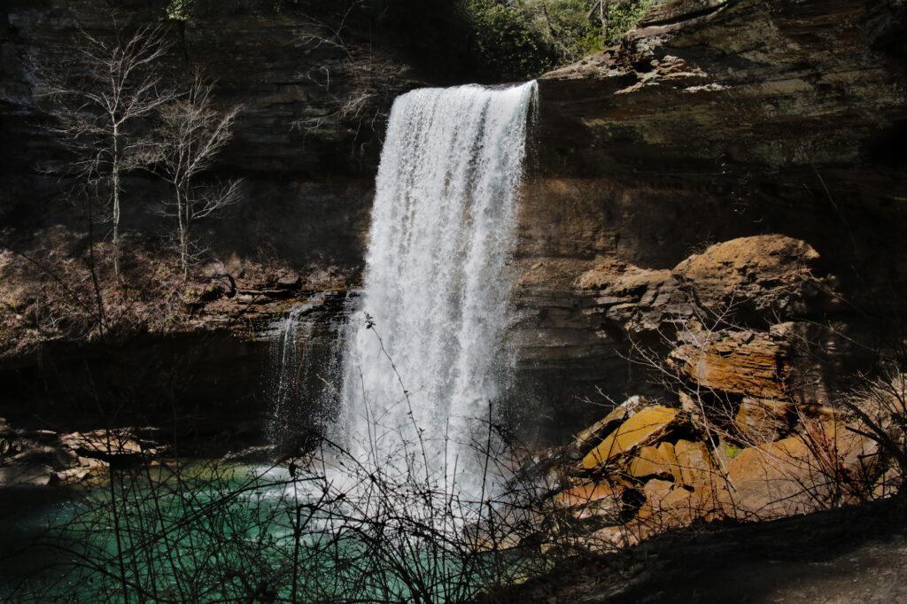
Once you have seen Lower Greeter Falls return to the Greeter Falls spur and go to the right to see Upper Greeter Falls after a short walk.
Boardtree Falls
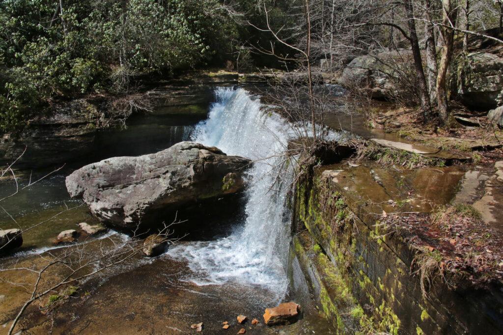
After viewing Upper Greeter Falls, return to Greeter Falls Loop at 0.7 miles. Continue to the right for another 0.3 miles and you will pass Boardtree Falls in a ravine on your right. Just past Boardtree Falls, keep following the Greeter Trail to the right and cross over a suspension bridge. The trail climbs steps to the right and soon rejoins the trail you started on, with just 0.3 miles to go to reach the parking lot.
Old Stone Fort State Archeological Park
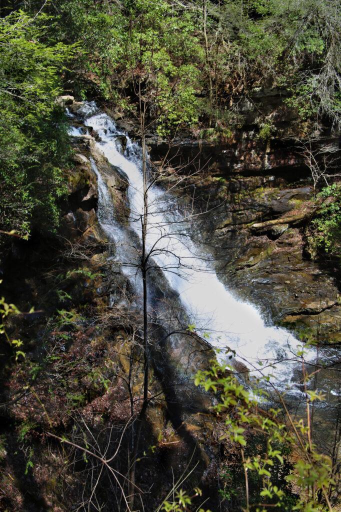
Old Stone Fort State Archaeological Park contains three impressive waterfalls and a dam, which is great if you are like us and love finding areas where you can view many waterfalls in one location.
Blue Hole Falls
Blue Hole Falls, with a 60 foot width, is the widest waterfall in Old Stone State Park. Located downstream from the dam, the right side of Blue Hole Falls has a nice flow year round.
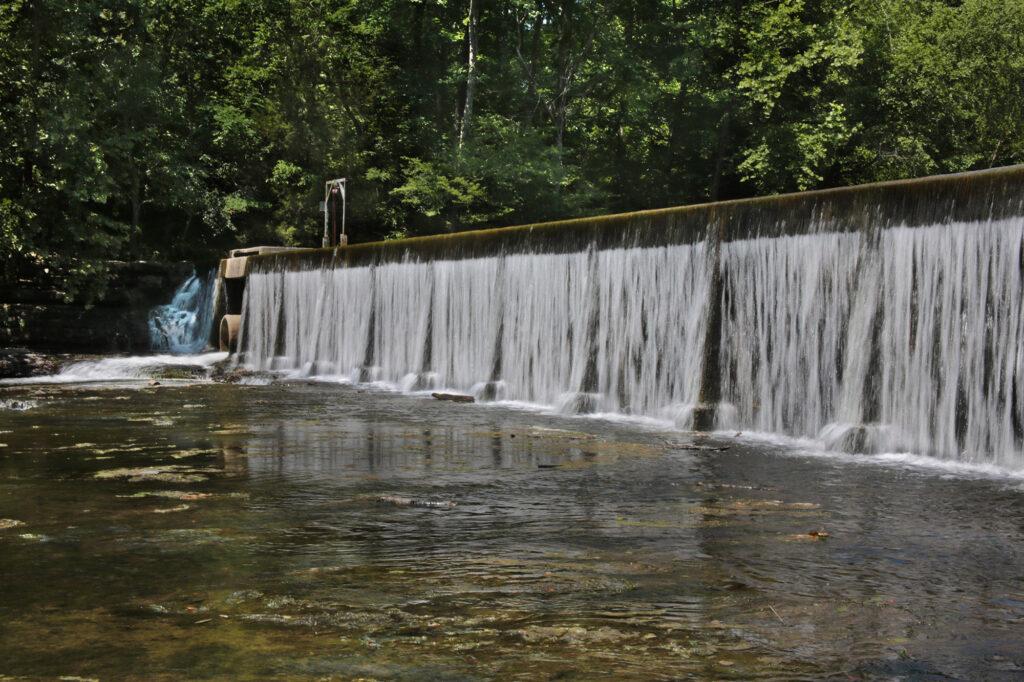
To reach Blue Hole Falls, start at the pathway by the visitor center that goes around the side and behind the center. When the trail splits, you will want to take the right fork. This trail will lead you along the river.
Almost immediately you will reach the dam. After viewing the dam, continue on the main trail down the river. A short distance away you will reach Blue Hole Falls.
Big Falls
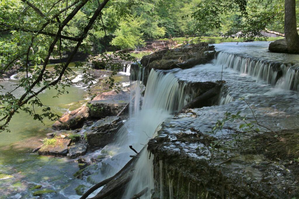
After viewing Blue Hole Falls, continue south on the Enclosure Trail another 100 yards you will reach the remains of a paper mill, one of three that were built in this general area. Built in 1879, this mill supplied newsprint to newspapers throughout the Southeast. Keep moving past the ruins and you’ll soon reach Big Falls.
Step Falls
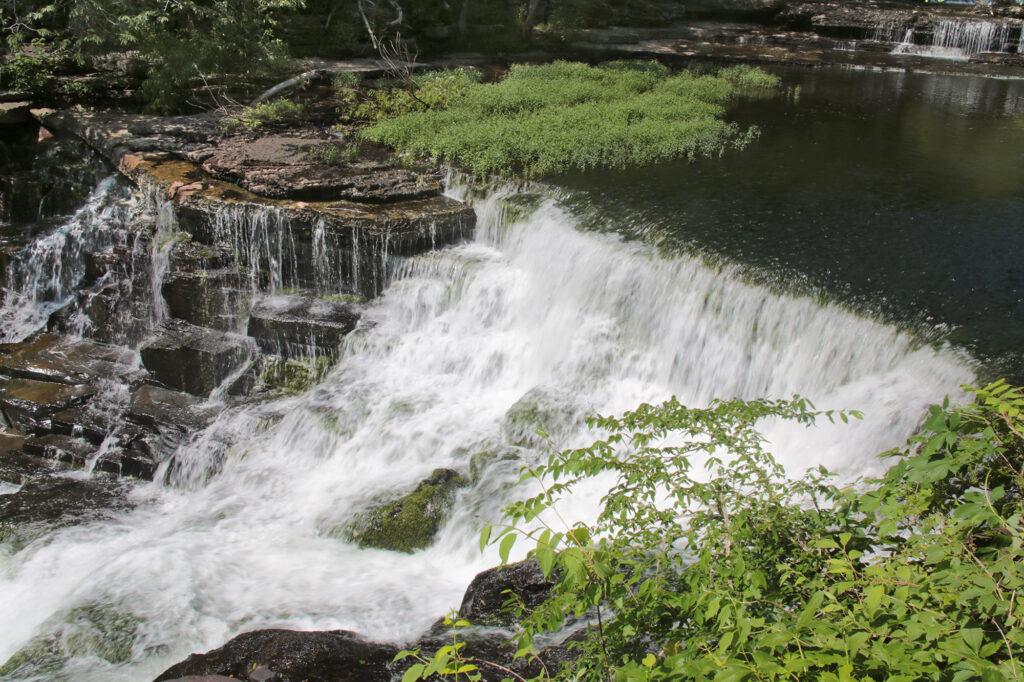
After you view Big Falls, return to the Enclosure Trail. While the Enclosure Trail is technically a loop (approximately 2.7 miles), if all you want to do is see waterfalls, it is faster to return to the visitor center where the trail forks and go to the other side to view Step Falls, which also located inside the park. This is what we did on our trip and it was much shorter in time and distance.
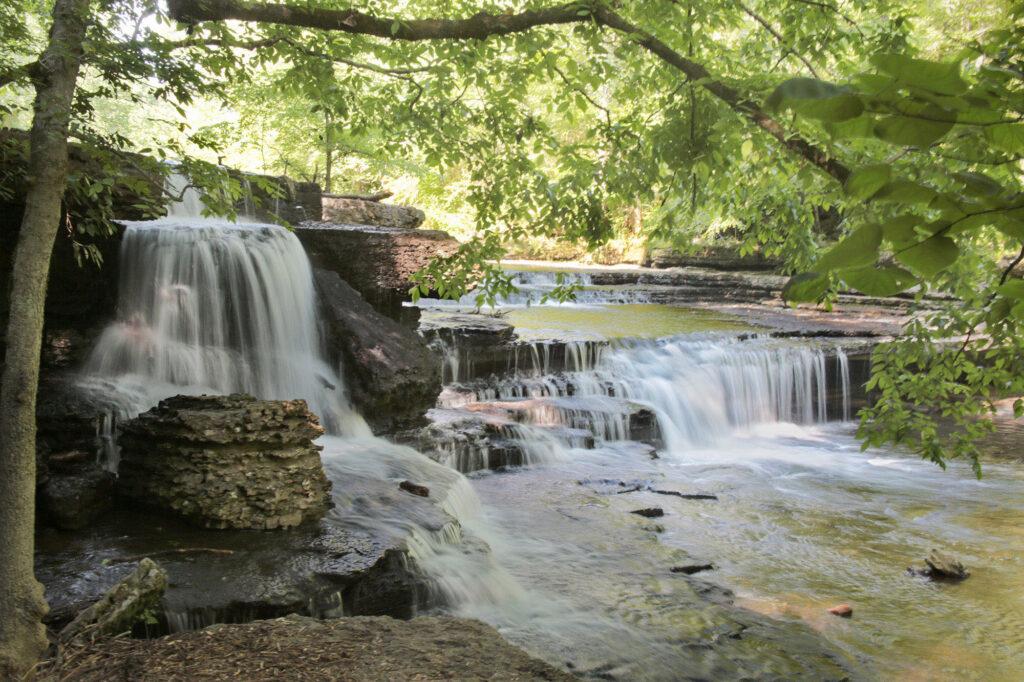
Rock Island State Park
Rock Island State Park has many features that make it a great family destination. It has several waterfalls and a beach area. There are also many picnic areas and restrooms, making it perfect for a day of exploring. Please note that the TVA (Tennessee Valley Authority) controls the dam that feeds water into Great Falls and the gorge, so you’ll want to check the schedule to see if it is safe to go into the gorge or to take the trails to Twin Falls. Before visiting, be sure to check out TVA’s generation schedule and more information on the Great Falls Dam please visit: http://www.tva.gov/lakes/gfh_r.htm.
Great Falls
Great Falls is one of the easiest waterfalls you’ll ever view. Great Falls is a 30 foot horseshoe cascading waterfall, which is located below the 19th century cotton textile mill that it powered over 100 years ago. Great Falls is visible from an overlook located at the end of a parking lot. It is a series of waterfalls that are fanned out, which resemble many smaller waterfalls are rolled into one really wide one. The view from the overlook is fantastic.
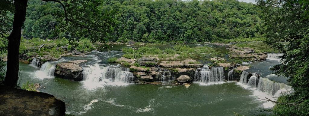
Badger Flat Falls
Badger Flat Falls is a 20-30 foot waterfall (depending on who you talk to) located inside Rock Island State Park. Badger Flat Falls is best viewed by kayak, but can be partially viewed at the Badger Flat Picnic Area. The Badger Flat Picnic Area is just after Area 3 and before the beach.
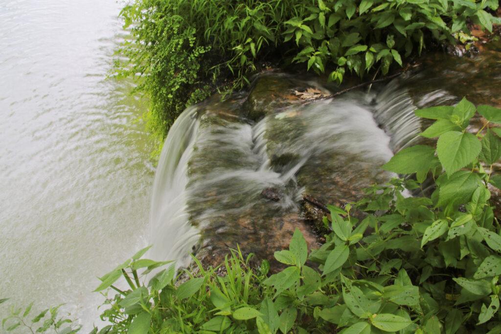
Lost Creek Falls
Lost Creek Falls is a 40 foot waterfall that flows directly into a sinkhole located inside Lost Creek State Natural Area. Lost Creek begins from large spring, drops over the falls, and then disappears underground. Lost Creek Falls and White’s Cave are only a 0.2 mile out and back hike from the parking area. The waterfall and cave can be reached by walking down stairs that lead to a short path to the base of the waterfall. If you would like to explore the cave, you must obtain a permit from Fall Creek Falls State Park.
In 1993 Disney filmed scenes for their live action version of “The Jungle Book” here, using both the waterfall and cave entrance.
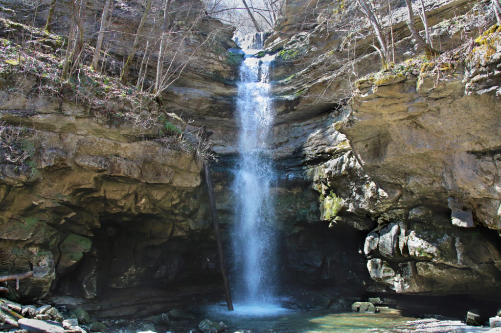
Burgess Falls
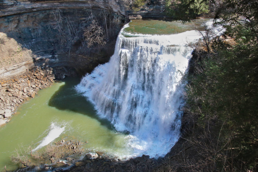
Burgess Falls State Park is home to Burgess Falls and three other waterfalls on the same trail. Each is more impressive than the previous. Burgess Falls is the last waterfall you will come to on the trail.
From the parking lot, just follow the stairs and your ears straight down to the 20 foot Falling Water Cascades. Continue down the trail and you’ll reach Upper/Little Falls. You’ll cross a wooden bridge just after you pass Upper/Little Falls. A short distance later, you’ll come to a steep staircase. Continue on to view Middle Falls and Burgess Falls. Please note that there is no longer a path to the base of Burgess Falls, however you can reach the base by kayak.
City Lake Falls
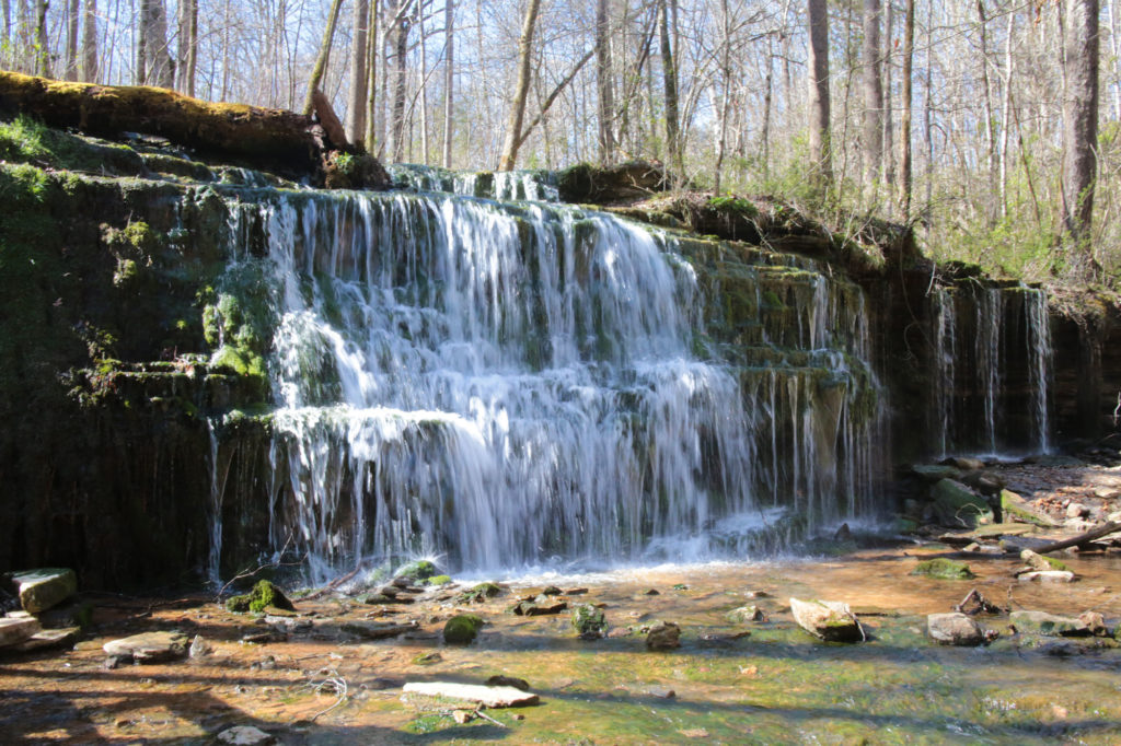
City Lake Falls is located inside the City Lake Natural Area in Cookeville. This park and the trail to the waterfall is family friendly. The City Lake Natural Area is not busy, so this is your chance to enjoy an easy 0.6 mile round trip hike to a waterfall where you may not even see another person or very few.
The parking area is located next to a beautiful lake. You’ll see the trail that leads you to the waterfall in the back of the parking area. The trail starts out paved, as you pass a building on your right the trail turns to gravel. Stay on the trail until it dead ends into a deck right next to City Lake Falls.
Leave a Reply