Looking for easy waterfall hikes in North Carolina? Well, you’ve come to the right place! We’ll be including easy, roadside and wheelchair accessible trails and even break them down into areas to make finding waterfalls in your area a piece of cake.
There are many beautiful waterfalls in North Carolina, but the best areas are the Blue Ridge Parkway and surrounding areas, Brevard (also known as the land of waterfalls) and Highland. This post will focus on the Blue Ridge Parkway areas. Be sure to check out other easy waterfalls in Brevard and Highland in other posts.
Please note: Each waterfall has a link to a separate page detailing directions, trail description and additional information.
The Blue Ridge Parkway and Surrounding Areas
The Blue Ridge Parkway runs through the tops of the Appalachians, and is home to many scenic overlooks, hiking trails, and numerous falls. However, waterfalls can be found throughout the mountains in various national and state parks, as well as some privately owned areas. These waterfalls are located either on the Parkway or just off a Parkway exit.
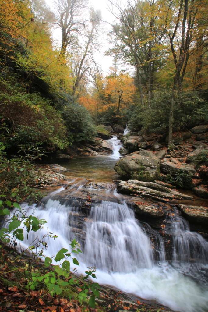
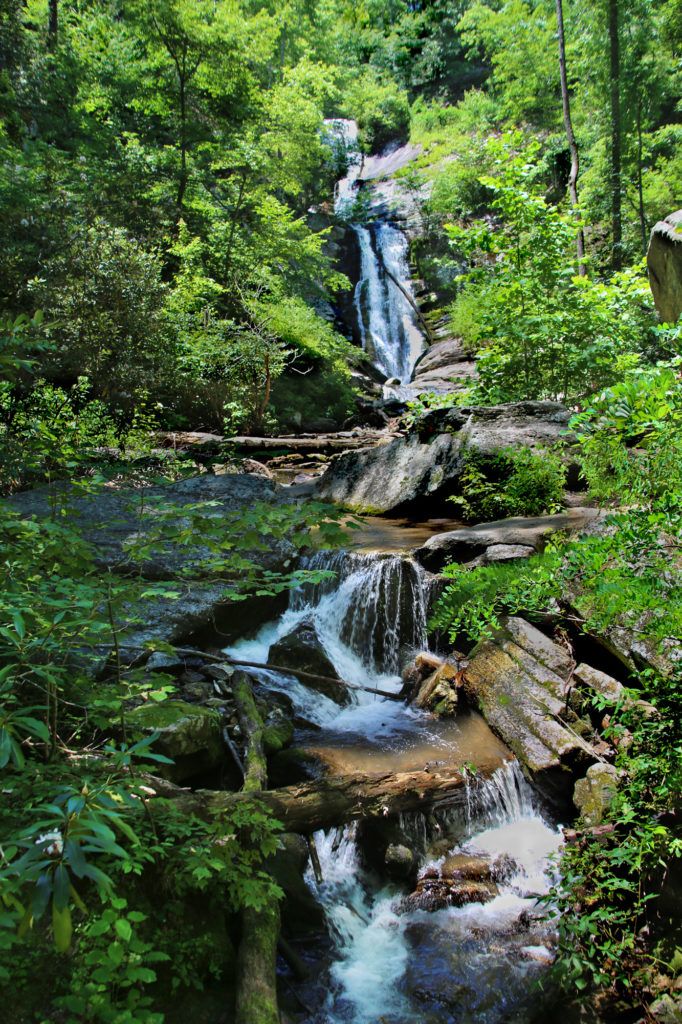
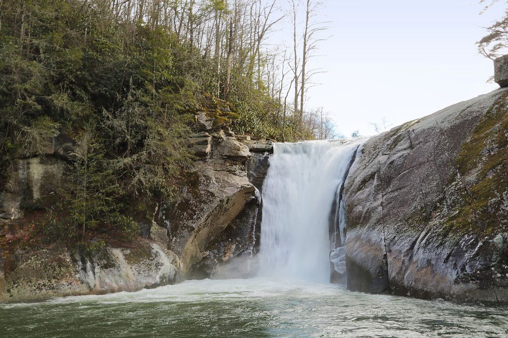
Soco Falls
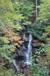
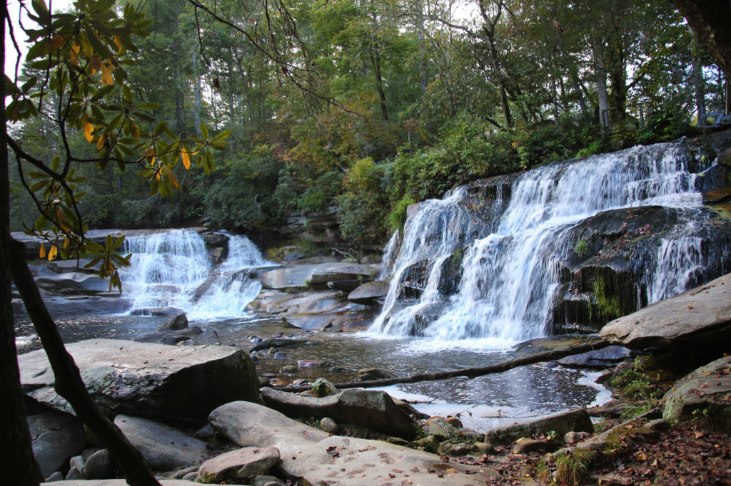
Soco Falls is a 120 foot, double waterfall located between Maggie Valley and Cherokee, just on the edge of the Cherokee Indian Reservation. You can view Soco Falls from several different locations. The first is the observation deck. The trail starts at the break in the guard rail just off the parking area. It takes less than five minutes to walk to the observation deck. There are a few tall steps that take you down to the trail. Follow the trail down to where it forks.
Go to the right to view Soco Falls from the observation deck. This gives you a really good view, so if you are uncertain as to if you want to try the more difficult part of the trail then simply enjoy the spectacular view from here.
For a closer view, continue down a steep trail from the deck to the base of the waterfalls. This section is steep and downhill. A system of ropes has been set up to help you climb to the base of Soco Falls and return to your car afterward. I would rate this section of the trail as moderate. There’s a spot about halfway down where you can view the waterfall without going all the way to the base if it is too crowded or you cannot make it any further.
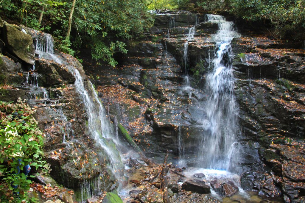
Woodfin Cascades Overlook
The namesake cascade at the Woodfin Cascades Overlook (Mile Post 445.7 of the Blue Ridge Parkway) is not in the parking area, but on the opposite side of the Blue Ridge Parkway. We actually drove past it the first time we spotted it and had to turn around and go back to see it. It is hard to spot through the trees, especially from the parking area.
Carefully cross the Blue Ridge Parkway. Woodfin Cascades is located just to the left of a trail designated by a post with a blue circle on it. I’m not sure which trail this is, but it may be part of the Mountains-to-Sea Trail.
The best view is to walk out directly in front of the cascade in the grassy area next to the Parkway road (see photo below). Be careful not to get too close to the road though.
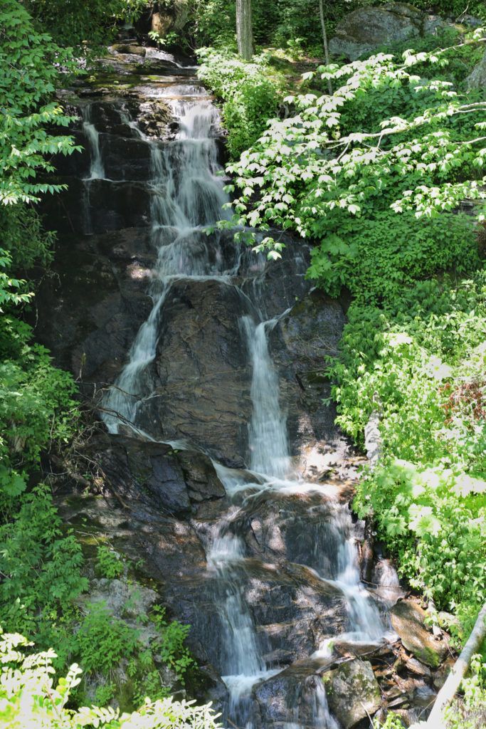
Skinny Dip Falls
Skinny Dip Falls is comprised of three series of small waterfalls and is about 30 feet high with a small swimming hole at its base. Skinny Dip Falls is unique in that it has a V-shaped waterfall that continues down to another waterfall and then fans out into three more waterfalls. The scenic trail is 0.8 miles and has an elevation gain of 210 feet.
At the beginning of the trail you’ll come to a tree that vaguely resembles the head of a deer. The path goes slightly uphill. Shortly afterward you’ll come to a short set of wooden steps. At the top, go left.
The trail will become rocky at this point, but it is still easy to hike. The trail ends at a second set of stairs that lead down to the base of the waterfall. The creek then turns to the right and you cross on a bridge in front of the waterfall.
The pool in front of the waterfalls is 5-6 feet at its deepest part and the water is clear and cool. If you want to take a swim during the warmer months, be sure to bring your bathing suit and towel. It’s not like the name suggests and it’s cold too!
Setrock Creek Falls
Setrock Creek Falls is a 75 foot waterfall that is off the beaten path. It is located in the Pisgah National Forest in Burnsville, North Carolina at the base of Mount Mitchell.
The waterfall is located inside the Black Mountain Campground, so if you’re not camping there you will need to park in the parking lot across from the bridge from the campground entrance.
The trail can be a bit challenging to find. From the parking lot across from the campground, you’ll cross the bridge and take the first road to the left (just across from the campground office). Stay on the road.
You’ll pass a multi-trail entrance on your left. Do not take this trail. After a short walk up the road you will see a trail post marker for the Mt. Mitchell trail on your right. Continue on the road until you get to the trail entrance with a marker for Setrock Falls.
The trail is an easy 1 mile out and back round trip. The trail is clearly defined and leads straight to the waterfall, however there are a lot of roots covering the trail.
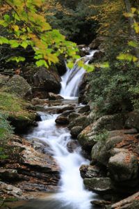
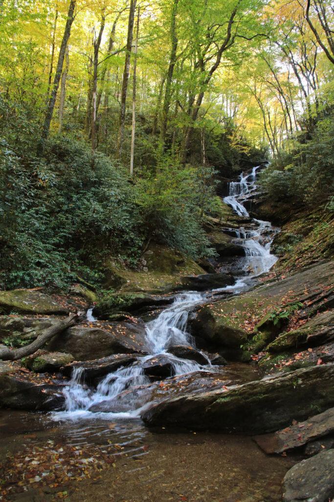
Roaring Fork Falls
Roaring Fork Creek Falls, located in the Pisgah National Forest in Burnsville, NC, is a long 50 foot cascade in a very pretty setting. Roaring Fork Falls is almost as long as it is high, with numerous cascades pouring into a small, clear pool at the base.
Roaring Fork Creek feeds into the nearby Toe River and the falls is surrounded by rhododendron, which are very pretty when blooming. It’s easy to find and an easy 1 mile round trip hike.
The hike to Roaring Fork Creek Falls starts on the opposite side of the road from the parking area. You will see a sign pointing you toward the falls. Go around the gate onto a mostly flat forest service road, which winds gradually uphill. You will pass several bunkers formerly used to store explosives along the side of the trail. Just before the road crosses the creek, turn right and cross a small wooden bridge, onto the Roaring Fork Falls trail. This forest path is easy, slightly uphill, and ends at Roaring Fork Creek Falls about 300 feet from the bridge.
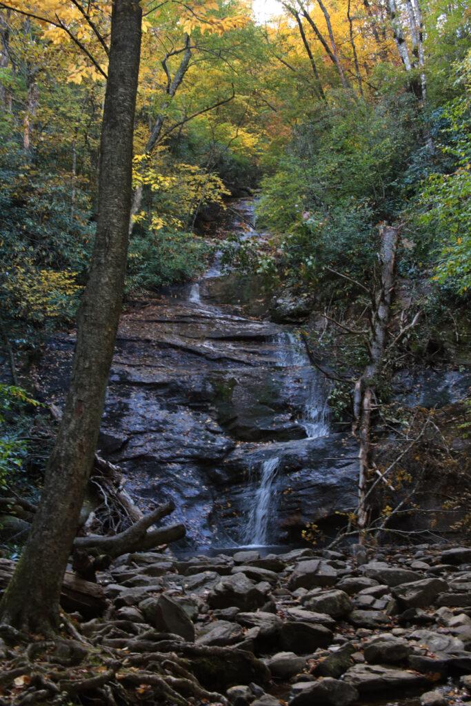
Big Creek Falls
Big Creek Falls is a small, but very pretty waterfall located in the Pisgah National Forest.
If you are in the area, it’s worth stopping by to see. There is not much traffic in the area and what little we saw, drove right past it. We probably would have too if we hadn’t known where to look. The top of Big Creek Falls is barely visible from the roadway.
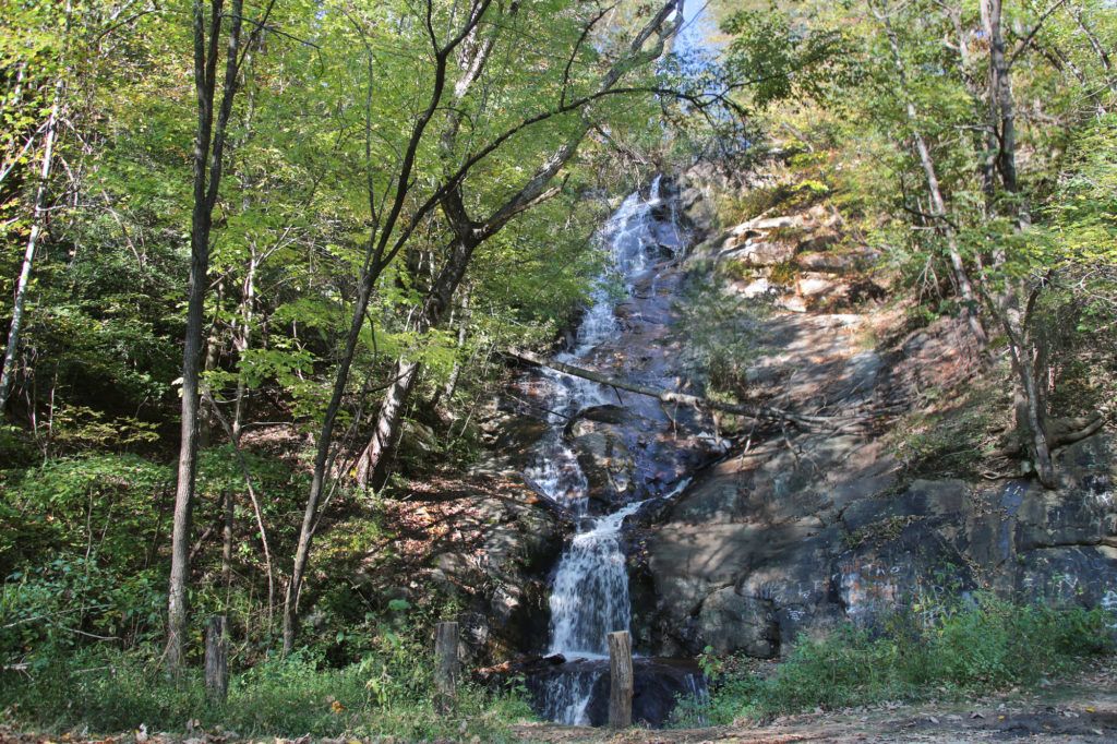
Tom’s Creek Falls
Tom’s Creek Falls is a family friendly 60 foot waterfall located in the Pisgah National Forest, with several smaller cascades running in front of it. It is an easy trail that leads to an observation deck with a great view.
At the entrance to the trail there is a sign for the waterfall. The trail runs alongside the creek and is very scenic. The gravel trail follows an old road bed most of the way. All creek crossings are crossed by bridges/steps. With the exception of a short hill at the very end, it is almost completely level.
You can take a trail to the base of the waterfall if you take the wooden steps to your right just before you get to the observation deck. This is also an easy hike. Many people like to play in the water at the base of the waterfall on hot days so it is a little crowded during the summer.
Linville Falls
Linville Falls is located on the Blue Ridge Parkway at mile post 316.4. The total height of the falls is 150 feet with four drops. Linville Falls starts with a twin set of upper falls, moving into a small gorge, and ending in a high-volume, 45-foot drop.
Linville Falls, formed by Linville River, marks the beginning of Linville Gorge.
There are four different overlooks that you can hike to different views of Linville Falls. Unlike some falls where the different overviews provide a similar view, you will find that all the views are very different and are extremely beautiful. I recommend them all. However, only one of these is an easy trail. The 0.5-mile Upper Falls trail leads to the top of Linville Falls, where you can see the two small upper falls. This is an easy trail, which is wide and accessible to everyone.
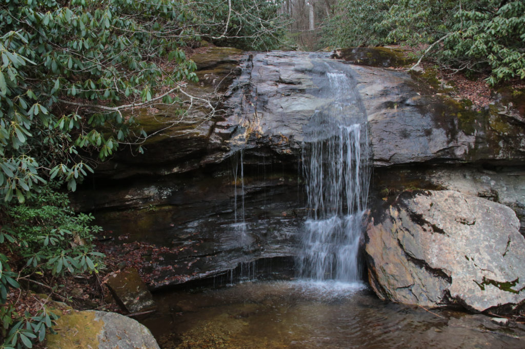
Dugger’s Creek Falls
Dugger’s Creek Falls is a small waterfall located on the Blue Ridge Parkway at the Linville Falls parking area at milepost 316.4. By itself this waterfall is not worth the effort of hiking to, however if you have time and are already there to see Linville Falls it is worth a small side trip. The 0.2 mile trail is located to the left of the visitor’s center, just follow the sidewalk.
The Duggers Creek Trail takes you to a bridge that crosses over Duggers Creek, giving you a straight on view of Dugger’s Creek Falls.
Bobby McLean Memorial Park, also known as Waterfall Park
Bobby McLean Memorial Park, also known as Waterfall Park is located in Newland. This memorial park honors a local firefighter.
Located fairly close to the Blue Ridge Parkway, this is a great little side stop to have a nice quiet picnic lunch that isn’t crowded. We were actually on the way to the Linville Falls off the Blue Ridge Parkway when we discovered this little gem.
Waterfall Park is a three-tiered waterfall that is 50 feet tall. It has a roadside view, so it’s able to be enjoyed by all. There is a little bridge right in front of the waterfall for great family photos. There’s also a trail that runs alongside the waterfall so you can hike up an enjoy different views of the waterfall. There are a few points that are a little steep, but nothing too difficult. There are viewing areas near each tier so you can enjoy them separately as well as all together.
Elk River Falls
Elk River Falls is located on Elk River, in Avery County just past the Tennessee/North Carolina border. The waterfalls is very picturesque and well worth a visit. This waterfall an easy hike and great for all ages. The trail is a short in and out trail with a 0.4 mile round trip.
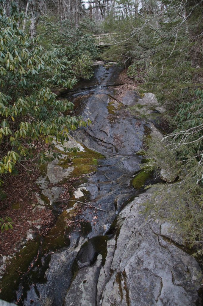
Waterfall at Rough Ridge Trail
The Waterfall at Rough Ridge Trail is located at milepost 302.8 on the Blue Ridge Parkway. This waterfall is best viewed after heavy rains. Most of the time there is hardly any water flow.
However, even if the waterfall is not visible when you visit, Rough Ridge Trail has some of the best views in the area and well worth a visit. The trail begins to the right of the parking area, just past the waterfall. You begin the trail on a rocky staircase and cross the bridge above the waterfall. Pets are not allowed on the trail past this point due to a protected critical and highly vulnerable plant community.
Green Mountain Creek Falls
While Green Mountain Creek Falls isn’t as impressive as many of the waterfalls on the nearby Blue Ridge Parkway, it is quite pretty and most likely you’ll have it all to yourself. It’s located about 8 miles from downtown Blowing Rock and only a short distance from the Blue Ridge Parkway so it is the perfect waterfall for a side trip.
Green Mountain Creek Falls is about 20 feet high with a shallow plunge pool. It is roadside and you can stand right in front of the plunge pool. The waterfall empties into a culvert where the stream continues on the other side of the road.
Silvervale Falls
Silvervale Falls is a 80 foot roadside waterfall located in Caldwell County, near Blowing Rock. There is a parking space right next to the waterfall, so there is no need to hike to this waterfall.
French Broad Falls/Mill Shoals Falls
French Broad Falls and Mill Shoals Falls (also called Shoal Creek Falls), are located right next to each other. While only 13-15 feet each, both are pretty and very easy to reach.
They are located on the private property of the Living Waters Ministry, which gives permission for the public to visit their waterfalls at the visitors’ own risk. You cannot park in their parking lots, but you can park by the entrance off the side of the road. They ask that all pets be on a leash and that people do not leave litter or disturb their property (look, but touch).
Once you park on the side of the road, you’ll see signs saying “enter at your own risk”. You’ll see the entrance to the waterfall trail just after this. Follow the trail down and it will split into two directions. French Broad Falls and Mill Shoals Falls are to your right and Cathedral Falls is to your left.
Cathedral Falls (also called Bird Rock Falls)
After viewing French Broad Falls and Mill Shoals Falls, return to the trail and head to the other side of the trail to go to Cathedral Falls. It is about 0.25 miles away. Just follow the bridges and they will lead you straight to Cathedral Falls.
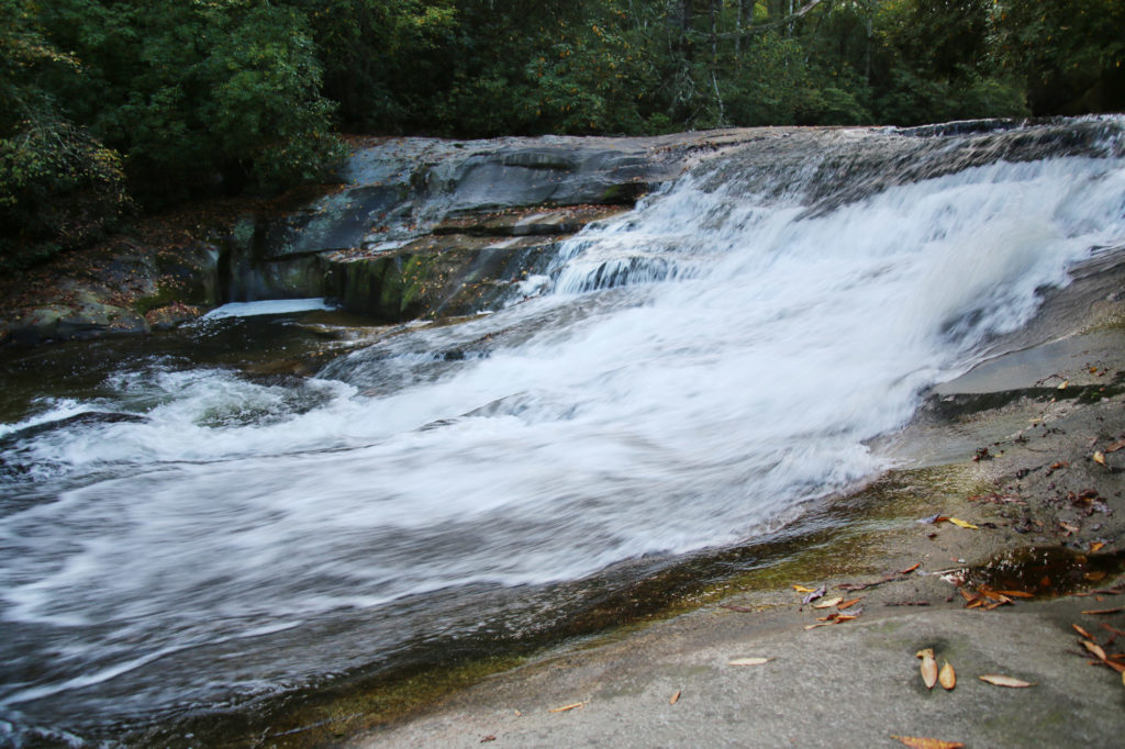
The Cascades/Cascade Falls
The Cascades are located at mile post 271.9 (E. B. Jeffress Park) on the Blue Ridge Parkway. This easy 1 mile trail is perfect for the whole family.
The Cascades trail starts on a paved trail beside a restroom (open May through October). There is one section where you go down some steep steps to two overlooks for Cascade Falls, so if you have difficulty with stairs you might want to skip this one. You’ll descend 50 feet to reach the first overlook and another 200 feet to reach the second overlook.
Leave a Reply