Southeast Waterfall & Hiking Guide

Your Hiking Guide to Waterfalls and more in the Southeast US

  • Home
  • About
  • Ease of Trail
    • Roadside
    • Wheelchair Accessible
    • Easy
    • Moderate
    • Strenuous/Hard
  • Fall Location
    • Georgia
    • North Carolina
    • South Carolina
    • Kentucky
    • Tennessee
    • Virginia
  • Waterfall Trips
    • Day Trip
    • 3 to 5 Day Trip
  • Area Attractions
    • Bridges
  • Hiking
  • Blog
    • News
    • Photography
  • Terms to Know
Home Trails Pancake Falls at Living Waters Ministry

Pancake Falls at Living Waters Ministry

Posted on November 5, 2019 Written by Leave a Comment

Nearby Areas: Balsam Grove, Blue Ridge Parkway   State: North Carolina   Ease of Trail: Easy

While on the way to Cathedral Falls (also called Bird Rock Falls), you’ll pass an unnamed waterfall and “Pancake Falls.” Pancake Falls and an unnamed cascade can be viewed from the trail that is alongside the river.
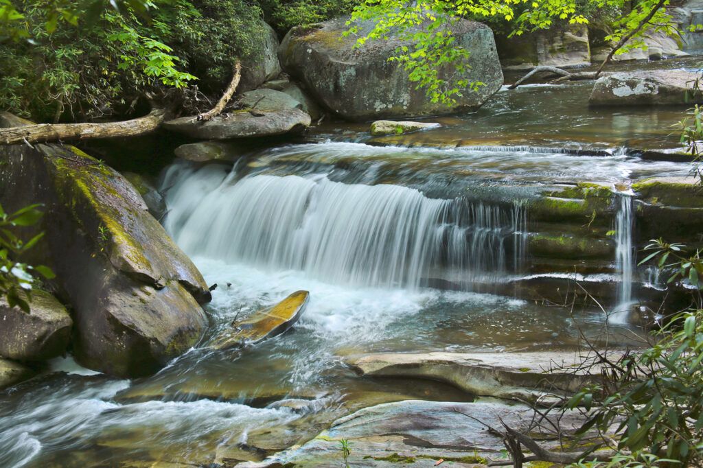
Pancake Falls

While the area is best known for French Broad Falls, Mill Shoal Falls (also called Shoal Creek Falls) and Cathedral Falls, also known as Bird Rock Falls, these cascades have character of their own. I love the fact that all of the waterfalls and cascades on the property each have a different look.

These waterfalls are all located on the private property of the Living Waters Ministry in Balsam Grove. Living Waters Ministry gives permission for the public to visit their waterfalls at the visitors’ own risk. They ask that all pets be on a leash and that people do not leave litter or disturb their property (look, but don’t touch).

From the intersection of the Blue Ridge Parkway and NC215, start your trip odometer at the stop sign before turning right onto NC215 heading south. You’ll go under the Blue Ridge Parkway. Stay on NC215 for just over 9 miles. Living Waters Ministry will be on your right. The owners request that hikers do not park in their parking lots, but you can park by the entrance of the parking area off the side of the road. There are some wide areas so be sure you are all the way off the road.

Once you park on the side of the road, you’ll see signs saying “enter at your own risk.” You’ll see the entrance to the waterfall trail just after this. Follow the trail down and it will split into two directions.  Cathedral Falls, formerly known as Bird Rock Falls, along with Pancake Falls and the unnamed waterfall are to your left. French Broad Falls and Mill Shoals Falls are to your right.
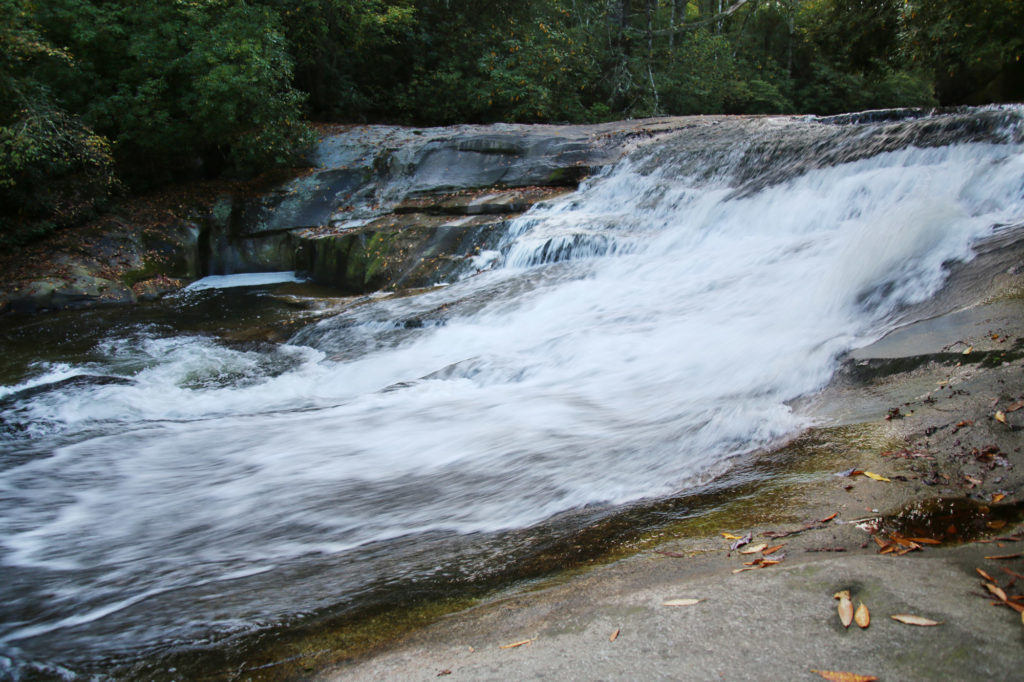
Unnamed Cascade on the way to Cathedral Falls

You take the trail to the left to go to Cathedral Falls. Follow the trail about 0.25 miles down river. Along the way, you’ll come across an unnamed cascade and then a short distance away you’ll reach Pancake Falls.
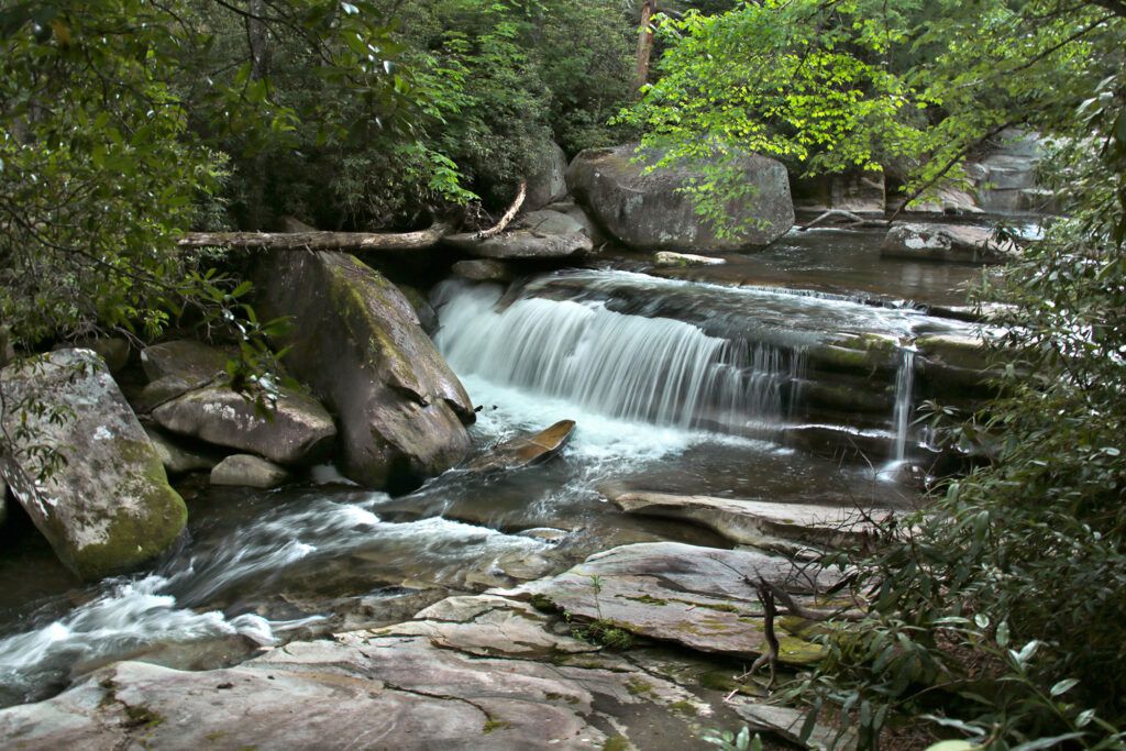
Pancake Falls

It is a great place to relax by the river. We had them all to ourselves when we visited. When you’re done, continue following the trail to Cathedral Falls. Once you are done you can return the way you came.

If you want to see French Broad Falls and Mill Shoals Falls (of course you do), head back up to where the path splits and take the other path. When you look to your right you will see a bright red building with a waterfall right next to it. This is Mill Shoals Falls. Next to it is French Broad Falls. Both are about 13-15 feet in height, but quite pretty.
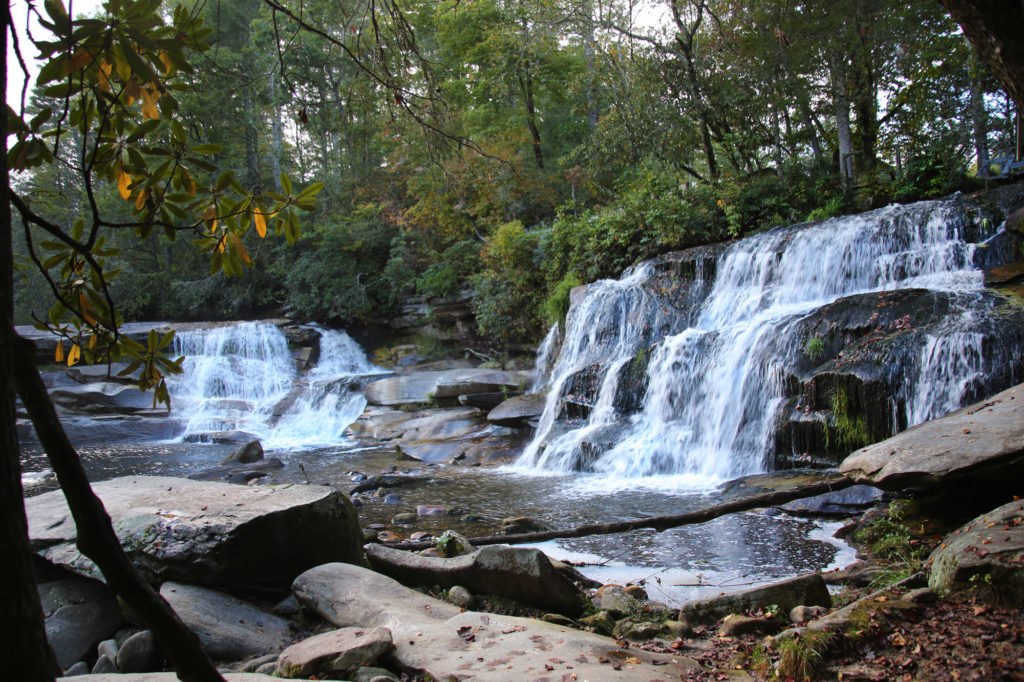
French Broad Falls and Mill Shoals Falls

Thank you so much to Living Waters Ministry for sharing these beautiful waterfalls with the public!

Share:

  • Share on Facebook (Opens in new window) Facebook
  • Share on X (Opens in new window) X
  • Share on WhatsApp (Opens in new window) WhatsApp
  • Share on Pinterest (Opens in new window) Pinterest
  • More
  • Share on Tumblr (Opens in new window) Tumblr
  • Share on Reddit (Opens in new window) Reddit
  • Print (Opens in new window) Print

Like this:

Like Loading…

Related

Directions

From US Highway 64 near Rosman: Drive NC 215 North about 7.5 miles. Look for the parking pull off on the left just before the Living Waters sign (look for the "private property, enter at own risk" signs). From the Blue Ridge Parkway: Drive NC Highway 215 South about 9.2 miles and park on the right just past the Living Waters sign. GPS Address: 7935 Parkway Road, Balsam Grove, NC.

GPS Coordinates

To the Waterfall:35.221175, -82.861245

Nearby Areas: Balsam Grove, Blue Ridge Parkway

State: North Carolina

Ease of Trail: Easy

Leave a ReplyCancel reply

Recently Added Waterfalls

  • Bullpen Cove Falls
    State: North Carolina
    Trail Ease: Roadside
  • Buffalo Springs Falls
    State: Tennessee
    Trail Ease: Easy, Roadside
  • Glen Falls
    State: Tennessee
    Trail Ease: Moderate
  • Vickery Creek Falls/Dam
    State: Georgia
    Trail Ease: Easy
  • Waterfall Park (Dalton, GA)
    State: Georgia
    Trail Ease: Easy

Recently Added Trips

  • Rutledge Falls at the base
    Explore Ten Waterfalls In a Day In This Tennessee Waterfall Road Trip
  • The Sinks 2
    Smoky Mountain Roadside Waterfall Day Trip
  • Little Egypt Falls
    Wartburg Area Waterfall Day Trip
  • Rutledge Falls at the base
    Tullahoma Family Friendly Waterfall Day Trip
  • Lower Greeter Falls in the Spring
    South Central Tennessee 3-5 Day Trip
  • Full length of Pine Ridge Falls
    Erwin Area Waterfall Day Trip
  • Upper Falls Graveyard Fields
    Blue Ridge Parkway to Highlands Road Trip

Fall Trails by Difficulty

  • Easy (111 trails)
  • Moderate (43 trails)
  • Wheelchair Accessible (10 trails)
  • Roadside (43 trails)
  • Strenuous (9 trails)

Waterfalls by State

  • Georgia (8 trails)
  • South Carolina (9 trails)
  • North Carolina (48 trails)
  • Tennessee (76 trails)
  • Virginia (9 trails)
  • Kentucky (4 trails)

Copyright Info
Privacy Policy

Supporting the Site
Disclaimer & Info
About the Authors
Wesite developed by Waltdesign & Development.
%d