This waterfall day trip clocks in at just under 1 hour drive time and includes 6 waterfalls ranging in length and difficulty. My youngest has been able to walk all these trails except one, which he wasn’t with us for, however I’m pretty sure he could have done it with some assistance. Two of the trails do involve creek crossings. The first two trails are longer and the most difficult, however the drive to the two parking areas is only 0.2 miles apart.
Sill Branch Falls
Sill Branch Falls is located in the Clark’s Creek area of the Cherokee National Forest. The parking area is opposite of the trailhead.
This beautiful 20 foot waterfall starts out with a fairly easy hike with just a tiny incline over slightly rocky terrain with a few roots along the way. When the trail forks, make sure you go to the left and you’ll immediately cross a small stream. You’ll see a steep incline on the other side of the stream. There are several places off to the side that go down to the creek, so make sure you don’t turn off too early. Continue up this steep section of the trail and you’ll soon arrive at the waterfall. You’ll return the way you came to get back to your car. Returning is much easier.
This waterfall is best viewed after a good rain and in the Spring. Also to avoid crowds, earlier in the morning is best. I would rate this waterfall as an easy/moderate since you do have all the rocks and roots to navigate and the one really steep incline.
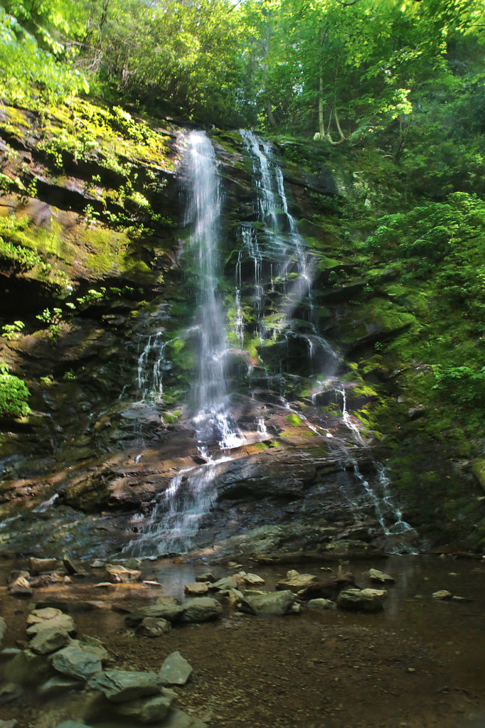
Pine Ridge Falls
Pine Ridge Falls is a 25 foot waterfall is located just 0.2 miles down the road from the parking area of Sill Branch Falls. The hike to Pine Ridge is an easy one mile round trip. The trail is well maintained and not too busy. There is one creek crossing that can be tricky when the water’s up.
You’ll follow the Longarm Branch Trail at the beginning to reach Pine Ridge Falls. You should see the trail sign from the parking area. Take the Longarm Branch Trail and just after you cross the stream the trail forks. Longarm Branch Trail continues right. But you’ll want to take the path to the left to get to Pine Ridge Falls. This will bring you to the base of the waterfall or you can continue up to the top part of the waterfall.
This is an out and back trail and when you get to the waterfall, you’ll have to turn around and return the way you came.
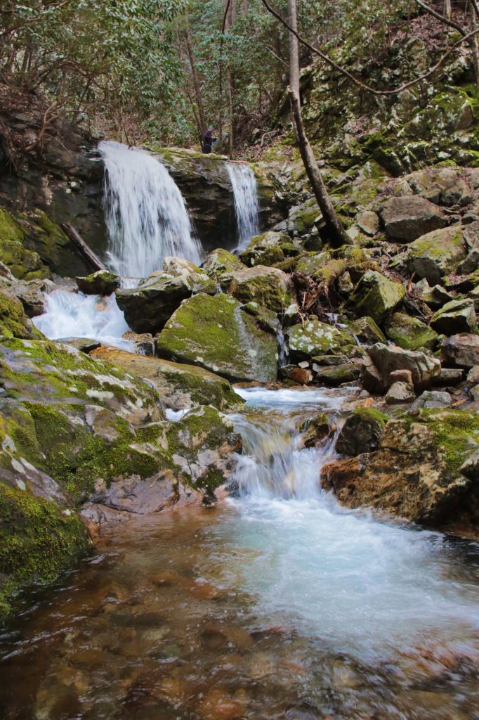
Millstone Creek Falls
Millstone Creek Falls isn’t one of the easiest to find, but if you follow the directions, you shouldn’t have too hard a time finding this 30 foot waterfall. Millstone Creek Falls is located on private property on the western side of Buffalo Mountain in Washington County, but the owners give permission so long as visitors respect the property and don’t litter.
The trailhead is located just across the road from a pulloff. There are other pulloffs not far away if this one is full. The hike is only 150 yards. I would rate it an easy/moderate depending on the trail conditions.
The trail goes upward from the entrance and there are some roots growing in the trail. It’s not difficult in dry weather, but can be a little slick if it has rained recently so you may want to bring a hiking stick to help on one part at the beginning/end. The waterfall is nestled in between two cliffs. You will go back the way you came.
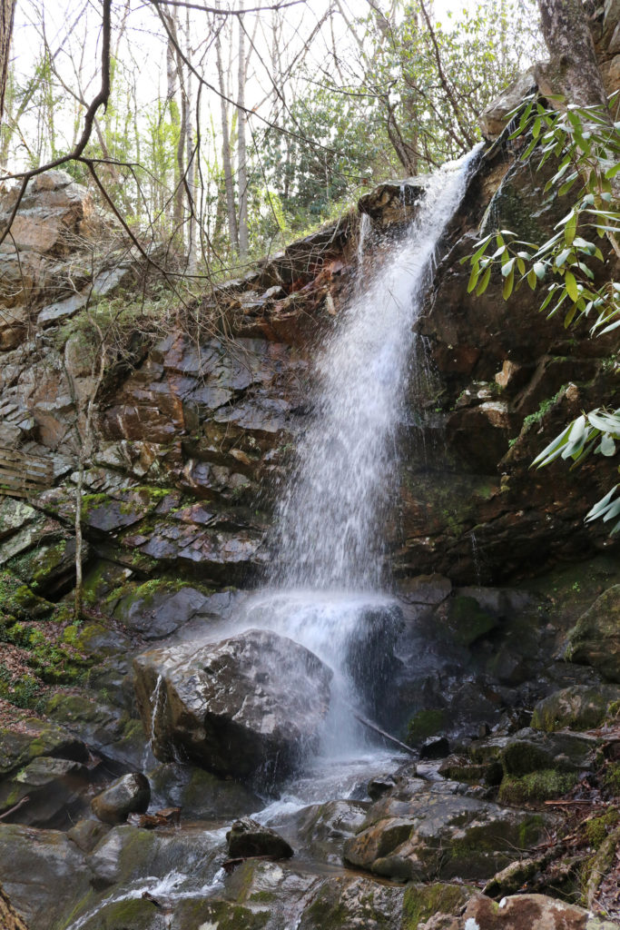
Middle Spivey Falls
Middle Spivey Falls isn’t the easiest waterfall to find or photograph, but it is worth it. It is not crowded like many other waterfalls, in fact we were the only ones there so we had plenty of time to ourselves to absorb the beauty and tranquility. Middle Spivey Falls is best photographed early in the morning or on an overcast day.
Middle Spivey Falls can be reached by a path the includes wooden and stone steps most of the way. You can also reach the waterfall via a turnoff with enough room to park one car. It’s a pretty steep descent down to the base of the waterfall, but it can be done moving carefully.
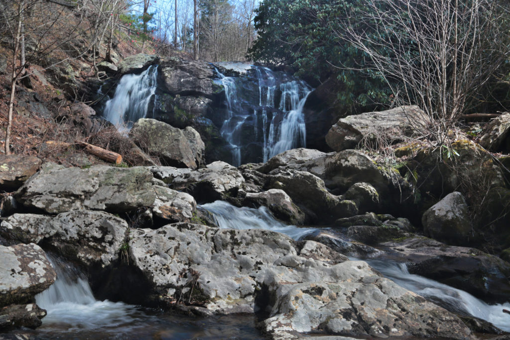
Lower Spivey Falls
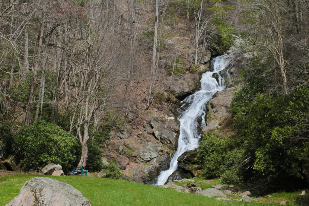
Lower Spivey Falls is a pretty, 50 foot waterfall located on private property. Lower Spivey Falls is part of a series of four large waterfalls, all of which are privately owned.
The owners do allow visitors but ask that they not approach the waterfall or the creek (which is also blocked off by a fence). There is a parking space right in front of the waterfall, which can be seen at a short distance away. There is a gate between the parking space and the waterfall. Visitors are not allowed beyond the gate. Even from this distance, the waterfall is impressive and unique.
Big Creek Falls
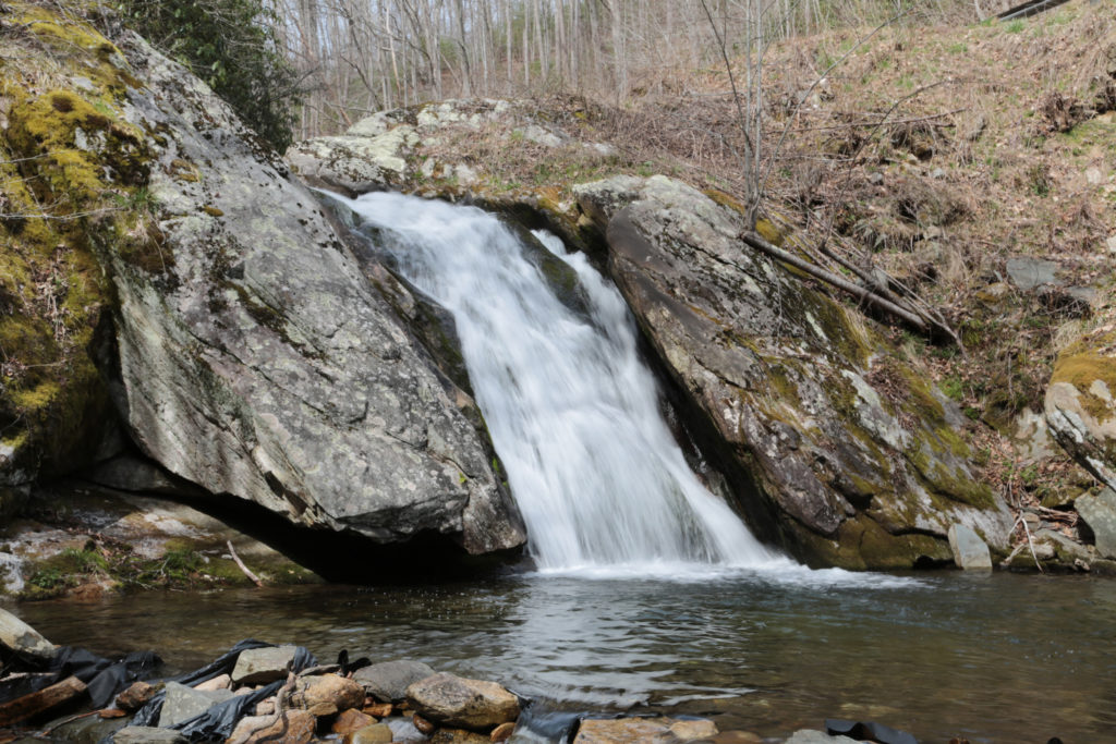
Big Creek Falls is a small, but very pretty waterfall located in the Pisgah National Forest.If you are in the area, it’s worth stopping by to see. The top of Big Creek Falls is barely visible from the roadway.
The waterfall is nestled in between several large, moss-covered boulders. The water cascades down into a small round pool that feeds off the creek. This waterfall, like many, is most impressive after a good rainstorm or during winter or spring.
While the drive time is only about one hour, this might be a two day trip depending on when you start the trip. The last three waterfalls are really short hikes, so you’ll need to consider that when deciding whether to make this trip a one or two day trip.
Leave a Reply