Looking for easy waterfall hikes in Tennessee? Well, you’ve come to the right place! We’ll be including easy, roadside and wheelchair accessible trails and even break them down into areas to make finding waterfalls in your area a piece of cake.
In this post, we will focus on the East Central waterfalls located in the Wartburg, Crossville, Cookeville, Sparta, and Spencer areas. This area is where many of the most popular waterfalls are in the entire state.
We also have Easy Tennessee Waterfall Hikes for the Northeast corner of Tennessee including Bristol, Kingsport, Erwin, Greeneville and the Smoky Mountains National Park. Our Easy Southeast Waterfalls includes the areas around the cities of Manchester, Chattanooga, and Tellico Springs.
Please note: Each waterfall has a link to a separate page detailing directions, trail description and additional information.
Caryville
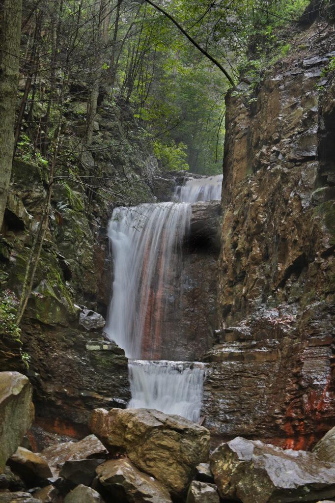
Little Egypt Falls/Triple Falls
Little Egypt Falls (also known as Triple Falls and Bruce Creek Falls – because it is on Bruce Creek) is actually part of a longer trail starting at Cove Lake State Park, but there’s a parking area on Shelton Hollow Lane, which is the easiest way to reach the waterfall. Within 0.2 miles of starting the trail, you will reach the first waterfall on the trail. You’ll pass several really pretty cascades on the way to Little Egypt Falls. In less than half a mile you will reach Little Egypt Falls.
Wartburg
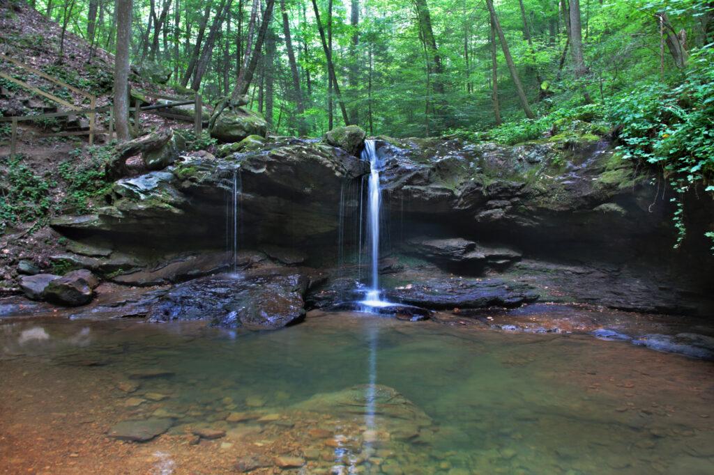
Debord Falls (at Frozen Head State Park)
Debord Falls is one of those waterfalls best viewed after a good rain or during early spring.
To reach Debord Falls drive into the entrance to Frozen Head State Park and take the road until it dead ends into the parking lot for the Panther Branch Trail.
The trail is wide, but has some rocky and rooty parts. There is a creek near the beginning of the trail. If the water is low here, it will be low at Debord Falls.
At 0.6 miles, you will reach the short side trail leading to Debord Falls. Go to the right to view the falls from the observation deck. After passing the observation deck, you will see a wooden staircase on your right that descends to the base of the falls.
Potter’s Falls
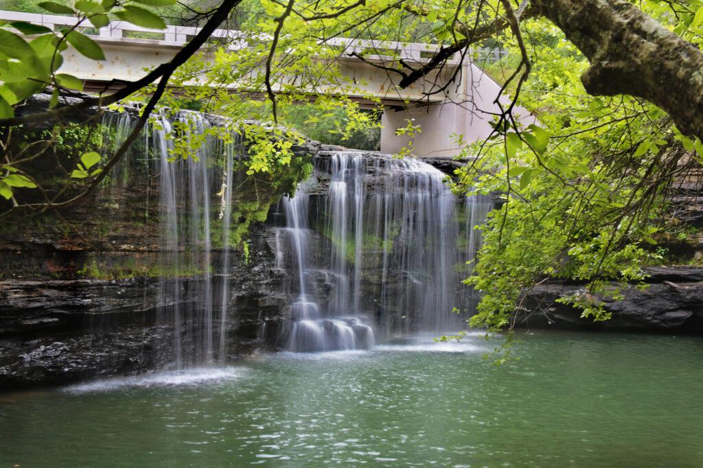
Potter’s Falls is located near Frozen Head State Park in Wartburg.
Potter’s Falls is 18-feet tall and spans the width of Crooked Fork Creek. From the parking lot continue onto the trail directly in front of you. There are several small offshoot trails in this area that you can explore.
Go about 100 feet from the parking lot and you will see a side trail that will take you to a view of Potter’s Falls. You can climb down some rocks to get to the base of the waterfall. There is a large pool of water at the base of that falls, which locals use for swimming.
Lower Potter’s Falls
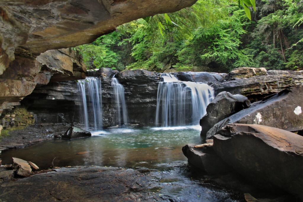
Continue down the trail from Potter’s Falls. In just a few minutes, you’ll see another side trail that will take you to Lower Potter’s Falls.
Both trails are about 0.2 miles combined. Lower Potter’s Falls is comprised of two sections, the first is 12 feet and the second is 6 feet for a combined height of 18 feet. The pilot for the television show “Young Daniel Boone” was filmed here.
Cookeville
Waterloo Falls
Waterloo Falls is a 35 foot waterfall located about 15 minutes north of Cookeville.
You can either view it from the side or from the base. If you want to go to the base, you’ll need to purchase a pass. Cost is $6 per individual or you can get a carpool pass for $24 which covers 4 or more. You can purchase passes at https://waterloovenueandevents.com/river-access/.
To view Waterloo Falls from the upper parking area, you can go down a side trail and get the view below without going to the base.
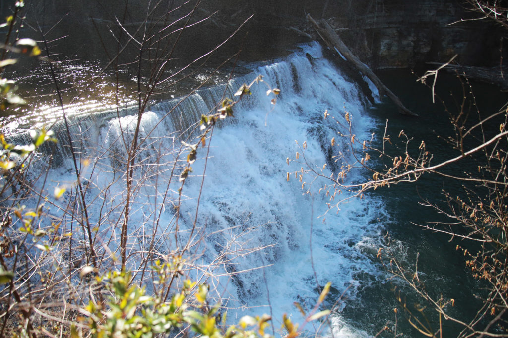
Upper Waterloo Falls
Upper Waterloo Falls is a 5 foot waterfall located about 15 minutes north of Cookeville. While 5 feet in height seems really small, this waterfall is probably one the widest I’ve ever seen. There are no signs pointing toward Upper Waterloo Falls, but it is easy to get to.
Once you park your car, go toward the back of the parking area and walk east on the dirt road, which follows Spring Creek. The road forks many times so always pick the way that is closest to the creek. This path will dead-end into Upper Waterloo Falls in about 0.25 miles.
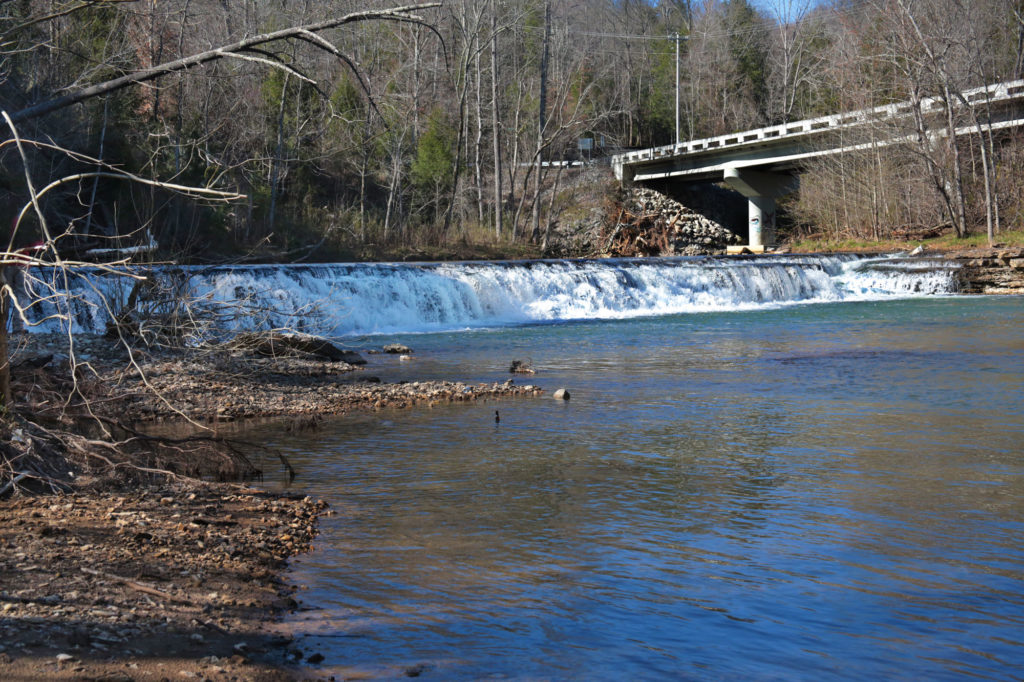
Cummins Falls
Located 8 miles away from Cookeville, Cummins Falls is the eighth largest waterfall in volume. This 75 foot waterfall, on the Blackburn Fork State Scenic River on the Eastern Highland Rim, is one of the most accessible waterfalls in Tennessee.
The easiest way to view Cummins Falls is from the overlook. To reach the overlook keep heading straight past the Visitor Center and you’ll see the entrance to the trail on your left. There are a couple of directions you can go to take you to the overlook, but eventually they all reach the same place.
After a short walk, you’ll come to some stairs that take you down to a gravel road. Keep following the road and you’ll see a parking space on the right for handicap parking (ADA access to the overlook is available upon request) with a paved walkway that takes you to the overlook.
Off to the left is the overlook. There is a large platform where you can look down into the gorge and see Cummins Falls. Cummins Falls has two sections. The first has a plunge drop of 50 feet, that ends in a shallow pool. The second part cascades another 25 feet into a large, deep swimming hole. The hike down to the base is moderate/strenuous and requires a permit that you can purchase online or get at the Park if any are still available.
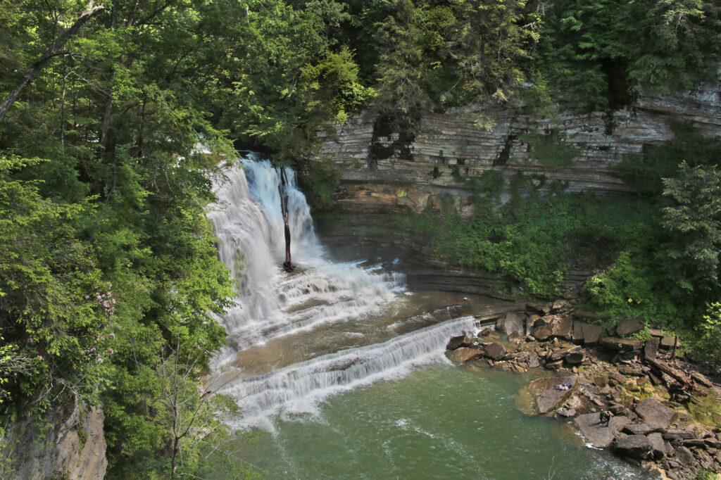
City Lake Falls
City Lake Falls is located inside the City Lake Natural Area in Cookeville. This park and the trail to the waterfall is family friendly.
This easy 0.6 mile round trip hike is located next to a beautiful lake. You’ll see the trail that leads you to the waterfall in the back of the parking area. The trail starts out paved, as you pass a building on your right the trail turns to gravel. Stay on the trail until it dead ends into a deck right next to City Lake Falls.
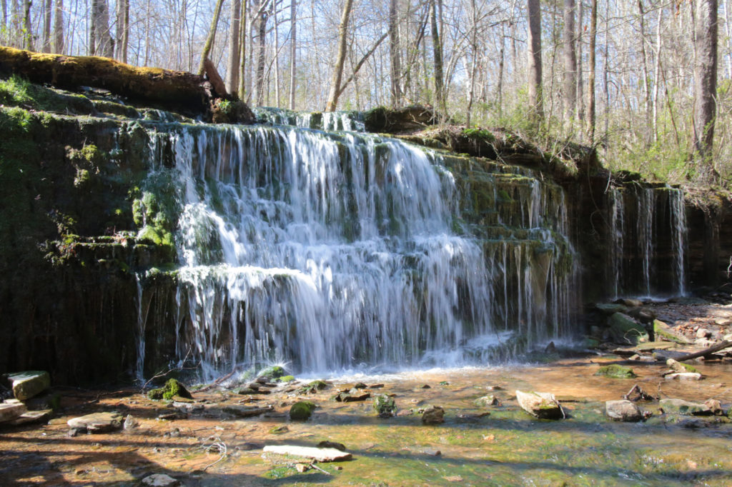
Falling Water Cascades (Burgess Falls State Park)
Burgess Falls State Park is home to its namesake, Burgess Falls, but also three other waterfalls on the same trail including Falling Water Cascades. Falling Water Cascades is the first you will come to on the trail. It is only a couple of feet from the parking lot. From the parking lot, just follow the stairs and your ears straight down to the 20 foot Falling Water Cascades.
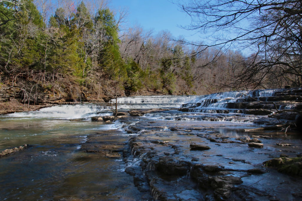
Upper/Little Falls (Burgess Falls State Park)
After viewing Falling Water Cascades continue down the trail. There are a few roots protruding from the trail so watch your step. The overlook for Upper Falls is right before you get to the large wooden bridge. However, I think the view just after you cross the bridge is better.
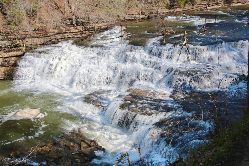
Middle Falls (Burgess Falls State Park)
After viewing Falling Water Cascades and Upper/Little Falls continue down the trail. There are a few roots protruding from the trail so watch your step. You’ll cross a wooden bridge just after you pass Upper/Little Falls.
A short distance later, you’ll come to a steep staircase. When my son was a toddler, some of the steps were a little tall for him to easily navigate, but with help he was able to manage them. There is a bench at the top of the stairs before you continue on to Middle Falls.
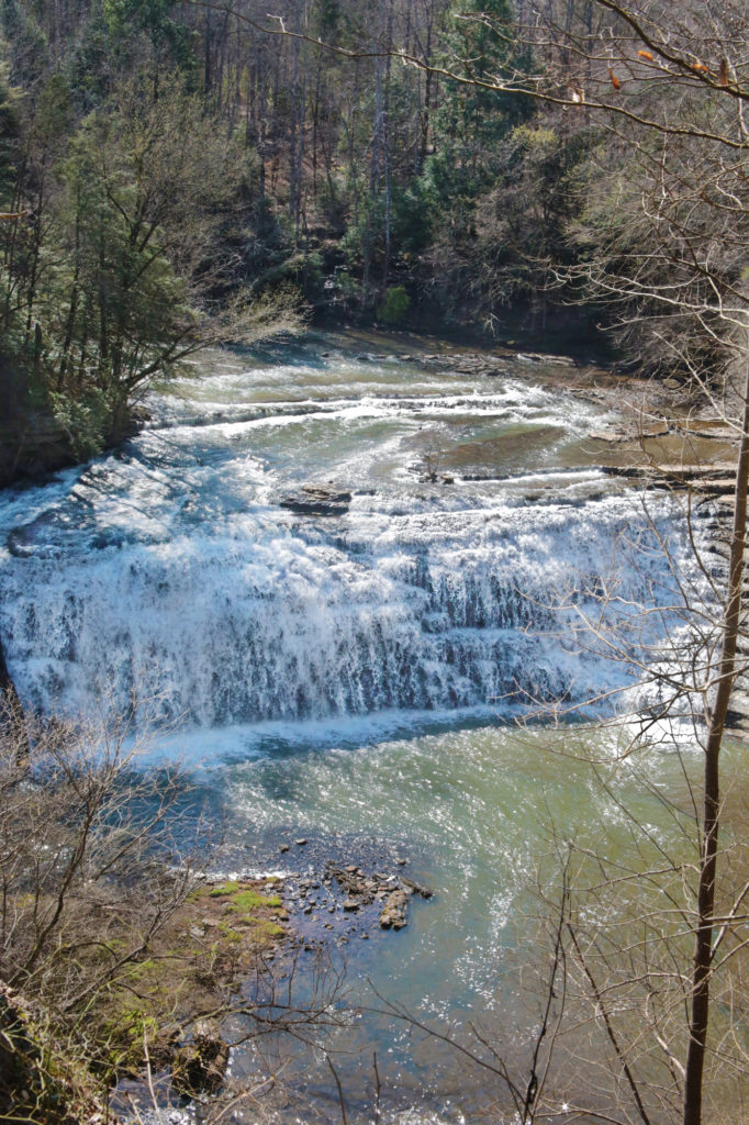
Burgess Falls
There will be a sign by Middle Falls, pointing the direction to Burgess Falls. Continue to follow the trail to the Burgess Falls overlook. Sadly there is no way to reach the base of Burgess Falls by foot anymore. You can, however, still reach it by kayak if you want a better view. An access point is available approximately 2 miles down the river.
To return to your car you may either go back the way you came or you may return using a access road that is an easy, level path that runs above the trail you took to get to Burgess Falls. It is a much easier path as you don’t have to climb down the steep staircase.
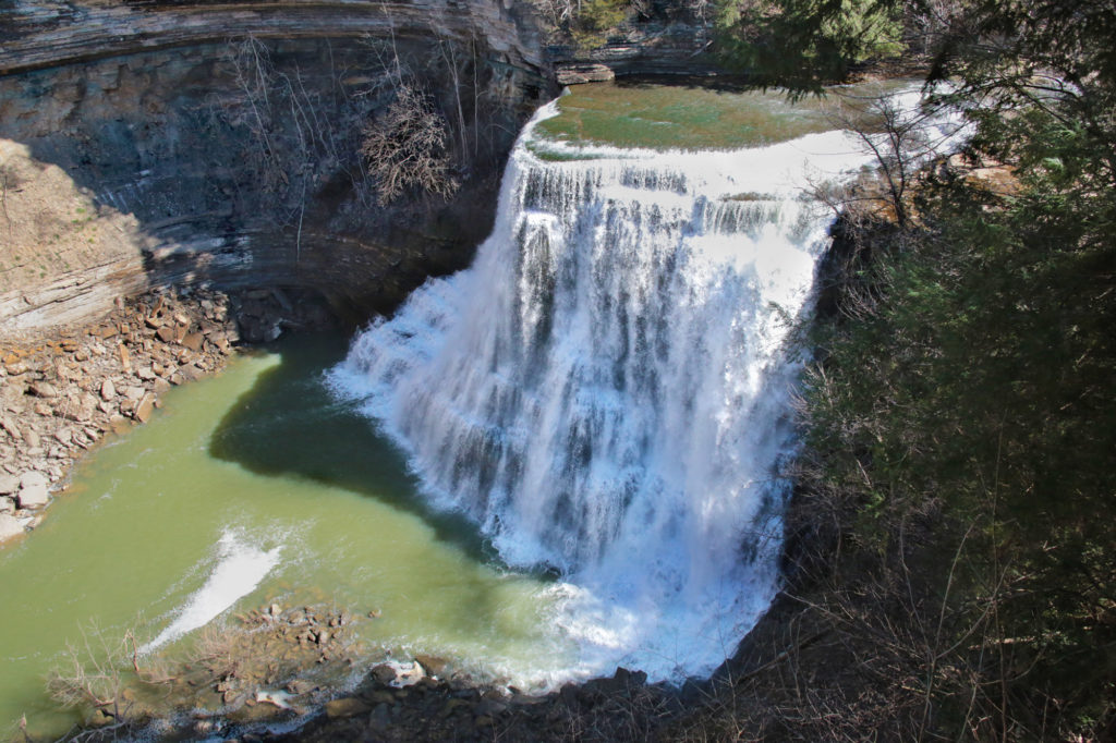
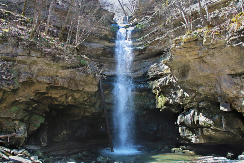
Lost Creek Falls
Lost Creek Falls is a 40 foot waterfall that flows directly into a sinkhole located inside Lost Creek State Natural Area. Lost Creek begins from large spring, drops over the falls, and then disappears underground.
Lost Creek Falls and White’s Cave are only a 0.2 mile out and back hike from the parking area. The waterfall and cave can be reached by walking down stairs that lead to a short path to the base of the waterfall. The trail has blue blazes to follow that lead to the waterfall. If you would like to explore the cave, you must obtain a permit from Fall Creek Falls State Park.
In 1993 Disney filmed scenes for their live action version of “The Jungle Book” here, using both the waterfall and cave entrance. While filming the movie, a 20-foot high styrofoam Hindu temple lion was placed in the entrance of the cave.
Sparta/Rock Island
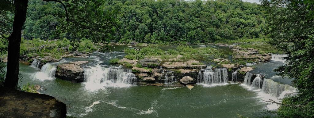
Great Falls
Great Falls is one of the easiest waterfalls you’ll ever view. Great Falls is a 30 foot horseshoe cascading waterfall, which is located below the 19th century cotton textile mill that it powered over 100 years ago. Great Falls is visible from an overlook located at the end of a parking lot.
Badger Flat Falls
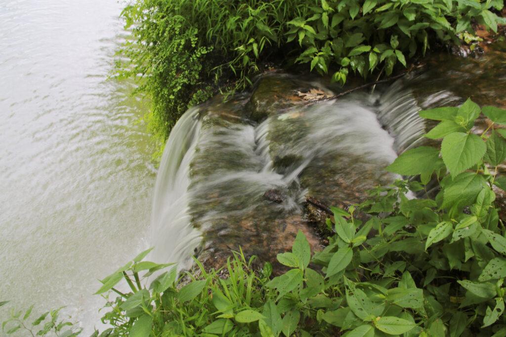
Badger Flat Falls is a 20-30 foot waterfall (depending on who you talk to) located inside Rock Island State Park. Badger Flat Falls is best viewed by kayak, but can be partially viewed at the Badger Flat Picnic Area. The Badger Flat Picnic Area is just after Area 3 and before the beach.
To view from dry ground park at the Badger Flat parking lot and head toward the picnic tables located in front of the water facing the cliff face. Do not take the path up toward the restroom facilities if you want to view the falls.
You should cross a short wooden bridge to reach the picnic tables. After crossing the bridge, take the short trail to your right. You’ll pass several picnic tables. At the end you’ll see two small cascades on your right. If you go to your left and look down below you’ll see the top of Badger Flat Falls.
Spencer/Fall Creek Falls State Park
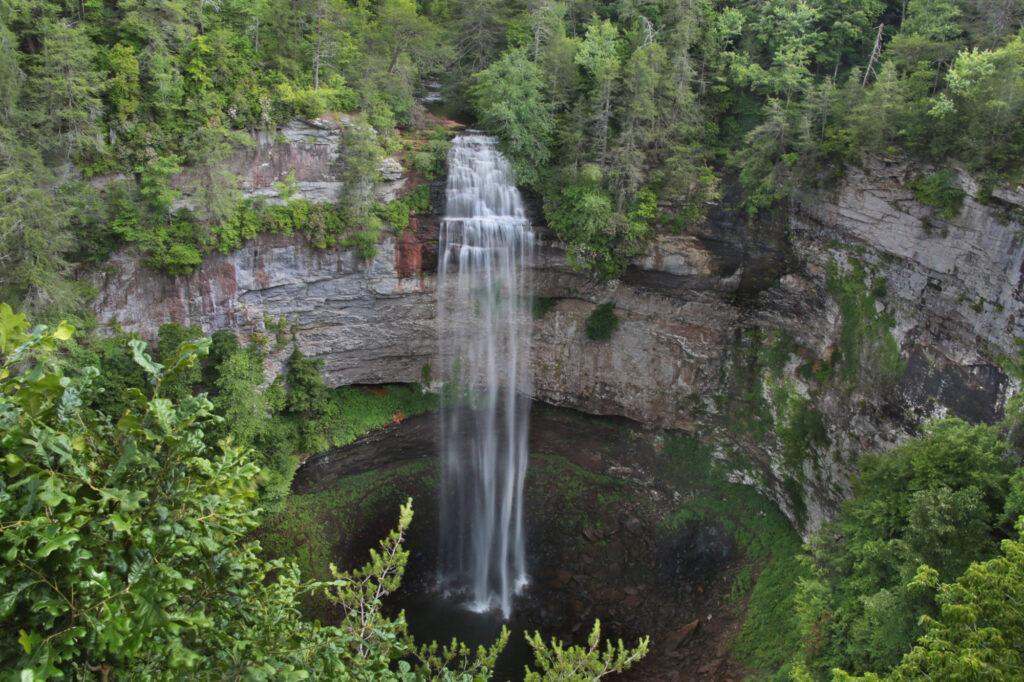
Fall Creek Falls (from the overlook)
Fall Creek Falls can be viewed from an overlook that is right off of the parking area, which gives you an excellent view of the waterfall.
If you want to go to the base of the falls, follow the orange blazes of the Base of Fall Creek Falls Trail. Please note that the sign at the beginning of the trail lists it as very strenuous. This trail is heads off from the overlook and continues for 0.4 miles downhill that will take you to the base of the falls, which means you have to return the same 0.4 miles uphill.
Cane Creek Cascades
To view Cane Creek Cascades, park at the Betty Dunn Nature Center and look for the wooden steps behind the building. Take the steps all the way to the bottom and you’ll be at an overlook for Cane Creek Cascades. The stairway is open at the side so you can climb out and venture closer to the waterfall.
When you exit there will be a short path right in front of you that will take you to the top of Cane Creek Cascade with an information sign that talks about the history of Cane Creek Cascades.
If you exit the steps and go down the rocky “path” right in front of the stairs it will take you to the base of Cane Creek Cascade. Little children and your four legged friends may need assistance getting down and back up to this popular swimming hole.
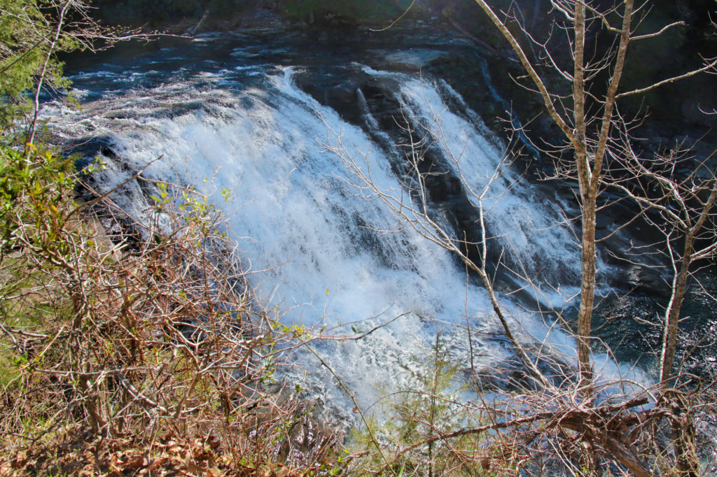
Cane Creek Falls Overlook
Cane Creek Falls is an 85 foot waterfall. It is right next to Rockhouse Falls and Cane Creek Cascades is accessible from the same parking area, which gives you three waterfalls at the same location. This is always a win in my books!
There are three different ways you can use to view this waterfall. The first is a roadside overlook, which doesn’t give the greatest view, but everyone can see it this way. Follow the wheelchair accessible pathway to the overlook next to the Betty Dunn Nature Center.
The second is from the Cable Trail, which will take you on a strenuous trek to the base. The round trip for this trail is 0.3 miles.
The third is the Gorge Trail, which you can access from the Woodland Trail. Get on the Woodland Trail and after you cross the swinging bridge, turn right at the first fork you come to (this is the Gorge Trail). This will bring you to an overlook for Rockhouse Falls and Cane Creek Falls after taking a short spur trail.
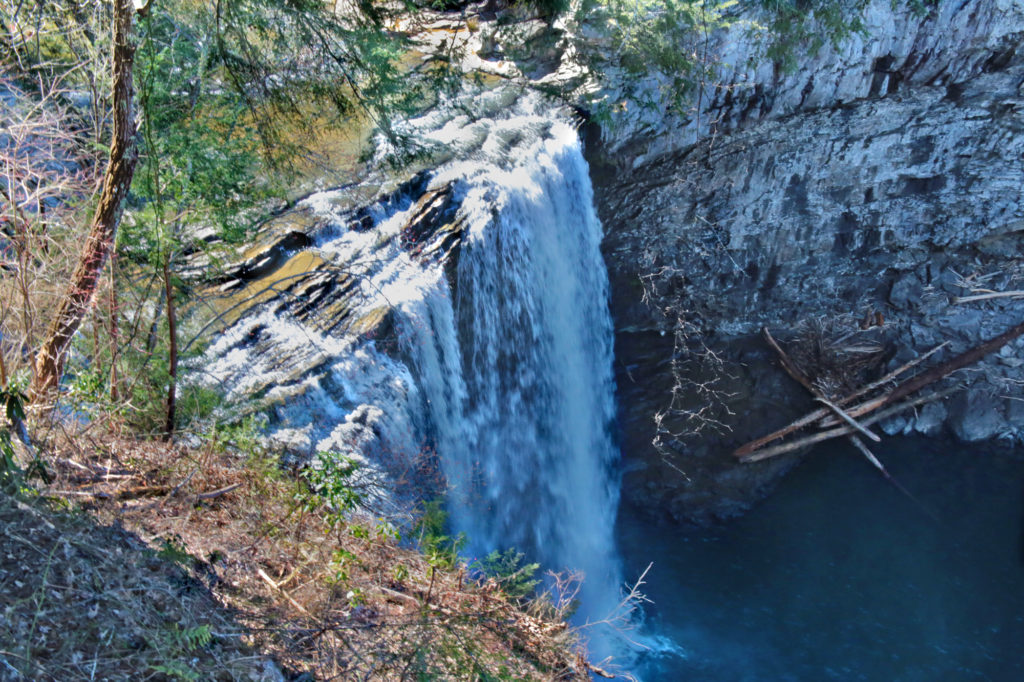
Rockhouse Falls Overlook
Rockhouse Falls is an impressive 125 feet waterfall located next to Cane Creek Falls.
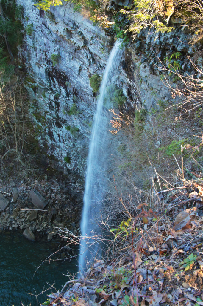
Piney Creek Falls
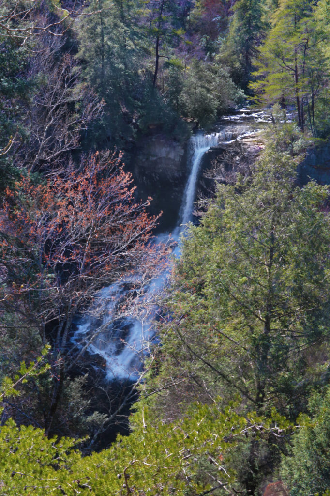
Piney Creek Falls is located inside Fall Creek Falls State Park. Piney Creek Falls is a pretty waterfall that is easily viewable from an overlook located just a few minutes away from the parking area. A short trail about 0.2 miles will take you to the overlook for Piney Creek Falls. There is some obstruction of the waterfall from trees surrounding it, but it is still very scenic and peaceful.
Leave a Reply