This waterfall 3-5 day trip includes 22 different waterfalls and is around 6.5 hours of drive time. Some of the sights do include fees, including Ruby Falls and Lover’s Leap/High Falls (located inside Rock City), so check ahead. Depending on how early you start each day and how close you stay to the next stop this trip could be longer than 5 days. Some of these areas are semi-isolated with not much food options around so I’d recommend snacks and/or picnic lunches.
Waterloo Falls
Waterloo Falls is a 35 foot waterfall located about 15 minutes north of Cookeville. One really great thing about Waterloo Falls is it is a twofer. You can access two waterfalls from the same parking area.
The top of Waterloo Falls is right next to the parking area. In fact, you can hear the waterfall as soon as you get out of your car. You cannot see Waterloo Falls from this parking lot. It is down below road level.
After you park your car, go to your right and you’ll see a path that will lead you to the top of Waterloo Falls. The unmaintained path runs along the side of the waterfall.
Waterloo Falls is on private property so if you want to go to the base, you’ll need to purchase a pass. Cost is $6 per individual or you can get a carpool pass for $24 which covers 4 or more. You can purchase passes at https://waterloovenueandevents.com/river-access/. The address to the base of Waterloo Falls is 145 Virgil Murphy Circle, Cookeville, TN 38506.
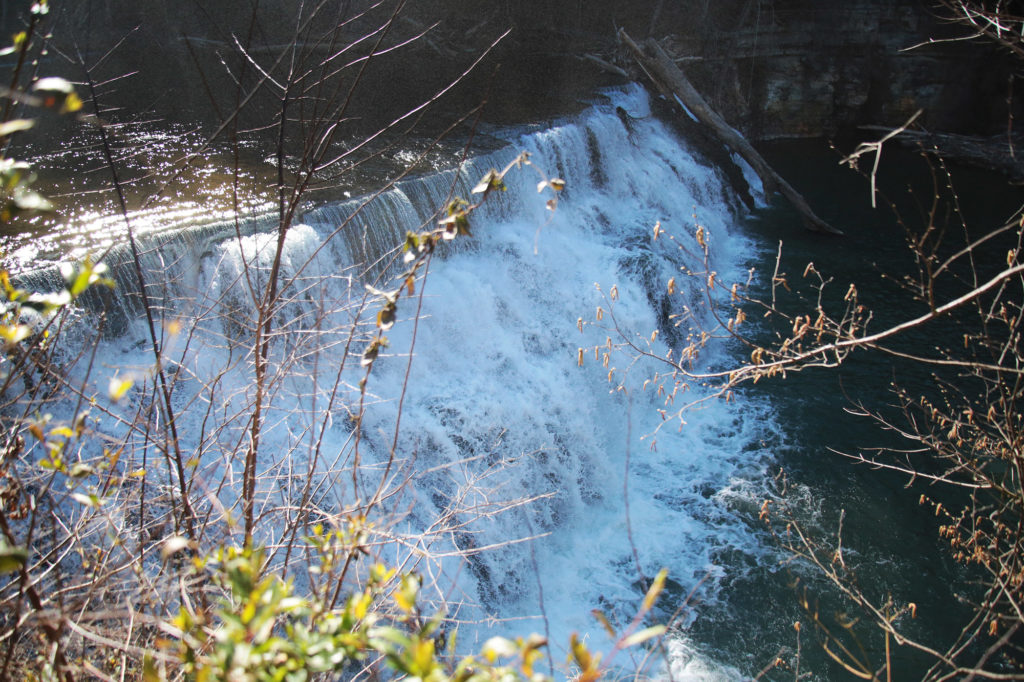
Upper Waterloo Falls
After you view Waterloo Falls from the upper parking area, go back up to the parking area and head toward the back of the parking area and head east on the dirt road, which follows Spring Creek. The road forks many times so always pick the way that is closest to the creek. This path will dead-end into Upper Waterloo Falls in about 0.25 miles.
At only 5 feet in height, it isn’t the most impressive waterfall, but it is quite pretty and peaceful. It is, however, really wide. There are also “angel wing” shells at the end of the path leading to the waterfall which my kids enjoyed finding.
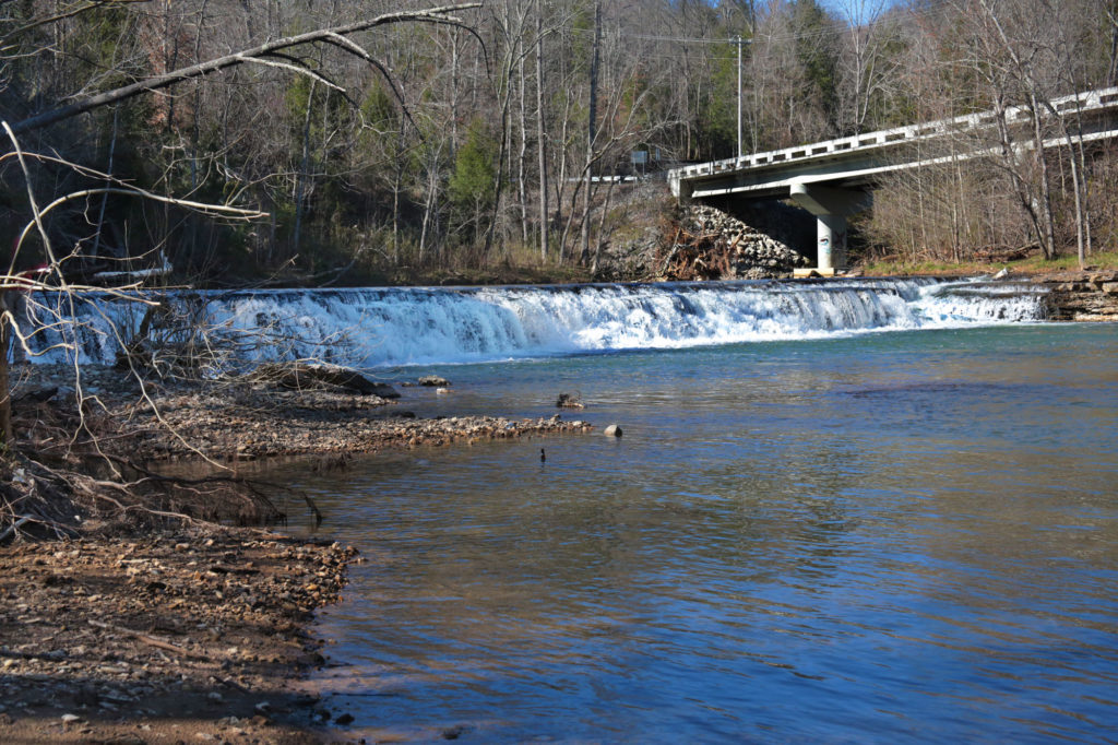
City Lake Falls
City Lake Falls is located inside the City Lake Natural Area in Cookeville. This park and the trail to the waterfall is family friendly. The hike to City Lake Falls is an easy 0.6 mile round trip. About half of the trail is paved and then turns to gravel. The trail dead ends into City Lake Falls.
The parking area is located next to a beautiful lake. You’ll see the trail that leads you to the waterfall toward the back of the parking area. While you’re there you may want to enjoy the lake, which is quite peaceful, or go fishing for catfish or bass.
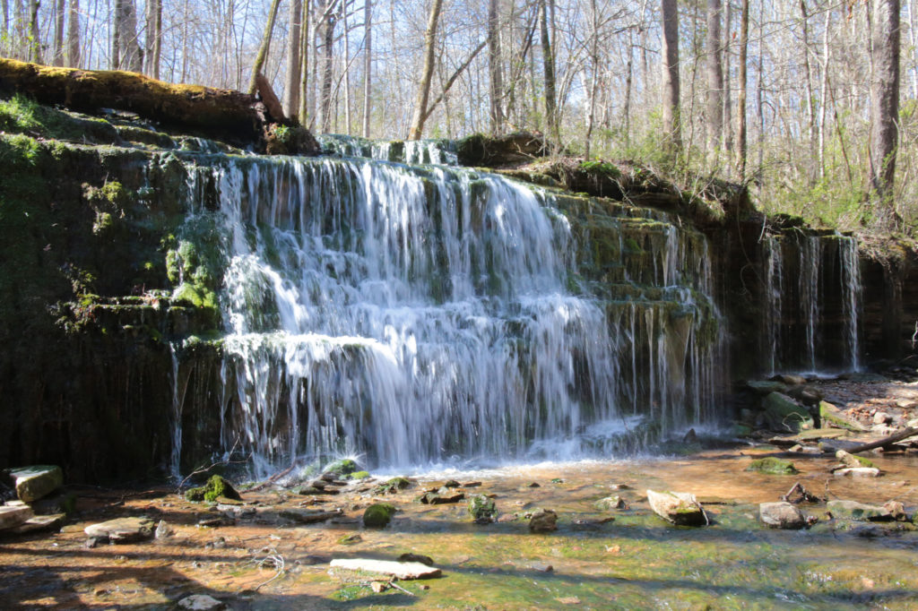
Burgess Falls State Park
Falling Water Cascades
Burgess Falls State Park is home to Falling Water Cascades and three other (Little/Upper Falls, Middle Falls and Burgess Falls) waterfalls on the same trail. Falling Water Cascades is the first you will come to on the trail. It is only a couple of feet from the parking lot.
From the parking lot, just follow the stairs and your ears straight down to the 20 foot Falling Water Cascades. While this waterfall alone is pretty, it probably wouldn’t be worth a trip just to see it. However, this is just the first of four on this trail and each one along the trail is more impressive than the previous.
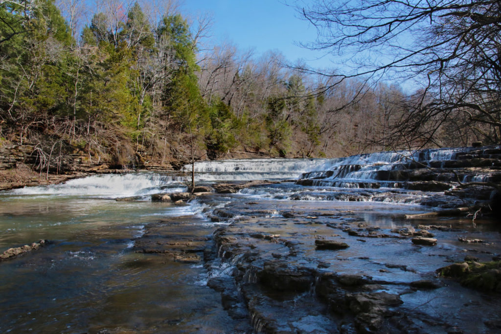
Little/Upper Falls
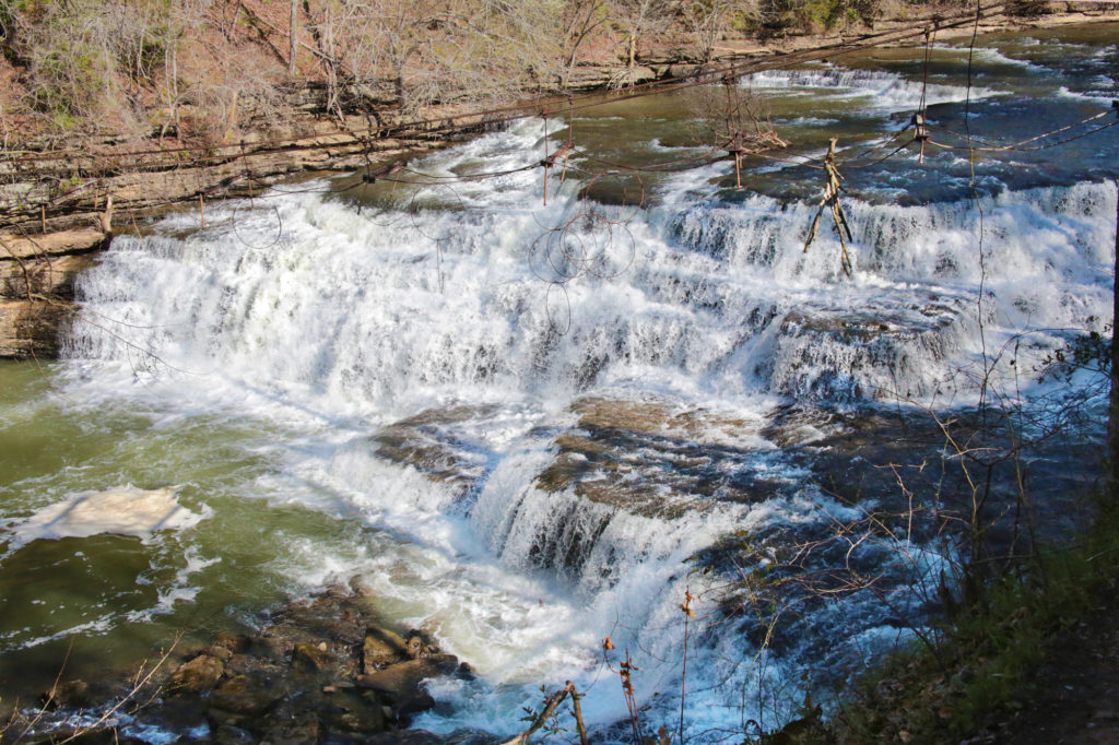
Little/Upper Falls is the second waterfall on the trail leading to Burgess Falls. It is 30 feet and very pretty.
After viewing Falling Water Cascades continue down the trail. The overlook for Upper Falls is right before you get to the large wooden bridge. However, I think the view just after you cross the bridge is better (at least in the Spring, when I visited).
Middle Falls
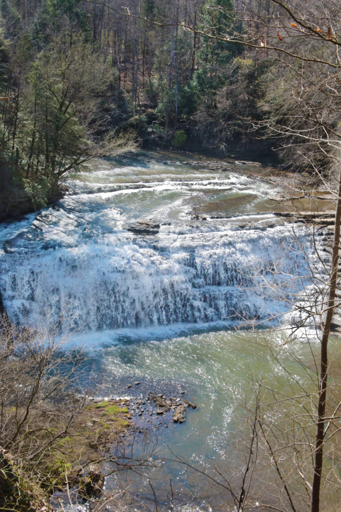
Middle Falls, at 80 feet in height, is Little/Upper Fall‘s big brother. A short distance after you pass Little/Upper Falls you’ll come to a steep staircase. Some of the steps were a little tall for my toddler to easily navigate, but with help he was able to manage them. There is a bench at the top of the stairs before you continue on to Middle Falls.
Burgess Falls
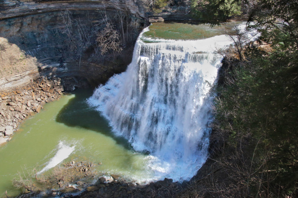
After viewing Middle Falls, be sure to continue down the trail to the 136 foot Burgess Falls, the main attraction. There will be a sign by Middle Falls, pointing the direction to Burgess Falls. Continue to follow the trail to the Burgess Falls overlook.
The staircase to take you down to the base of the falls was closed during our visit. According to the park website, the staircase will remain closed until further notice. This was the portion of the trail that is strenuous.
To return to your car you may either go back the way you came or you may return using a access road that is an easy, level path that runs above the trail you took to get to Burgess Falls. It is a much easier path as you don’t have to climb down the steep staircase.
Lost Creek Falls
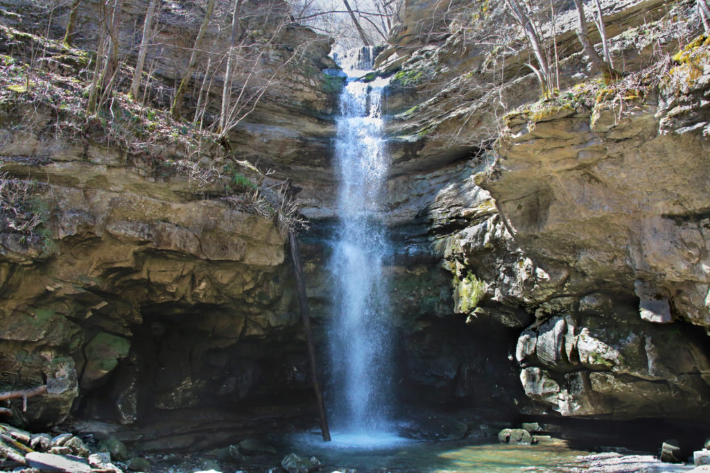
Lost Creek Falls is a 40 foot waterfall that flows directly into a sinkhole located inside Lost Creek State Natural Area. Lost Creek begins from large spring, drops over the falls, and then disappears underground. In 1993 Disney filmed scenes for their live action version of “The Jungle Book” here, using both the waterfall and cave entrance.
Lost Creek Falls is only a 0.2 mile out and back hike from the parking area. The waterfall can be reached by walking down stairs that lead to a short blue blazed trail to the base of the waterfall.
Fall Creek Falls State Park
Cane Creek Falls
Cane Creek Falls is an 85 foot waterfall, located right next to Rockhouse Falls, which gives you two waterfalls at the same location. This is always a win in my books!
There are four different ways you can use to view this waterfall. The first is a roadside overlook. The second is if you walk from the overlook toward the nature center you will see a set of stairs going down before you reach the swinging bridge. The third is the Gorge Trail, which you can access from the Woodland Trail. Get on the Woodland Trail and after you cross the swinging bridge, turn right at the first fork you come to (this is the Gorge Trail). This will bring you to an overlook for Cane Creek Falls and Rockhouse Falls after taking a short spur trail. The fourth is from the Cable Trail, which will take you to the base.
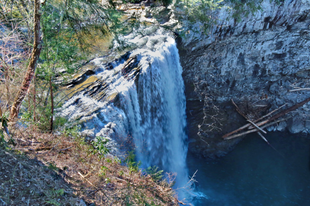
Rockhouse Falls
Rockhouse Falls is an impressive 125 feet waterfall. It is right next to Cane Creek Falls, to view Rockhouse Falls you would follow the same instructions as for Cane Creek as they are right next to each other.
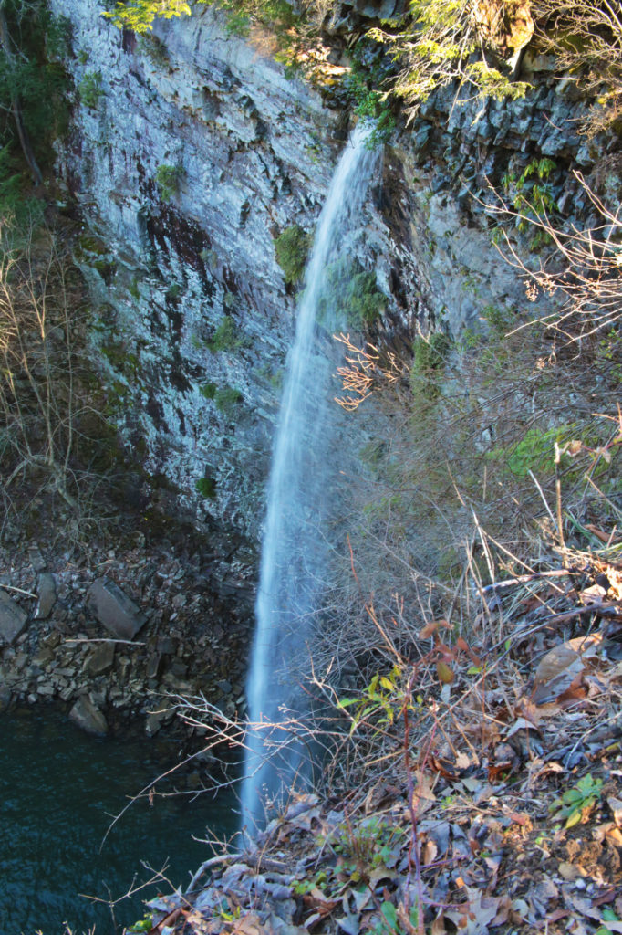
Cane Creek Cascades
From Betty Dunn Nature Center parking lot take the wooden steps behind the building all the way to the bottom and you’ll be at an overlook for Cane Creek Cascades. The stairway is open at the side so you can climb out and venture closer to the waterfall. When you exit, there will be a short path right in front of you that will take you to the top of Cane Creek Cascade.
If you exit the steps and go down the rocky “path” right in front of the stairs it will take you to the base of Cane Creek Cascade, a popular swimming hole.
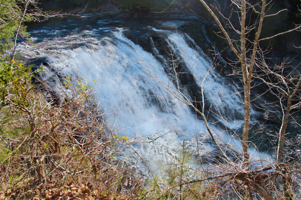
Fall Creek Falls
There is an overlook that you can view Fall Creek Falls that is right off of the parking area, which gives you an excellent view of the waterfall.
If you want to go to the base of the falls, follow the orange blazes of the Base of Fall Creek Falls Trail. This trail is heads off from the overlook and continues for a half mile downhill that will take you to the base of the falls.
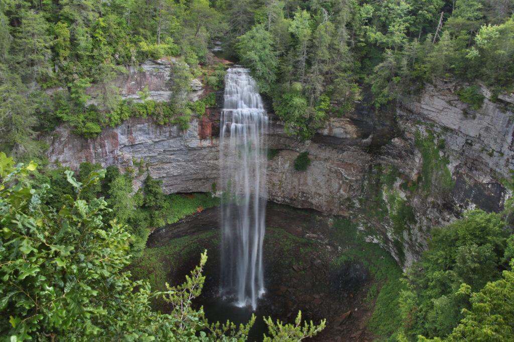
Piney Creek
Piney Creek Falls is a pretty waterfall that is easily viewable from an overlook located just a few minutes away from the parking area. A short trail about 0.2 miles will take you to the overlook for Piney Creek Falls. There is some obstruction of the waterfall from trees surrounding it, but it is still very scenic and peaceful.
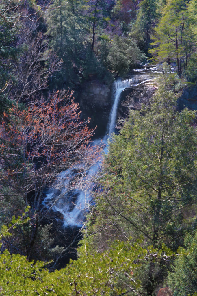
Upper and Lower Greeter Falls
The Greeter Falls Trail will actually take you to several waterfalls if you include its spur trails – Blue Hole Falls, Boardtree Falls, Upper Greeter Falls and Lower Greeter Falls. Most of the Greeter Falls Trail is easy, but there are parts that are a little more difficult, giving it a moderate rating. Each waterfall uses a one-way spur trail to reach the waterfall, you go down each one to the waterfall and then return to the main trail to continue on. These waterfalls are best visited after a good rain, during a dry season, Boardtree can completely dry up and Upper and Lower Greeter Falls can become a trickle.
At 0.3 miles, Greeter Falls Loop begins. Go right toward the sign leading to Greeter Falls. As you turn right, the trail leaves the old roadbed and immediately becomes rocky and drops down along large overhanging bluffs. Shortly you will reach a junction with the spur trails to Upper and Lower Greeter Falls at 0.4 miles. Immediately, as you turn right onto the spur trail, it forks again.
If you take the spur trail to the left you will reach Lower Greeter Falls. This trail uses a tight metal spiral staircase with narrow stairs followed by wooden steps that descend to reach the waterfall at 0.5 miles.
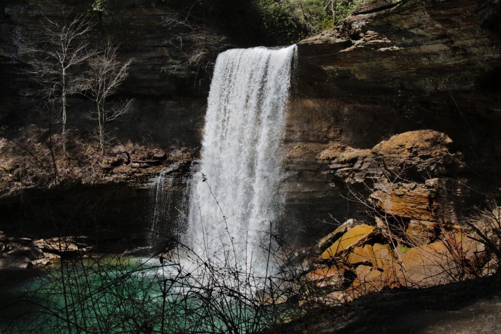
Once you have seen Lower Greeter Falls return to the Greeter Falls spur and go to the right to see Upper Greeter Falls after a short walk.
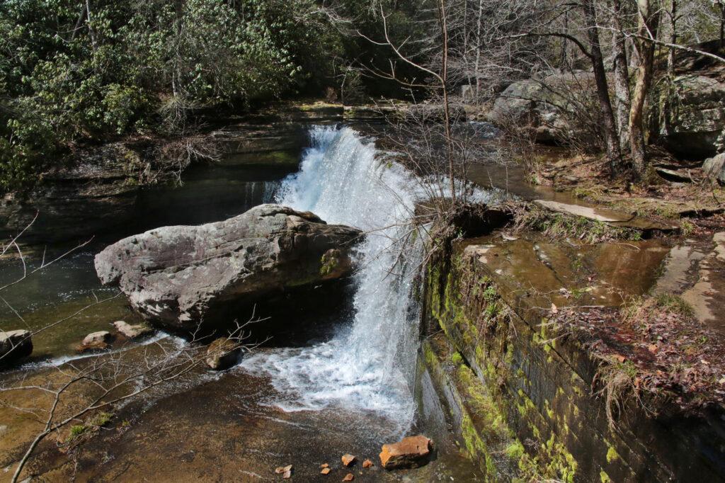
Boardtree Falls
After viewing Upper Greeter Falls, return to Greeter Falls Loop at 0.7 miles. Continue to the right for another 0.3 miles and you will pass Boardtree Falls in a ravine on your right. Just past Boardtree Falls, keep following the Greeter Trail to the right and cross over a suspension bridge. The trail climbs steps to the right and soon rejoins the trail you started on, with just 0.3 miles to go to reach the parking lot.
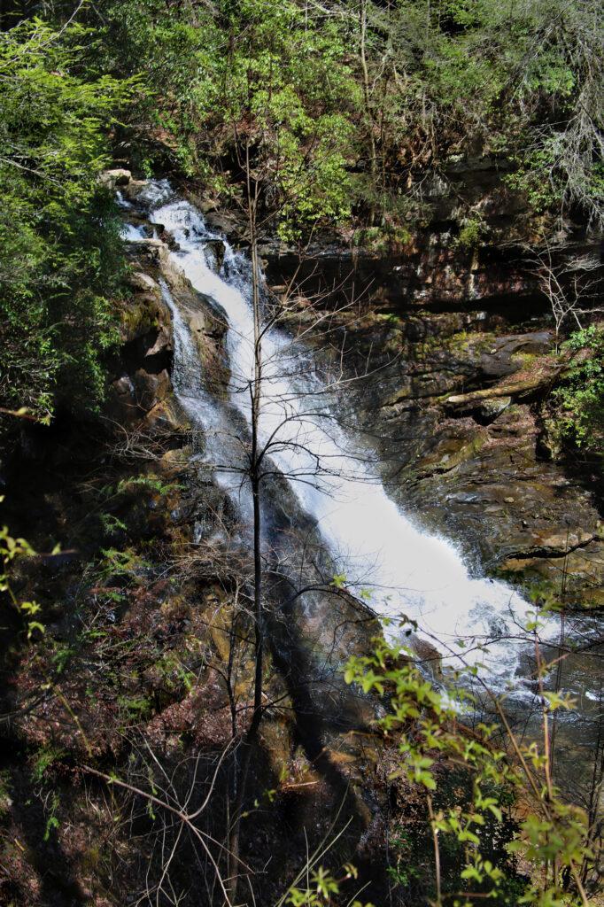
Ruby Falls
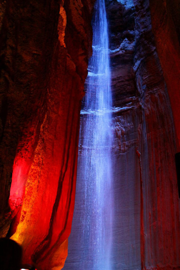
Ruby Falls and caverns, located over 1,120 feet underground, is one of my all time favorites. It’s so unique and beautiful. Although it does cost to get in, it is worth every penny.
You enter the cavern and are guided through incredible rock formations. Some of the rock formations are lit in different colors, which I’ve not seen done in other caverns before.
The path ends at Ruby Falls itself – a 145 foot underground waterfall. It is America’s deepest commercial cave and largest underground waterfall. Ruby Falls is lit by full color LED lights that change colors making this impressive waterfall truly spectacular and one of a kind!
Lover’s Leap/High Falls
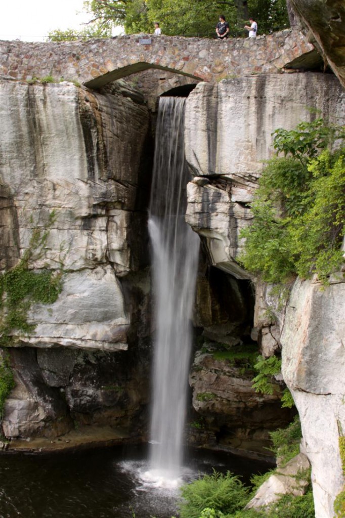
Love this waterfall! It is inside Rock City, however you can view the falls without going to Rock City. This being said, I still highly recommend going to Rock City as there is so much to do there including nature trails, and caves with stories told in miniature models.
High Falls is 140 feet in height. The trail to the waterfall is easy to get to and is stroller and wheelchair accessible, making this waterfall enjoyable by all.
Please note: the bridge to access Bald River Falls is currently closed for renovation. It is scheduled to reopen at the middle/end of May 2025. All waterfalls after this point are also currently not able to be viewed as they are off of the same road.
Bald River Falls
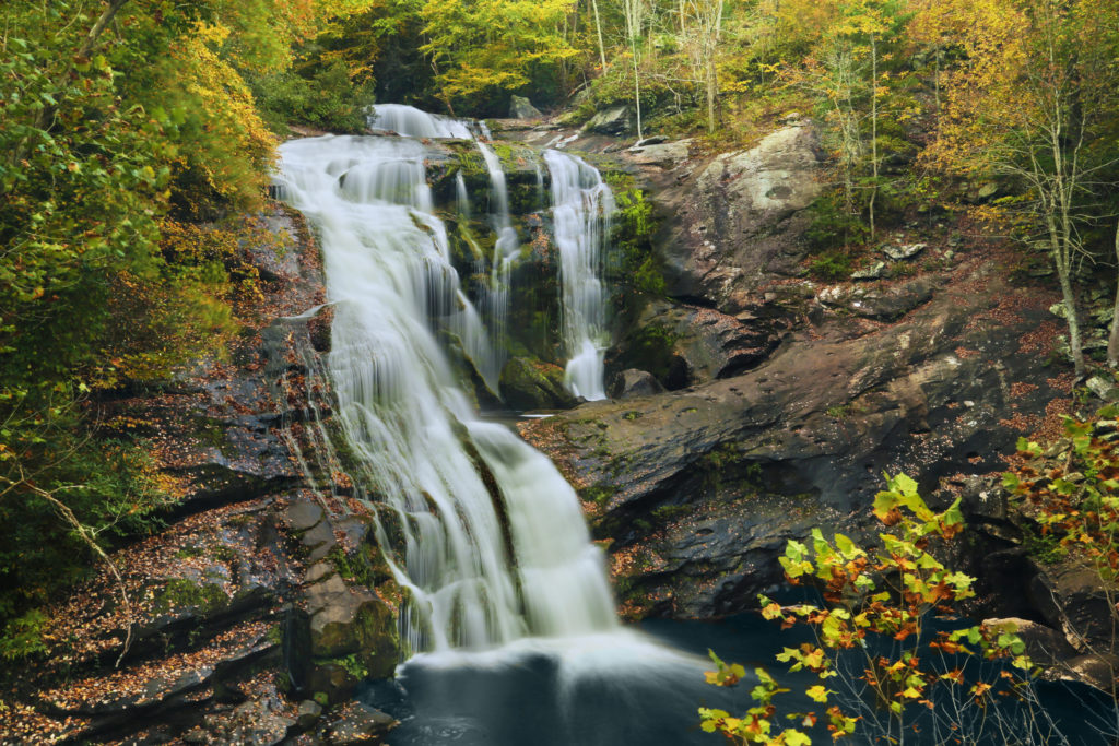
Bald River Falls is beautiful 90 foot waterfall and best of all – is roadside. Bald River Falls is located in the Unicoi Range of mountains near the Tennessee/North Carolina state line. The falls are easily visible from a bridge across the river. There is also a short, easy trail at the end of the parking lot that will take you to the top of Bald River Falls.
Kahuna Falls
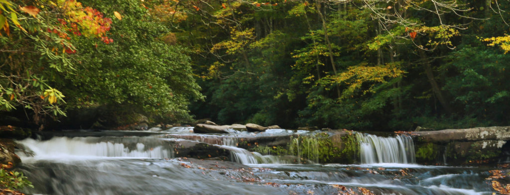
After viewing the amazing Bald River Falls, go to the upper end of the parking lot, where you will find a trail that leads up to the top of Bald River Falls. You can just see Kahuna Falls from the overlook, just above the top of Bald River Falls. Continue up the trail for a short distance and you will come to Kahuna Falls.
Baby Falls
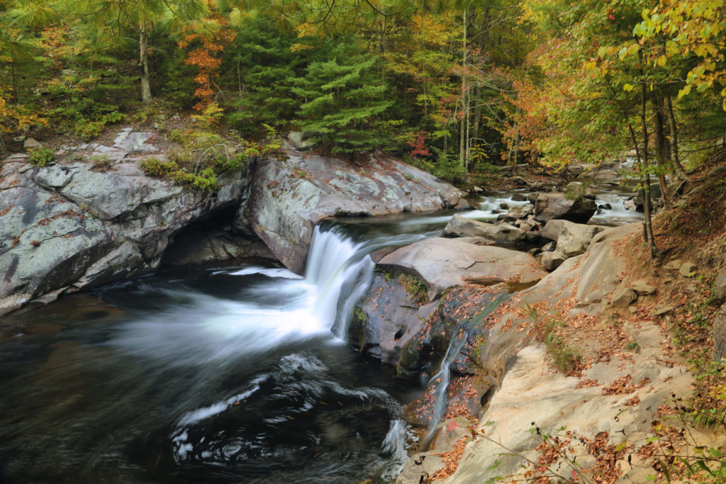
Once you visit Bald River Falls and then continue down the road about 0.5 miles to view Baby Falls. Baby Falls is easily visible from the road. There is a pull off not far from Baby Falls. Just park in the pull off and walk the short distance to Baby Falls.
This trip, unlike some of our others, is quite easy to divide up into days – Cookeville, Sparta, Savage Gulf, Chattanooga and Tellico Plains. While in the Tellico Plains area if you have extra time, we’d recommend that you check out the Cherohala Skyway.
Leave a Reply