Looking for easy waterfall hikes in Tennessee? Well, you’ve come to the right place! We’ll be including easy, roadside and wheelchair accessible trails and even break them down into areas to make finding waterfalls in your area a piece of cake.
Because there are so many easy waterfall hikes in Tennessee, as well as the size of the state, we’ve had to break them down into three different pages to make it easier to find for you.
In this post, we will focus on the northeast corner of Tennessee and near the Blue Ridge Parkway. We’ve broken each waterfall down by nearby cities, so you can know if it’s the right area for you to visit. Some of these are included in some of our different waterfall day trips, or you can make your own from what you see here.
We also have a page for East Central part of Tennessee including the areas around Wartburg, Crossville, Cookeville, Sparta, and Spencer. Another page covers Southeast Tennessee including the areas around the cities of Manchester, Chattanooga, and Tellico Springs.
Please note: Each waterfall has a link to a separate page detailing directions, trail description and additional information.
Bristol area
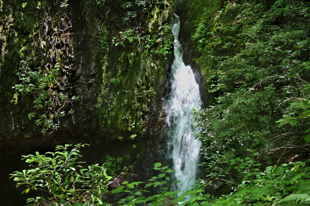
Backbone Falls
Backbone Falls – Backbone Falls is an easy hike to a pretty 45 foot waterfall located in Backbone Falls Recreation Area (in Shady Valley near Bristol). The trail is a loop trail, however I recommend that you hike it as an out and back trail. Go to the far right of the parking lot without climbing the stairs leading to the beginning of the trail. You’ll see a walkway right next to the road separated by a fence. Take this walkway. It will dead end into the trail. Climb the stairs and you’ll see a sign (Caution Steep Trail With Uneven Footings and Sharp Dropoffs). Keep climbing the stairs until you reach Backbone Falls on your left. It’s about 0.1 miles.
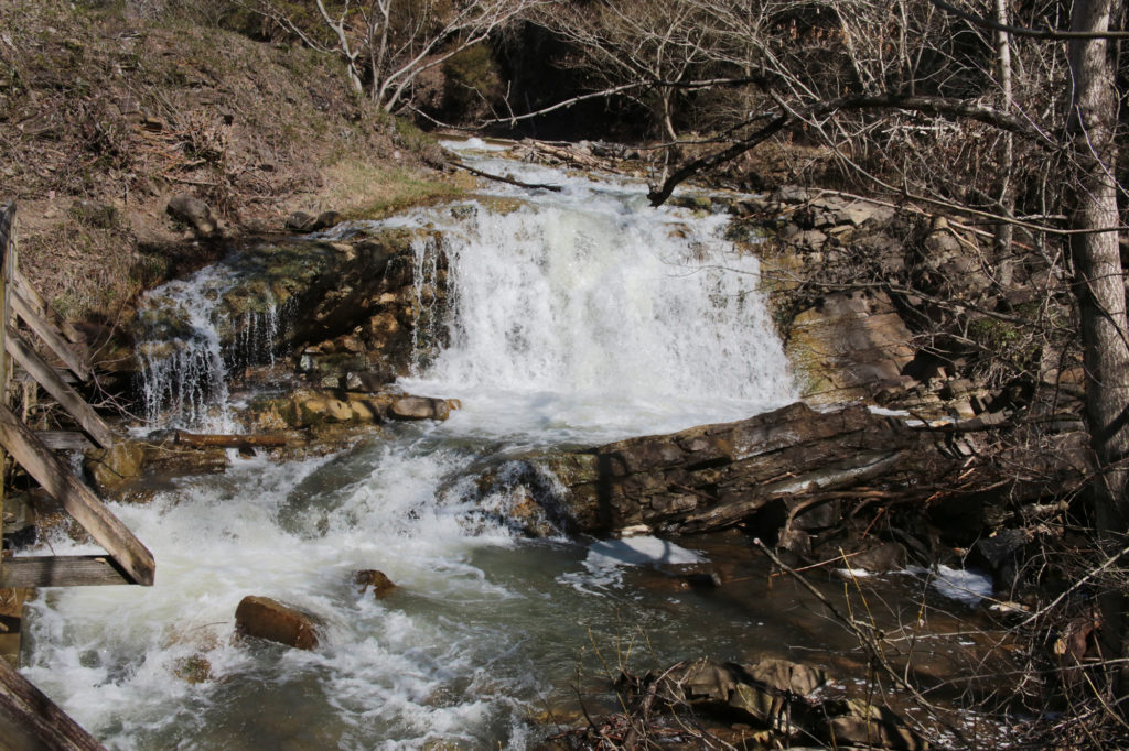
Steele Creek Park Falls/Rooster Front Falls
Park in the parking area for Rooster Front Park, located in Bristol, Tennessee. Take the walkway by the pavilion. You’ll come to a sign by a bridge. Don’t cross this bridge. Instead continue on the Lakeside Trail. A short distance away you will come to a second bridge on your left. Cross at this bridge. Shortly after you will pass the wetlands on your left. Continue on the trail for another 0.15 miles and you will come to a bridge by the waterfall.
Elizabethton
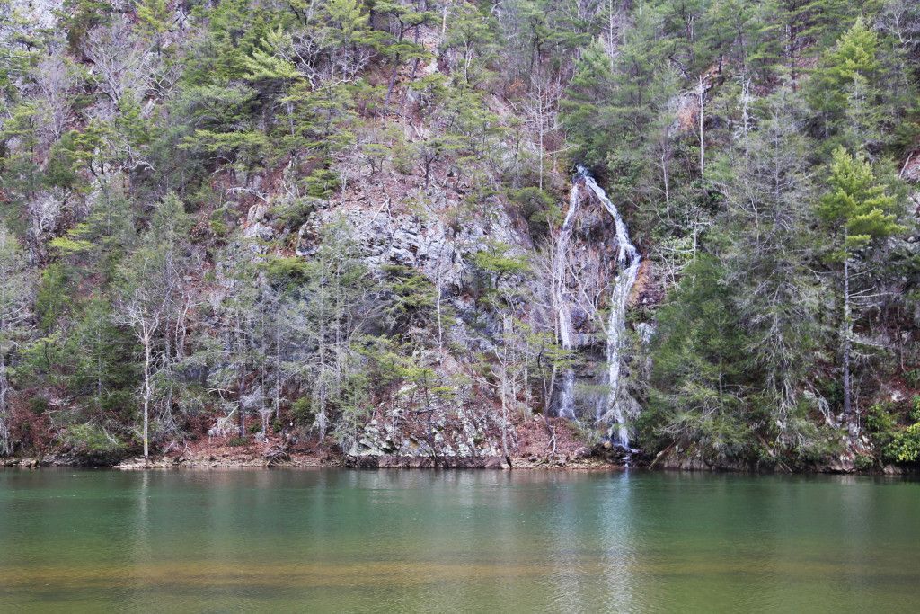
Little Laurel Branch Falls
Little Laurel Branch Falls is 50 foot waterfall that empties into Wilbur Lake. It is located near Elizabethton, TN in Carter County between Wilbur Dam and Watauga Dam. While not the most impressive waterfall, it is scenic and serene, and you can sit and have a picnic lunch while watching the waterfall, or go birding if you prefer.
Kingsport
Bays Mountain Falls
Bays Mountain Falls is a pretty roadside waterfall on private property, however there is a public viewing area. There is a parking space directly in front of the waterfall. A fence marks the boundary, so you will know how close you can get. Don’t confuse this waterfall with Dolan Branch Falls, which is located in Bays Mountain Park. If you are up for hiking a moderate trail, be sure to visit Laurel Run Falls, which is just a few minutes away and well worth the extra stop.
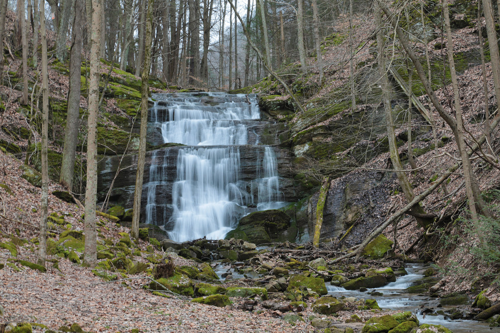
Dolan Branch Falls
Dolan Branch Falls is a pretty 20 foot waterfall located inside Bays Mountain Park, in Kingsport, Tennessee. You’ll need to park in the parking lot closest to the main road entering into the park, close to the dam. The trail entrance for Dolan Branch Falls is located across the street from the dam. Please note that Dolan Branch Falls is a dam fed waterfall, so if the dam isn’t releasing flowing then Dolan Branch Falls will have no water. There is also a $7 per car entrance fee into Bays Mountain Park.
Erwin
Sill Branch Falls
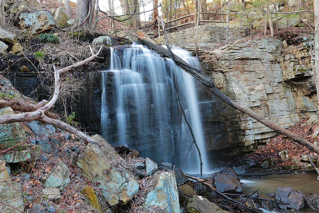
Sill Branch Falls is located in the Clark’s Creek area of the Cherokee National Forest in Erwin, Tennessee. The parking area is opposite of the trailhead. The trailhead has a signpost and is blazed with blue triangles (going toward the waterfall) or rectangles (returning to the parking area).
This beautiful 20 foot waterfall starts out with a fairly easy out and back hike with just a tiny incline over slightly rocky terrain with a few roots along the way. When the trail forks, make sure you go to the left and you’ll immediately cross a small stream. You’ll see a steep incline on the other side of the stream. There are several places off to the side that go down to the creek, so make sure you don’t turn off too early. Continue up this steep section of the trail and you’ll soon arrive at the waterfall.
Pine Ridge Falls
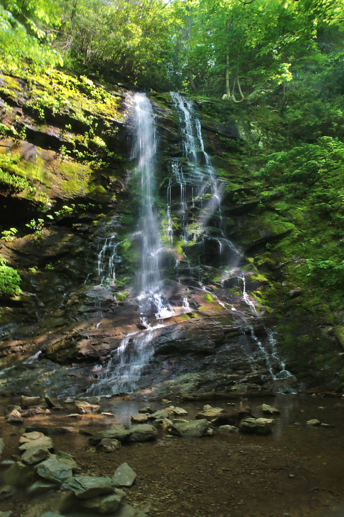
Pine Ridge Falls is a 25 foot waterfall, is also located in the Clark’s Creek area of the Cherokee National Forest. The parking area is 0.2 miles away. The trail to Pine Ridge Falls is an easy one mile round trip and is well maintained. There is one creek crossing that can be tricky when the water’s high.
Follow the Longarm Branch Trail at the beginning to reach Pine Ridge Falls. You should see the trail sign from the parking area. Take the Longarm Branch Trail and just after you cross the stream the trail forks. Longarm Branch Trail continues right. But you’ll want to take the path to the left to get to Pine Ridge Falls. This will bring you to the base of the waterfall or you can continue up to the top part of the waterfall.
Millstone Creek Falls
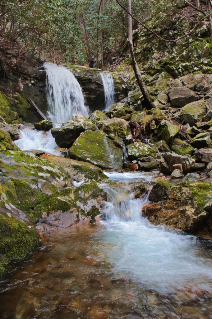
Millstone Creek Falls is located on private property on the western side of Buffalo Mountain in Washington County, but the owners give permission so long as visitors respect the property and don’t litter. I would rate it an easy/moderate depending on the trail conditions.
The trailhead to this 30 foot waterfall is located just across the road from a pull off. The hike is only 150 yards. The trail goes upward from the entrance and there are some roots growing in the trail. It’s not difficult in dry weather, but can be a little slick if it has rained recently so you may want to bring a hiking stick to help on one part at the beginning/end. The waterfall is nestled in between two cliffs. You will go back the way you came.
Lower Spivey Falls
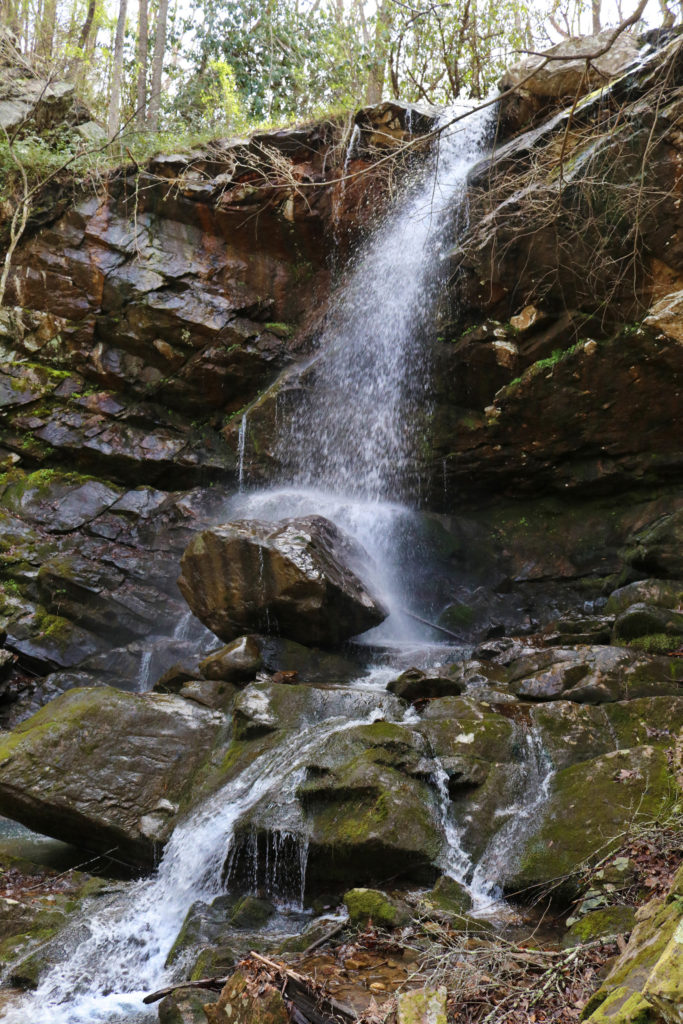
Lower Spivey Falls is a pretty, 50 foot waterfall located on private property in Erwin, Tennessee. Lower Spivey Falls is part of a series of four large waterfalls, all of which are privately owned. There is a parking space right in front of the waterfall, which can be seen at a distance. There is a gate between the parking space and the waterfall. Visitors are not allowed beyond the gate. Even from this distance, the waterfall is impressive and unique.
If you have time, you should check out Big Creek Falls. If you continue on Spivey Mountain Road (19W) just a little bit longer, you will enter North Carolina. Big Creek Falls is located right next to 19W on the right side of the road.
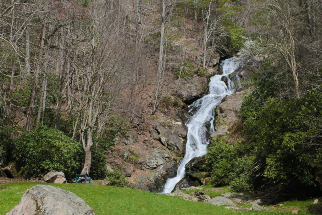
Greeneville
Kelly Falls
Kelly Falls is located in the Paint Creek Corridor of the Cherokee National Forest, in Greeneville, Tennessee. The 15 foot waterfall is located 0.6 miles from the three way fork in the road at the entrance to Paint Creek Campground. Take the paved road down to the right. The waterfall will be on your left side about 0.6 miles.
Kelly Falls is located below road level so you’ll probably want a passenger with you to be on the lookout for it so you don’t zoom right past it. Once you see the waterfall, pass it and park at a pull off on the right. If you reach Dudley Falls (a nearby waterfall which has it’s own parking lot), then you missed it. While you can see the waterfall from the top of the road there is a short, slightly steep trail that will take you to another view of the waterfall right by the road.
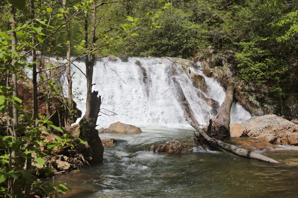
Dudley Falls
Dudley Falls is located just two miles past Kelly Falls. This 15 foot roadside waterfall has its own parking area. From the intersection of Rollins Chapel Road and Lower Paint Creek Road, travel just 0.8 miles on Lower Paint Creek Road and you’ll reach parking area. Many of the locals use this waterfall as a swimming hole.
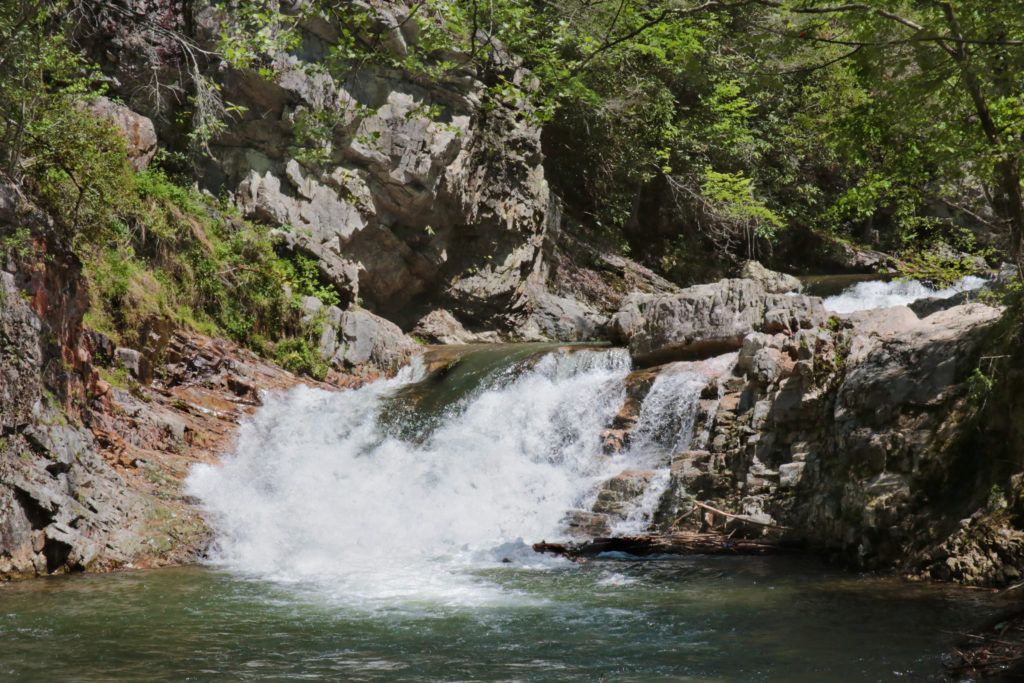
Rogersville
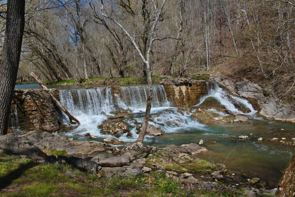
Big Creek Dam and Waterfall (located at Amis Mill)
Big Creek Dam is the oldest stone dam in the State of Tennessee, constructed in 1781. Big Creek Dam and waterfall are located right by the side of the road on the Thomas Amis Historic Site in Rogersville, Hawkins County, Tennessee. The dam is located across the road from Amis Mill Eatery, a favorite local restaurant.
Sneedville
Elrod Falls
Elrod Falls is a beautiful three stage waterfall located about 10 minutes from the town of Sneedville in Hancock County. The trail to Elrod Falls is a five minute walk to the base of the waterfall. Just in front of the waterfall is a swimming hole frequented by the locals.
Smoky Mountains National Park
Great Smoky Mountains National Park does not charge an entrance fee. However, parking tags are required for all vehicles parking park anywhere within the boundaries of the Smokies for longer than 15 minutes. Information about parking tags are available here: https://www.nps.gov/grsm/planyourvisit/fees.htm .
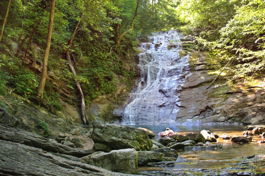
Laurel Falls
Laurel Falls is an extremely popular destination within Great Smoky Mountains National Park due to the fact that it has a paved trail leading up to it. Please note, that while this trail is paved it is not easily traveled by strollers or wheelchairs. There are many sections that have large cracks or gaps that are unpaved. The hike to Laurel Falls and back is 2.6 miles round trip. Hikers will climb roughly 314 feet in elevation before arriving at the 80-foot waterfall. I would rate this trail easy for your average hikers and moderate for those who are new to hiking or hike infrequently.
Note: Laurel Falls Trail is closed as of Jan. 6, 2025 for 18 months of rehabilitation work.
Place of a Thousand Drips
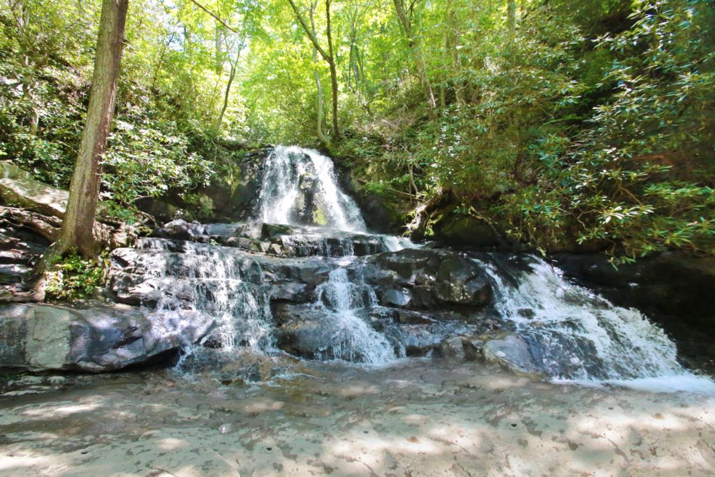
The Place of a Thousand Drips is a low flow waterfall that can be seen from your vehicle. It’s name is quite fitting. After a good rain it can be quite dramatic as the flow of water splits into many small bands of water cascading around the rocks and creates a “thousand drips”, however if there hasn’t been a good rain recently it is reduced to trickles of water and you’ll drive right past it without even knowing it was there (even when you are looking for it). The Place of a Thousand Drips starts at the top with high rocks and a small cave and cascades down 30 feet.
The waterfall is located on the Roaring Fork Nature Motor Trail at the very end, near post #15. The road is a one-way, winding road that travels about 6 miles through spectacular scenery that you can see from the comfort of your car.
Cataract Falls
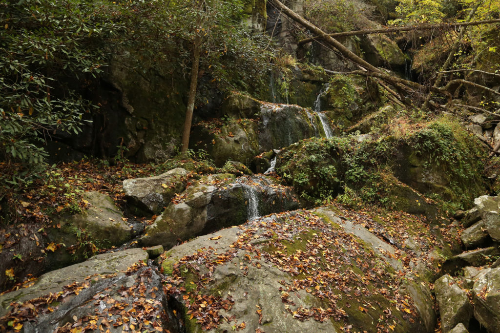
Cataract Falls is an easy, family friendly trail that is perfect for a beginning hiker taking about 15 minutes to hike to the base of the waterfall. The out and back trail is located behind the Sugarlands Visitor Center. Look for a paved walkway next to the bathrooms and follow the paved walkway to a sign. Turn left to take the trail to Cataract Falls. Cross Ash Hopper Branch and then the trail will switch to the other direction briefly and soon the small creek will merge with the larger Fighting Creek. The trail follows the creek underneath a road bridge and then goes up a small flight of stairs. At this point you are about a tenth of a mile from the falls. Take the trail straight to the base of the waterfall.
You can also reach Cataract Falls by going straight when you reach the first sign, just after the restrooms (right at the beginning). If you have a stroller with you, or do not want to climb stairs go straight. Keep going straight on the sidewalk until you come to a parking lot. Cross the parking lot and you will come to a street. Turn left onto the street, cross the bridge and look for the path on the opposite side of the road (just after the bridge). Once you see the path, cross the street and take the trail straight to Cataract Falls.
Mannis Branch Falls
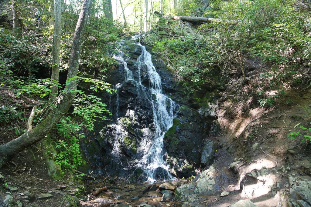
From what we were able to see, Mannis Branch Falls is quite scenic. Unfortunately when we went to see the waterfall (in the late Spring, early Summer) it was mostly hidden behind the trees. In our photos you really can only see the bottom of the waterfall. The top part is almost completely blocked from view.
It looks to be between 25-35 feet in height and flows into Little River inside the Great Smoky Mountains National Park.
Just a short distance away from Elkmont Campground there will be a paved pulloff for you to park at. Look for a fisherman’s trail about 50 yards away from the parking area and make your way down the trail to Little River. Across Little River you should see Mannis Branch Falls. Do NOT wade into the water or try to cross Little River. There is a strong current here and it is extremely dangerous.
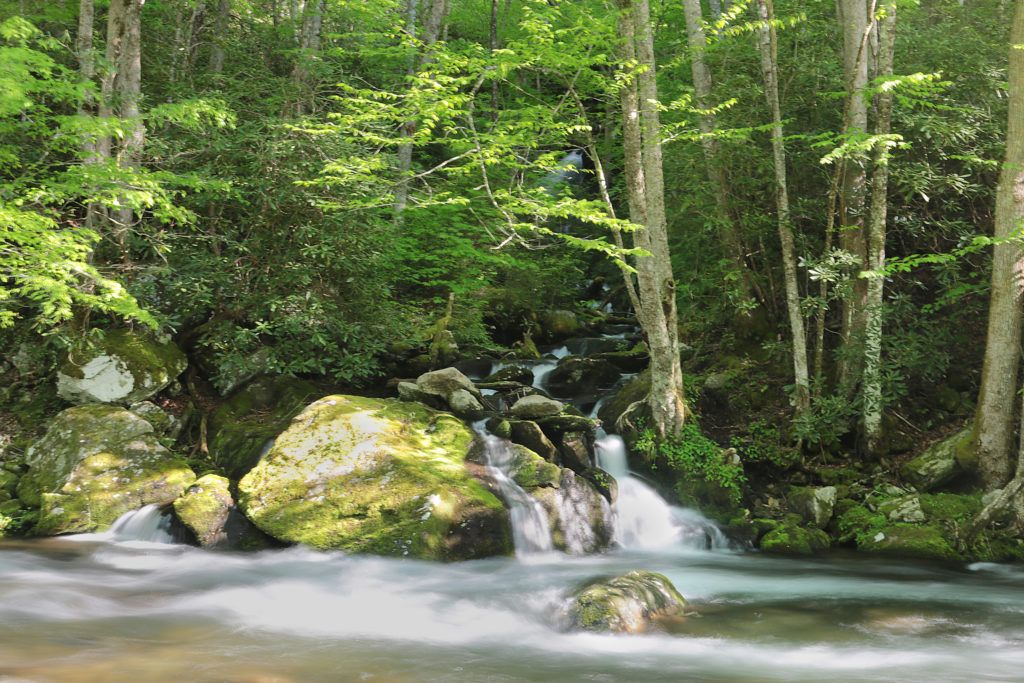
The Sinks
The Sinks is a pretty waterfall that is very easy to access. It is a small waterfall that includes the entire flow of Little River. You can walk right up to a close-up overlook to the waterfall right from the parking lot. Swimming near The Sinks can be dangerous and is not recommended by the Park.
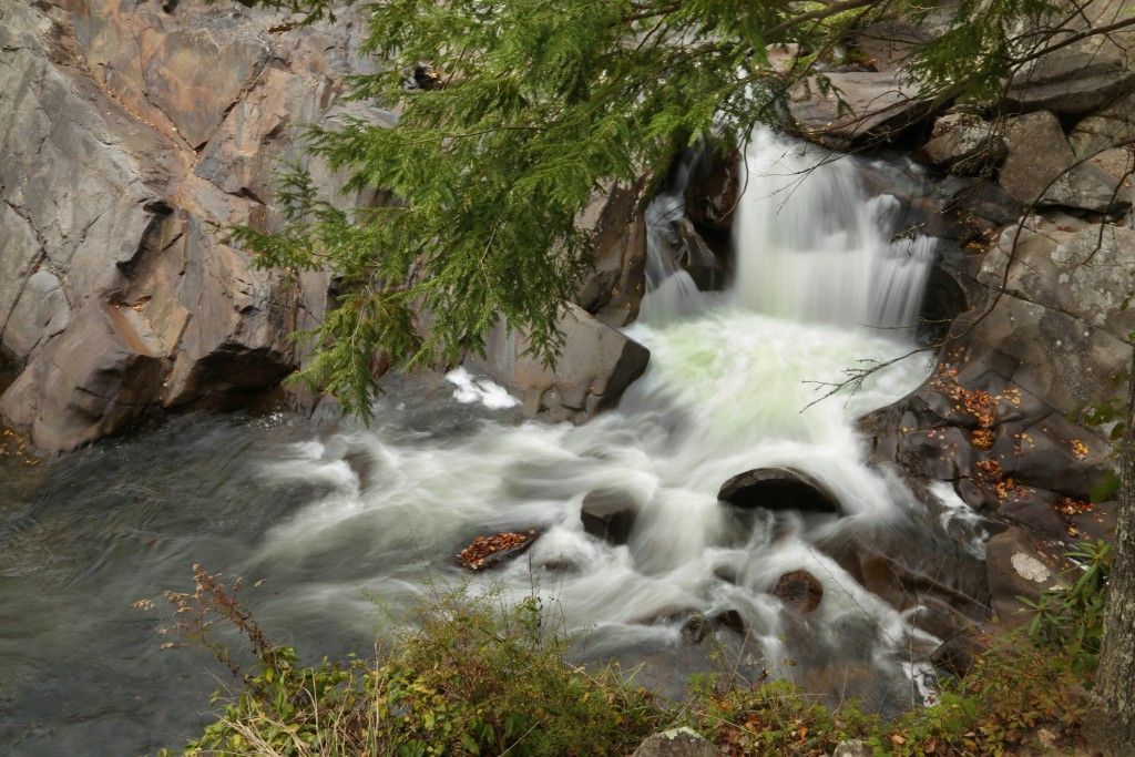
Meigs Falls
Meigs Falls is a 30 foot waterfall that can be seen from a pull-off on Little River Road between Cades Cove and Sugarlands Visitor Center. The view is partially obstructed by trees in the summertime; otherwise the view is good, if not great.
The best thing about this waterfall is that you can literally sit in your car and look at it. The downside is that it is far away, requiring a telephoto lens to photograph the waterfall and actually be able to see it in the photo later and realize that there was a waterfall.

Meadow Branch Cascades
Meadow Branch Cascades is located near Cades Cove, just inside the Townsend entrance to the Great Smoky Mountains National Park. The road becomes Old State Highway 73. Old State Highway 73 turns right and becomes Laurel Creek Road. Meadow Branch Cascades is located on the right side of the road a few hundred yards before you reach the tunnel. You are able to view the waterfall from the side of the road. However, there is no parking by the waterfall so you’ll need to pass the waterfall and park about 1/4 mile further along Laurel Creek Road near the tunnel and then walk back following the West Prong Little River.
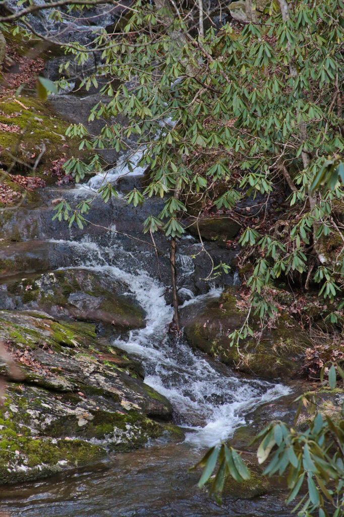
Cane Creek Twin Falls
The Cane Creek Twin Falls are located across Little River about two and a half miles east of the Townsend Wye, just inside the Townsend entrance to the Great Smoky Mountains National Park. The waterfalls are below road level, but you can see them from the parking area. There is a small parallel parking area located on the side closest to the river on Little River Gorge Road right at the waterfalls.
The Twin Falls aren’t readily visible through the leaves most of the year. However, what these falls lack in water volume, they make up for in being a great swimming hole. Since there is only enough parking for 2-3 cars, it doesn’t get too busy (unlike the Townsend Wye, which is located just down the road). You can view Cane Creek Twin Falls from the parking pull off.
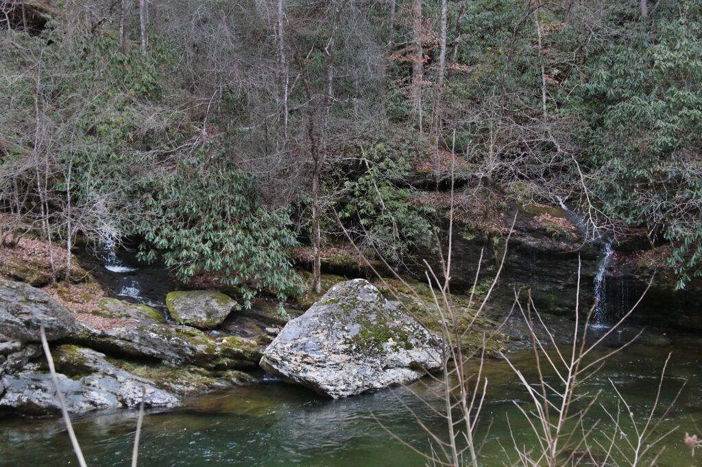
Whiteoak Flats Branch Falls
After driving through the Townsend entrance to the Great Smoky Mountains National Park, a short distance away you’ll come to a fork in the road. Head to your left and drive about 0.6 miles. Whiteoak Flats Branch Falls is located on your right side. It is clearly visible from your car as you drive past it. From your car you cannot see the entire waterfall. The waterfall is smaller at the top and gets larger as it gets closer to the road. It’s about 20 feet tall and is in sections going down toward the road.
There is no parking area beside the waterfall so you’ll need to pass the waterfall until you reach a place where you can safely turn around and park at a nearby pull off on the left side of the road.
Leave a Reply