How Many Waterfalls are in The Great Smoky Mountain National Park?
The Great Smoky Mountains National Park has over 2,900 miles of streams and over 100 waterfalls. But there are also thousands of unnamed cascades, roadside trickles, and seasonal falls that appear after rain. The National Park Service itself only publishes only a select few waterfalls, not an complete inventory. It bears mentioning that the less published a waterfall is, the less the trail is maintained and might require going off trail and even bushwacking to reach.
Below we include a list of waterfalls including popular waterfalls and lesser known waterfalls in the Great Smoky Mountains National park including distance, brief trail description and brief description of the waterfall itself.
Know Before You Go
Elevations
Elevations in the Great Smoky Mountains National Park range from approximately 875 feet at Abrams Creek to 6,643 feet at the summit of Kuwohi (formerly named Clingmans Dome). While a single average elevation isn’t typically used, a significant portion of the park consists of mountainous terrain, with the main crest staying above 5,000 feet.
So if you are used to hiking long distances over flat terrain at a lower altitude consider these factors when determining if a hike is right for you. A higher elevation means there is less air, and while this is fine for normal living, when you are exerting yourself, it will take longer to recover.
Cell Reception
Many of these waterfalls are in remote areas so there may not be cell reception. Download or print maps before going to these locations and make sure to include travel to and from your location. If hiking in a more remote area be sure to tell someone where you are going and when you expect to return or leave a note in your car.
Wet Weather Waterfalls
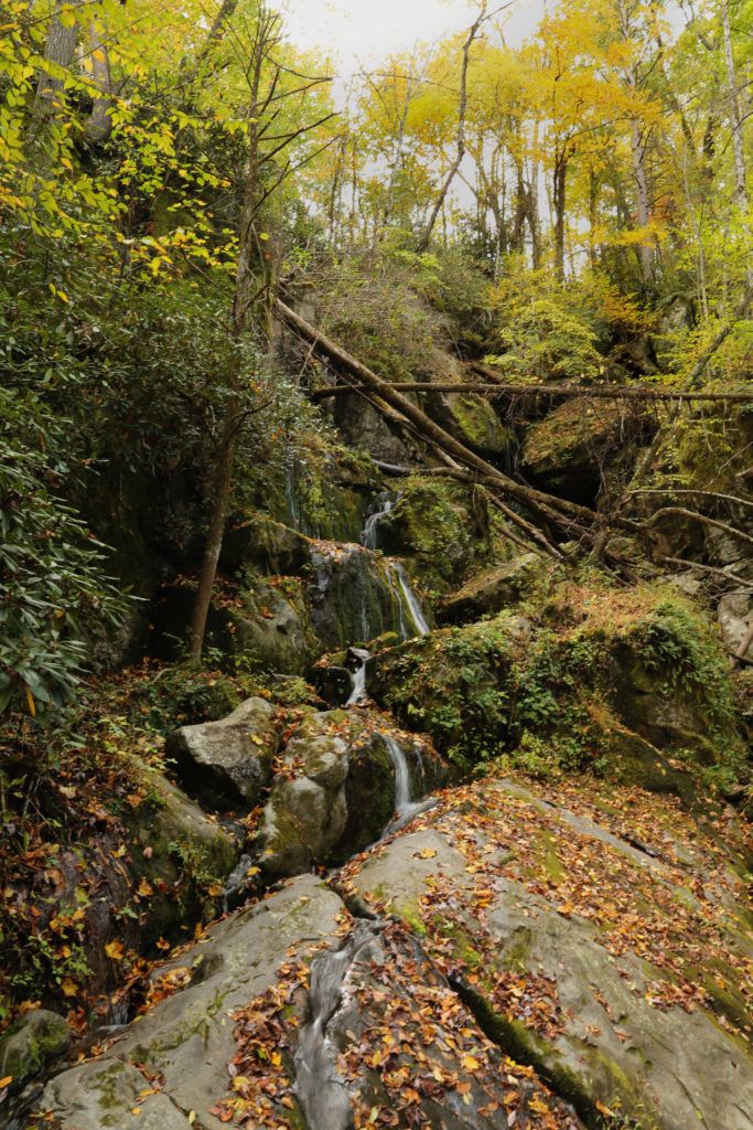
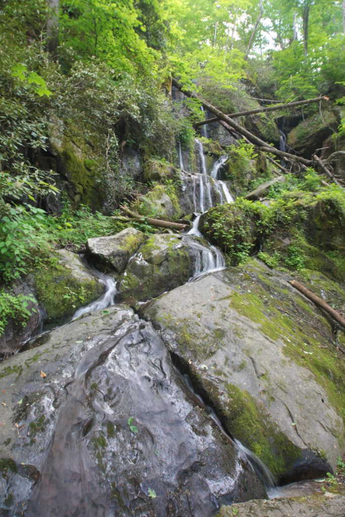
Unlike the year round waterfalls, wet weather waterfalls flow best during periods of rain or snow melt, making the best time to view them in the late winter/spring months. During dry seasons, these falls may be reduced to a trickle or even go completely dry, only to come alive during periods of heavy rainfall. One of the best examples of this is The Place of a Thousand Drips, located at the end of the Roaring Fork Motor Nature Trail.
Roadside Waterfalls
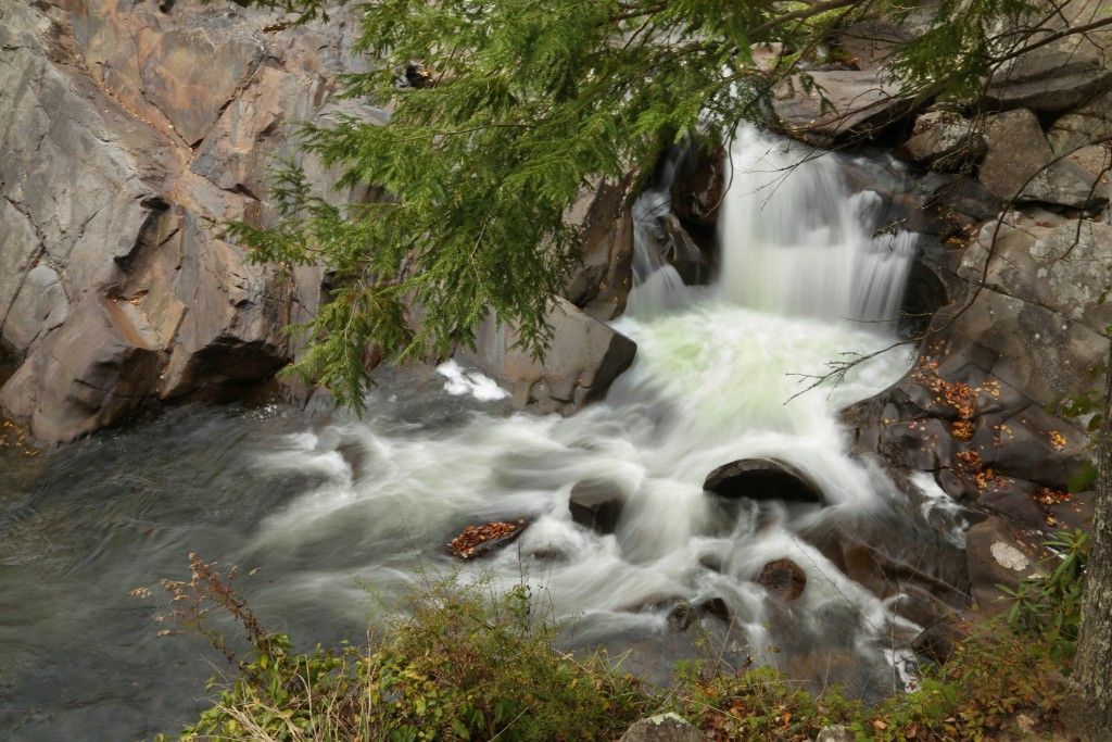
The Sinks
- Distance: ~0.2 mile
- Trail Feel: Loud, powerful water right off the road
- Waterfall Description: Wide cascade, currents, especially strong after rain
- Note: not a swimming hole, national park posts no swimming here
Place of a Thousand Drips
- Distance: roadside
- Trail Feel: Best viewed from car or quick pull-off after the waterfall
- Waterfall Description: Seasonal, wet weather waterfall, cascade style, best viewed after rain
- Note: Located on Roaring Fork Motor Nature Trail (a seasonal road)
Meigs Falls
- Distance: roadside
- Trail Feel: Quick stop along Little River Road
- Waterfall Description: 20–30 ft tiered cascade
- Note: This an overlook view of the waterfall.

Whiteoak Flats Falls
- Distance: roadside
- Trail Feel: Quick stop along Old State Highway 73
- Waterfall Description: ~20 ft cascade
Meadow Branch Cascades
- Distance: roadside, but you will have to park and walk back to get a good view
- Trail Feel: Quick stop along Laurel Creek Road
- Waterfall Description: Partially hidden cascade
Cane Creek Twin Falls
- Distance: roadside
- Trail Feel: Quick stop along Old State Highway 73
- Waterfall Description: Two small cascades, but a great swimming hole
- Note: Best viewed in Fall/Winter
Mannis Branch Falls
- Distance: roadside
- Trail Feel: Quick stop near Elkmont Rd
- Waterfall Description: 25-35 ft, located across the river
- Note: Best viewed in Fall/Winter
Noisy Falls
- Distance: roadside
- Trail Feel: Quick stop along U.S. 321
- Waterfall Description: 20–30 ft tiered cascade
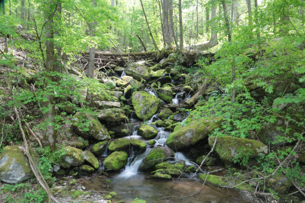
Laurel Creek Cascades
- Distance: Roadside
- Trail Feel: Quick stop with picturesque cascade
- Waterfall Description: Water drops 8′ down spilling over multiple paths for a length of 20′.
Easy to Moderate
Cataract Falls
- Distance: 0.7 miles RT
- Difficulty: Easy
- Trail Feel: Flat, family-friendly
- Waterfall Description: Narrow, 40 ft, wet weather waterfall
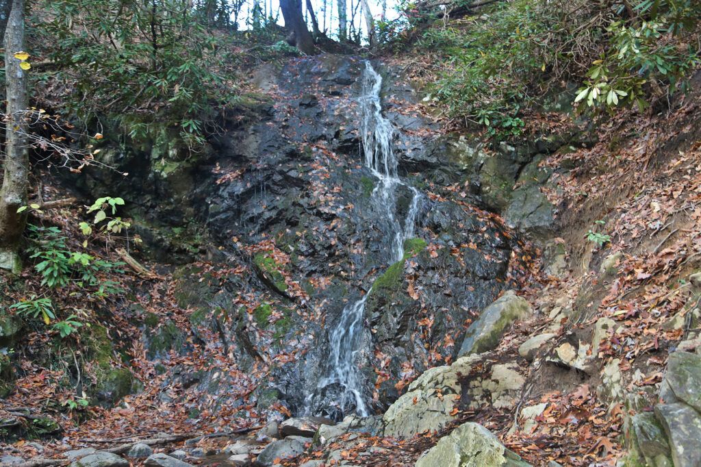
Laurel Falls
- Distance: 2.6 miles RT
- Difficulty: Easy
- Trail Feel: Paved, family-friendly
- Waterfall Description: 80 ft, two sections
- Note: Currently closed for renovations
Huskey Branch Falls
- Distance: 4.3 miles RT
- Difficulty: Easy
- Trail Feel: Kid friendly, Peaceful
- Waterfall Description: 20 ft, parallels the river the entire way
Abrams Falls
- Distance: 5.2 miles RT
- Difficulty: Moderate
- Trail Feel: Hemlock and rhododendron lined trail
- Waterfall Description: 25 ft waterfall, strong currents
- Note: Located in Cades Cove, trail has 675 ft of elevation gain
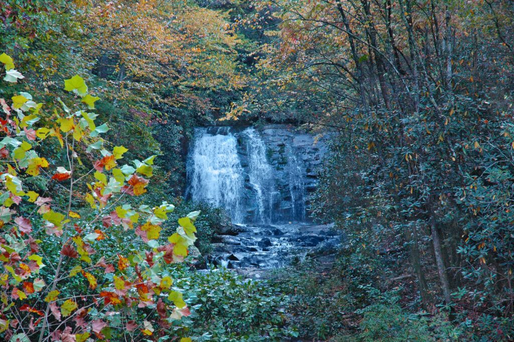
Rainbow Falls
- Distance: 5.6 miles RT
- Difficulty: Moderate
- Trail Feel: Steep, rocky, and often muddy terrain, passing small cascades
- Waterfall Description: 80 ft, creates colorful rainbows on sunny days
- Note: Trail has 1500 ft of elevation gain
Grotto Falls
- Distance: 2.6 miles RT
- Difficulty: Moderate
- Trail Feel: Family-friendly, follows a stream
- Waterfall Description: 25 ft, can walk behind the waterfall
- Note: Located on Roaring Fork Motor Nature Trail (a seasonal road)
Lynn Camp Prong Cascades
- Distance: 1.4 miles RT
- Difficulty: Easy
- Trail Feel: Wide, gravel path next to a stream
- Waterfall Description: Series of cascades, with two main sections – upper (approx. 35 ft) and lower (approx. 55 ft)
Crooked Arm Cascades
- Distance: 1.4 miles RT
- Difficulty: Easy
- Trail Feel: Little cascades along the way, creek crossing
- Waterfall Description: 25-30 ft, cascading, wet weather waterfall
- Note: Shortest route is Rich Mountain Trail to Crooked Arm Cascades.
Chasteen Creek Cascade
- Distance: 3.6 miles RT
- Difficulty: Easy/Moderate
- Trail Feel: Wooded trail, also frequented by horseback riders
- Waterfall Description: Cascade that slides 15 feet down smoothly worn standstone
- Note: Located in Smokemont Campground
Rhododendron Trail Falls
- Distance: 1.6 miles RT
- Difficulty: Moderate
- Trail Feel: Walks alongside small cascades until you cross the creek, trail not well maintained
- Waterfall Description: series of waterfalls, each larger than the previous
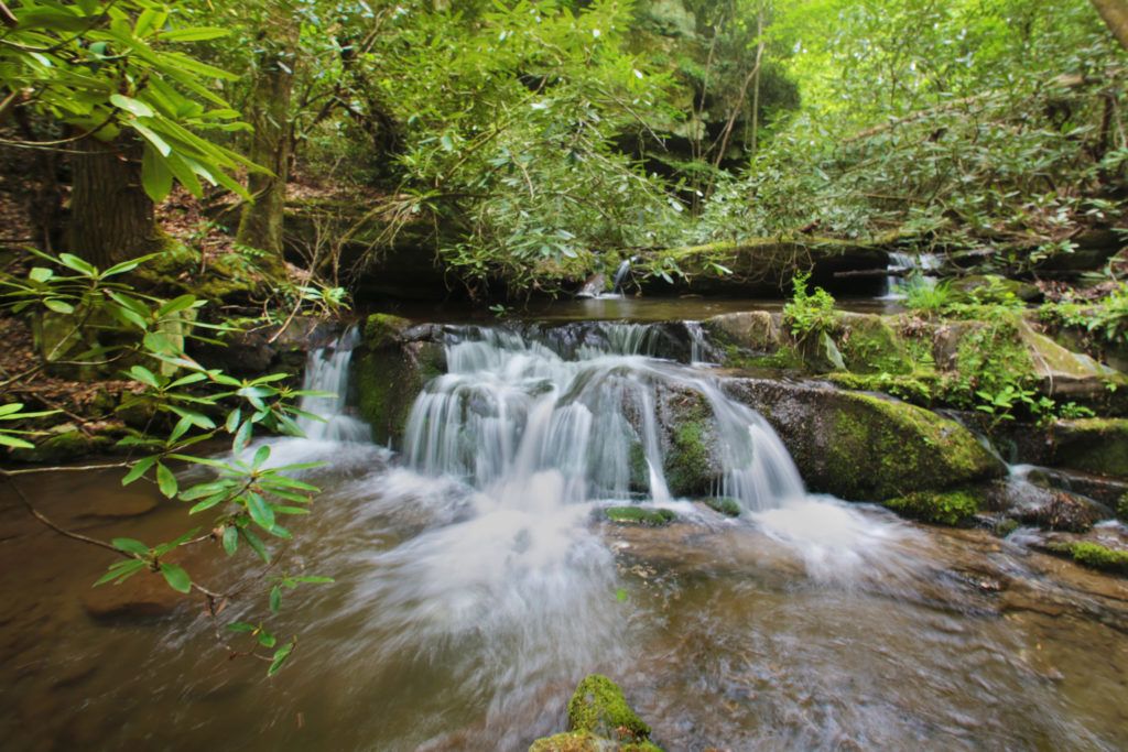
Midnight Hole
- Distance: 2.8 miles RT
- Difficulty: Easy
- Trail Feel: Old Jeep trail, wide, shady, and easy
- Waterfall Description: Falls are at the far end of the pool. There are two small waterfalls, only 8′ high each, situated between large boulders.
- Note: Good swimming hole
Meigs Creek Cascade
- Distance: 3.8 miles RT
- Difficulty: Moderate (creek crossings)
- Trail Feel: Feels like an adventure with some marshy, swampy areas, rodo tunnels and rock-hopping
- Waterfall Description: 18-20 ft, starts narrow at the top and fans out toward the bottom
Baskins Creek Falls
- Distance: ~3 miles RT
- Difficulty: Moderate (steady uphill return)
- Trail Feel: Quiet, forested, old-growth vibe with minimal crowds
- Waterfall Description: Two-tiered, ~40 ft, very photogenic after rain
Spruce Flats Falls
- Distance: ~2 miles RT
- Difficulty: Moderate (some route-finding)
- Trail Feel: Starts wide, then turns into a narrow, less-maintained path
- Waterfall Description: Multi-tier cascade with a backcountry feel, 30-40 ft
Hen Wallow Falls
- Distance: ~4.4 miles RT
- Difficulty: Moderate
- Trail Feel: Gradual climb through lush forest, often damp and mossy
- Waterfall Description: 90 ft but thin, best after rain
Mouse Creek Falls
- Distance: ~4 miles roundtrip
- Difficulty: Easy to moderate
- Trail Feel: Wide, gentle grade following a creek (great for beginners)
- Waterfall Description: 41 ft, broad and steady flow
Fern Branch Falls
- Distance: 4 miles RT
- Difficulty: Moderate (long but gradual)
- Trail Feel: Historic trail (old cabins, cemetery), then turns quieter
- Waterfall Description: 40 ft, hidden and peaceful
- Note: Accessed on Porters Creek Trail
Indian Flats Falls
- Distance: 8.2 miles RT
- Difficulty: Moderate
- Trail Feel: Gentle trail, follows a river with cascades the entire way
- Waterfall Description: Triple cascade surrounded by rhododendrons
- Note: You will pass Lynn Camp Prong Cascades on the way
Deep Creek Waterfall Loop
- Includes: Juney Whank Falls, Indian Creek Falls, and Tom Branch Falls
- Distance: 2.4 miles RT
- Trail Feel: Short but steep loop
- Waterfall Description:
- Juney Whank Falls: 90-foot waterfall divided into upper and lower sections
- Tom Branch Falls: 60-80 foot, wide cascade visible from the main trail
- Indian Creek Falls: 25-foot falls tucked into a lush cove
Fort Harry Falls
- Distance: 0.2 miles
- Difficulty: Moderate
- Trail Feel: Starts out easy, then quickly becomes rocky and rough
- Waterfall Description: Small thin waterfall between the rocks, wet weather waterfall
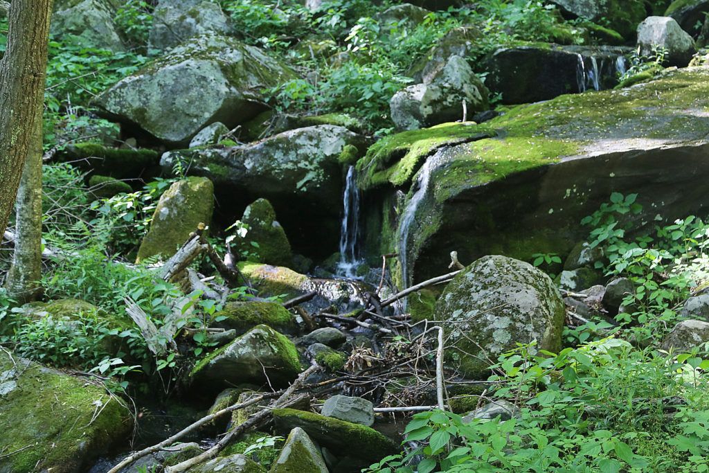
Rainbow Cave Falls
- Distance: 4.6 miles RT
- Difficulty: Moderate
- Trail Feel: Fairly worn and wide surrounded by flowers
- Waterfall Description: 40-foot, often seasonal, waterfall that flows directly into a cave.
- Note: Unofficial trail starting at the Schoolhouse Gap Trailhead near Townsend
Trickling Falls and Talking Falls (Road Prong Falls)
- Distance: 3.4 miles RT
- Difficulty: Moderate
- Trail Feel: Not well maintained, narrow, rough in spots, and secluded
- Waterfall Description: Trickling Falls, 50-foot waterfall that creates several smaller cascades
- Note: Begin at the Chimney Tops Trailhead, then turn onto Road Prong Trail
Strenuous
Ramsey Cascades
- Distance: 8 miles RT
- Difficulty: Strenuous
- Trail Feel: Rocky, root-filled, increasingly steep
- Waterfall Description: ~100 ft (tallest in park), dramatic boulder field
- Note: Ascends more than 2,000 feet in elevation and crosses multiple footlog bridges and streams along the way.
Little Creek Falls/Deeplow Gap Branch Falls
- Distance: ~6 miles RT
- Difficulty: Strenuous
- Trail Feel: Significant elevation changes, rocky, rough trail
- Waterfall Description: 50+ feet, large and fairly wide
- Notes: Prone to washouts
Enloe Creek Falls
- Distance: 7 miles RT
- Difficulty: Strenuous / remote
- Trail Feel: Recommended for experienced hikers due to steep, narrow terrain and a challenging bushwhack.
- Waterfall Description: Large, powerful, rarely seen
- Notes: Hyatt Ridge + Enloe Creek Trail. Trail is currently closed.
Nearby Waterfalls in Cherokee
While really close, these waterfalls are not a part of the Great Smoky Mountains Park but totally worth including.
Soco Falls
- Distance: 0.6 miles
- Difficulty: Easy/Moderate
- Trail Feel: The trail to the observation deck is pretty easy, but the trail to the base is moderate.
- Waterfall Description: 120 foot, double waterfall
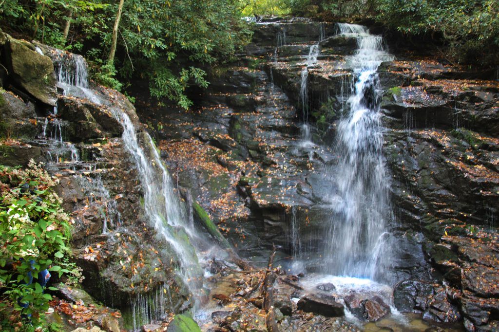
Mingo Falls
- Distance: 0.4 miles RT
- Difficulty: Moderate
- Trail Feel: It’s a workout! You climb 160 steps with an elevation gain of 114 ft.
- Waterfall Description: Horsetail shape, best viewed after rain, but still looks good year round
Know Your Limits – A Message From The Great Smoky Mountains National Park
April 3, 2026: Park rangers in the Great Smoky Mountains National Park are reporting a big increase in emergency calls, especially in March. They responded to 38 incidents in just one month, including multiple search and rescues, medical emergencies, and even helicopter evacuations.
Because of this, they’re reminding visitors of something important… rescue is NOT guaranteed.
The mountains are beautiful, but they can also be unpredictable. Trails can change quickly, weather can shift fast, and even experienced hikers can find themselves in dangerous situations.
Here’s what they’re asking everyone to do:
• Know your limits
• Check the weather before you go
• Bring the right gear (water, layers, flashlight, etc.)
• Tell someone your plans
• Be willing to turn around if things feel off
A lot of these emergencies can be prevented with just a little preparation. As we head into busy season, this is your reminder that the Smokies aren’t just a scenic backdrop… they’re real mountains with real risks.
Leave a Reply