While Knoxville itself doesn’t have any waterfalls, there are some that you can reach within an hour’s drive or you can do a day trip and see some really amazing waterfalls.
Within an Hour
Little Egypt Falls/Triple Falls – (also known as Bruce Creek Falls – because it is on Bruce Creek) is actually part of a longer trail starting at Cove Lake State Park, but there’s a parking area on Shelton Hollow Lane, which is the easiest way to reach the waterfall. Within 0.2 miles of starting the trail, you will reach the first waterfall on the trail. You’ll pass several really pretty cascades on the way to Little Egypt Falls. In less than half a mile you will reach Little Egypt Falls.
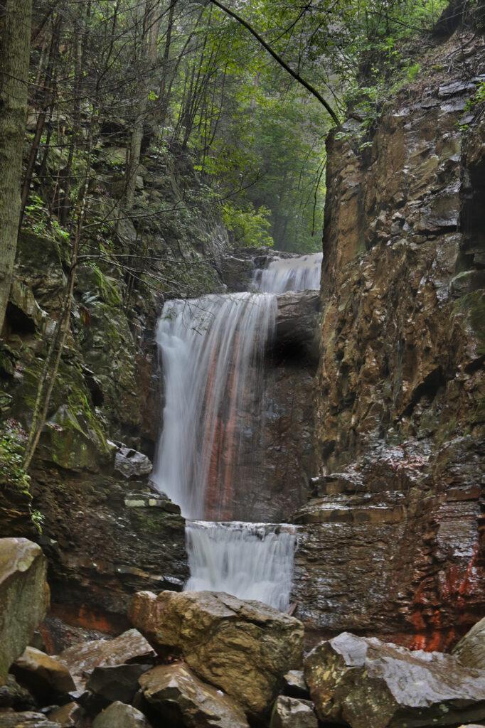
Buffalo Springs Falls – located inside the Buffalo Springs Wildlife Management Area inside Grainger County in Rutledge, TN. It is a peaceful 10 foot waterfall with a clear creek that is great for wading in, however it is very cold!
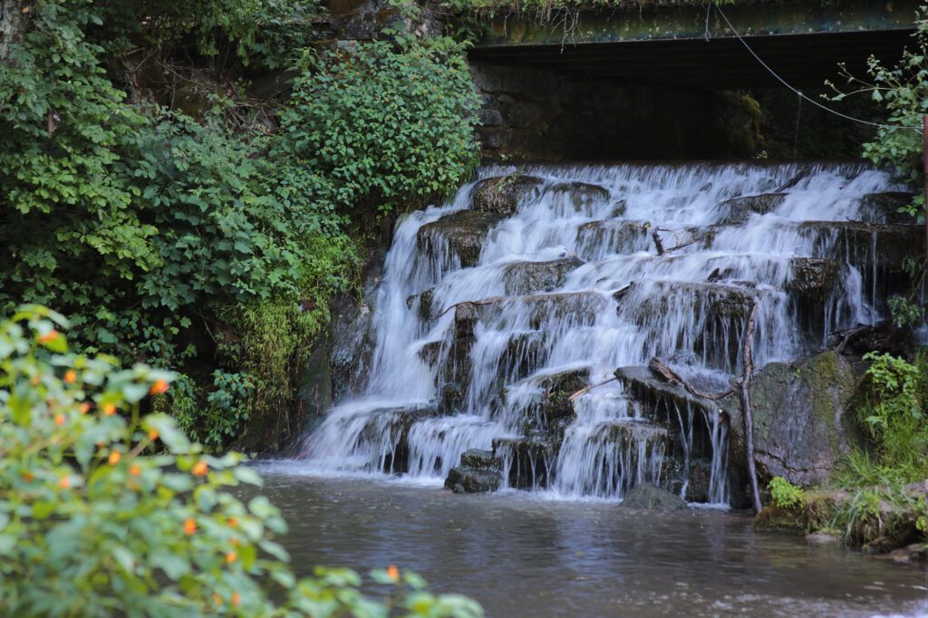
Potter’s Falls/Lower Potter’s Falls – Potter’s Falls is 18-feet tall and spans the width of Crooked Fork Creek. Go about 100 feet from the parking lot and you will see a side trail that will take you to a view of Potter’s Falls. You can climb down some rocks to get to the base of the waterfall. There is a large pool of water at the base of that falls, which locals use for swimming.
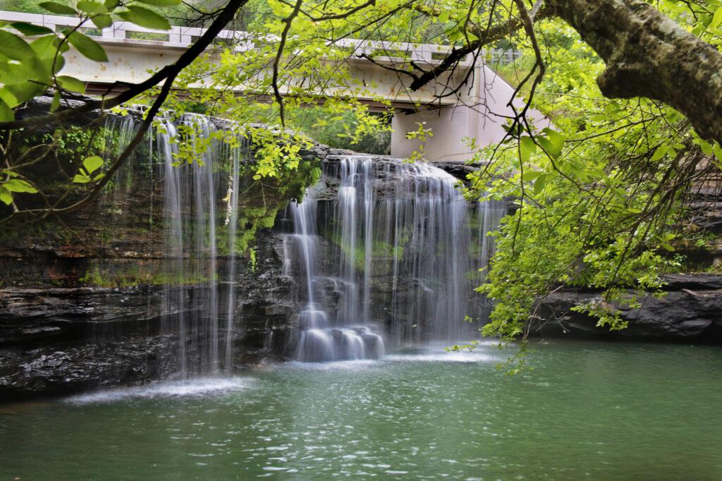
Continue down the trail from Potter’s Falls. In just a few minutes, you’ll see another side trail that will take you to Lower Potter’s Falls. Both trails are about 0.2 miles combined. Lower Potter’s Falls is comprised of two sections, the first is 12 feet and the second is 6 feet for a combined height of 18 feet. The pilot for the television show “Young Daniel Boone” was filmed here.
Within an Hour and a Half
Ozone Falls – located in Cumberland County, Tennessee inside the Ozone Falls State Natural Area. Ozone Falls is a pretty 110 foot waterfall that was one of the locations used for the 2016 live action movie “The Jungle Book.” The hike to the base is around 0.25 miles one way. The hike to the overlook with a side view of Ozone Falls is fairly easy. The trail is a little rocky, but manageable. If you keep following the trail it will take you to the base, however the trail becomes a little more difficult as you continue on from the overlook.
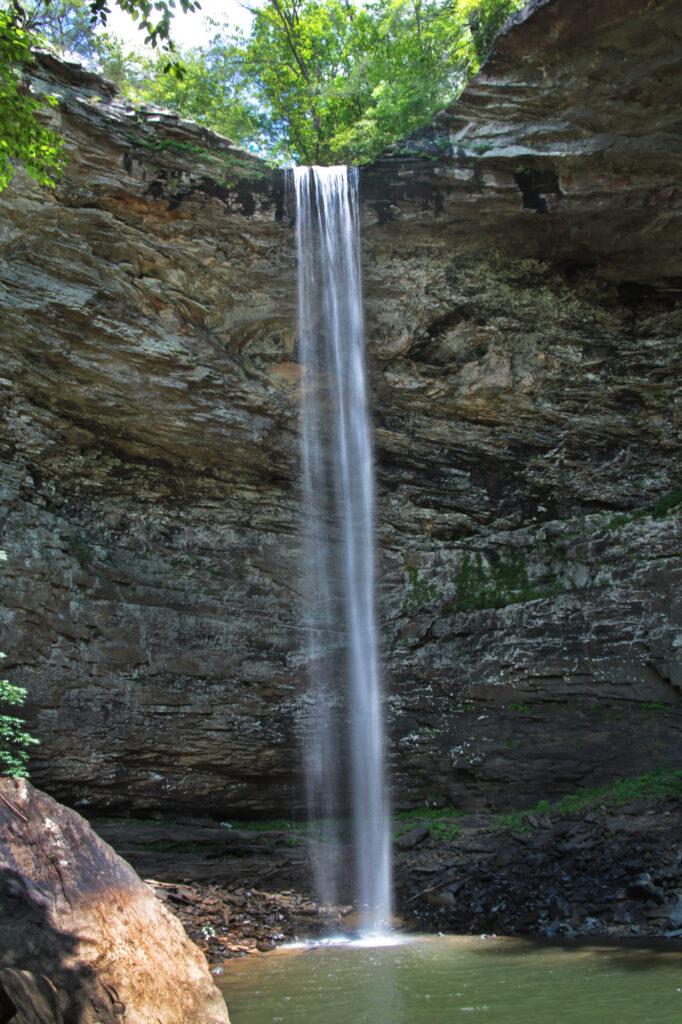
Debord Falls/Emory Gap Falls – best viewed after a good rain or during early spring. The trail is wide, but has some rocky and rooty parts. There is a creek near the beginning of the trail. If the water is low here, it will be low at Debord Falls. If Debord Falls is low, then Emory Gap Falls will be even lower.
At 0.6 miles, you will reach the short side trail leading to Debord Falls. Go to the right to view the falls from the observation deck. After passing the observation deck, you will see a wooden staircase on your right that descends to the base of the falls. Continue down the trail to reach Emory Gap Falls.
Note: Debord Falls and Emory Gap Falls in Frozen Head State Park are currently closed due to extensive, park-wide construction that began in October 2025.
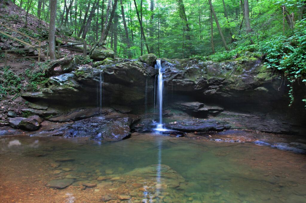
Elrod Falls – a beautiful three stage waterfall located about 10 minutes from the town of Sneedville in Hancock County. The trail to Elrod Falls is a five minute walk to the base of the waterfall. Just in front of the waterfall is a swimming hole frequented by the locals.
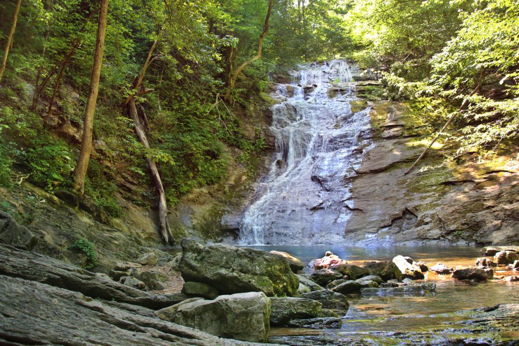
Laurel Falls – an extremely popular destination within Great Smoky Mountains National Park due to the fact that it has a paved trail leading up to it. The hike to Laurel Falls and back is 2.6 miles round trip. Hikers will climb roughly 314 feet in elevation before arriving at the 80-foot waterfall. I would rate this trail easy for average hikers and moderate for those who are new to hiking or hike infrequently. Note: Laurel Falls Trail is closed as of Jan. 6, 2025 for 18 months of rehabilitation work.
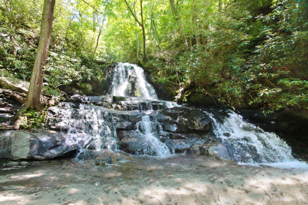
Grotto Falls – an amazing 25 foot waterfall located on the Roaring Fork Motor Nature Trail. The trail is scenic and tranquil. Grotto Falls is the only waterfall in the Great Smoky Mountains National Park that you can walk behind. The trail is 2.6 miles round trip and is moderate difficulty.

Cataract Falls – an easy, family friendly trail that is perfect for a beginning hiker taking about 15 minutes to hike to the base of the waterfall. The out and back trail is located behind the Sugarlands Visitor Center.
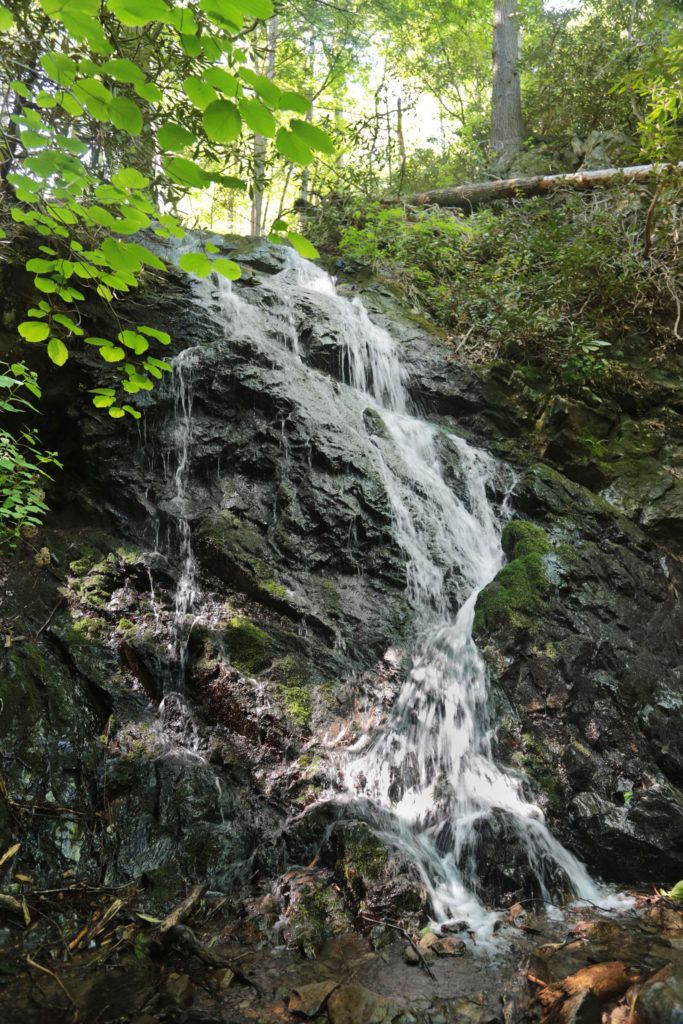
The Sinks – a pretty waterfall that is very easy to access. It is a small waterfall that includes the entire flow of Little River. You can walk right up to a close-up overlook to the waterfall right from the parking lot. Swimming near The Sinks can be dangerous and is not recommended by the Park.
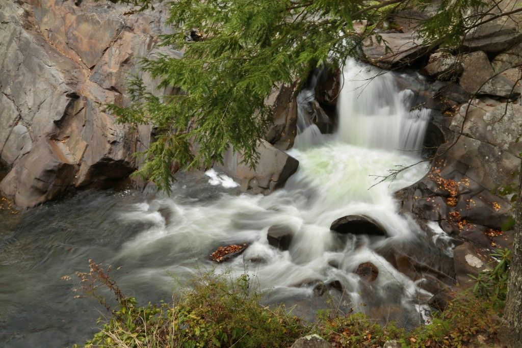
Margarette Falls – sometimes called Marguerite Falls, is a beautiful fan-shaped, 60-foot waterfall, located in Cherokee National Forest in Greene County, TN. It is one is of the most popular waterfall trails in the area. This moderate trail has a steep elevation gain of 668 feet and rocky parts on the trail over sharp and uneven rocks. Margarette Falls is impressive and has a nice watering hole in front. The trail will take you right up to the base of the waterfall.
Less Than Two Hours
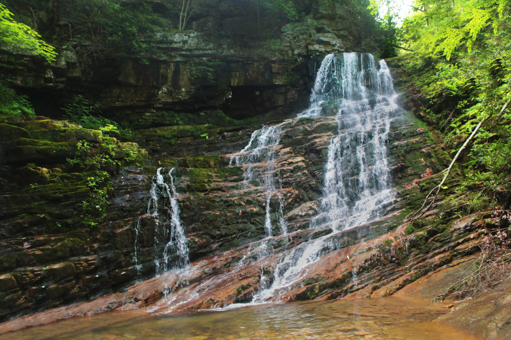
Abrams Falls – the crown jewel of Cades Cove is Abrams Falls, a 20 foot waterfall. The trail to this moderately difficult 5.2 mile roundtrip hike is located just off the Cades Cove loop and includes 675 feet of elevation gain.
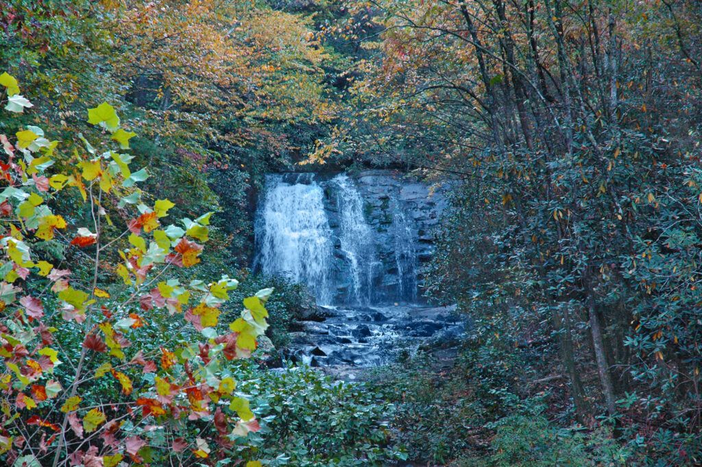
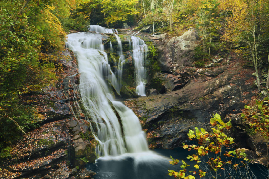
Bald River Falls – a beautiful 90 foot roadside waterfall located in the Unicoi Range of mountains near the Tennessee/North Carolina state line. The falls are easily visible from a bridge across the river. There is also a short, easy trail at the end of the parking lot that will take you to the top of Bald River Falls.
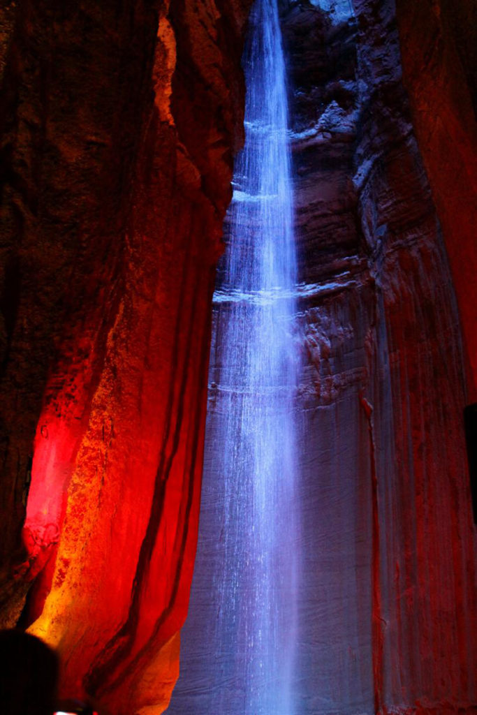
Ruby Falls – discovered over 1,120 feet below the surface of Lookout Mountain in Chattanooga, TN in 1928. You enter the cavern and are guided through incredible rock formations with some lit in different colors. The path ends at Ruby Falls itself – a 145 foot underground waterfall. Ruby Falls is lit by full color LED lights that change colors making this impressive waterfall truly spectacular and one of a kind! Tickets must be purchased in advance online. You can purchase tickets here: https://www.rubyfalls.com/ticketing/
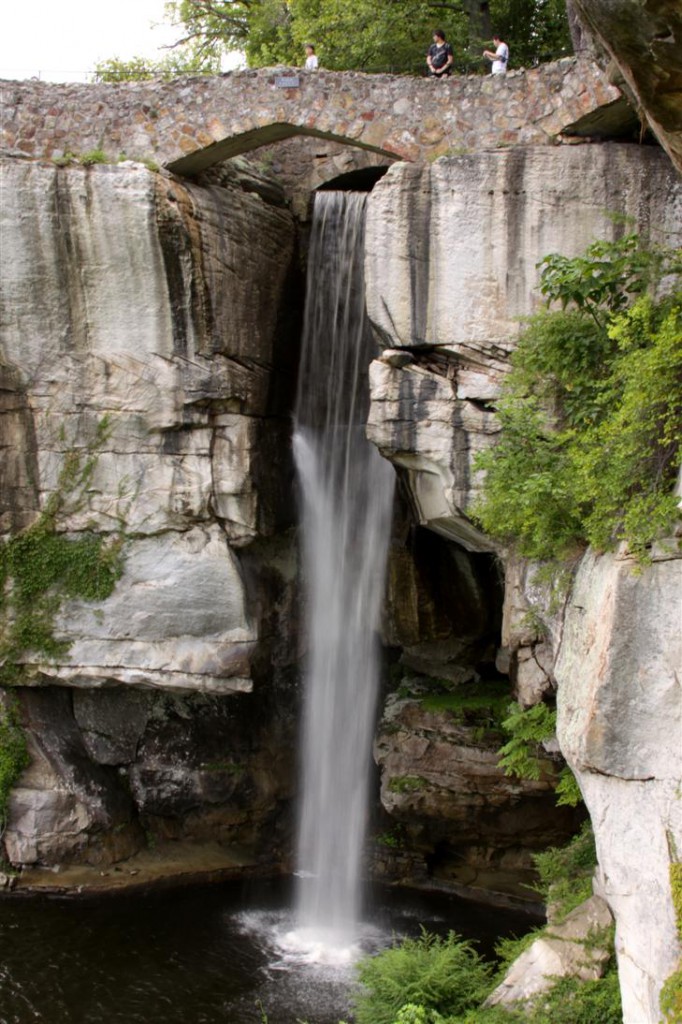
Lover’s Leap/High Falls – located inside Rock City, however you can view the falls without going to Rock City. This being said, I still highly recommend going to Rock City as there is so much to do there including nature trails, and caves with stories told in miniature models. High Falls is 140 feet in height. The trail to the waterfall is easy to get to and is stroller and wheelchair accessible, making this waterfall enjoyable by all. Tickets can be purchased in advance online or in person. It is cheaper online. You can purchase tickets here: https://tickets.seerockcity.com/products .
Glen Falls – Glen Falls, located on Lookout Mountain less than 15 minutes from downtown Chattanooga, TN. While this is a short trail, only half a mile from the parking lot to the falls, it does have an elevation gain of 305 feet and part of the trail is narrow with rocky steps, a narrow natural tunnel to reach the upper portion and it is steep going down.
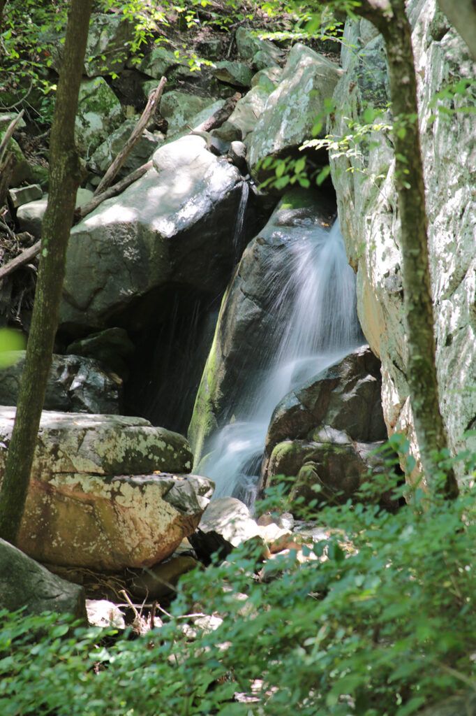
Sill Branch Falls – located in the Clark’s Creek area of the Cherokee National Forest in Erwin, Tennessee. The parking area is opposite of the trailhead. This beautiful 20 foot waterfall starts out with a fairly easy out and back hike with just a tiny incline over slightly rocky terrain with a few roots along the way. You’ll cross a small stream followed by a steep incline on the other side of the stream. Soon after you’ll arrive at the waterfall.
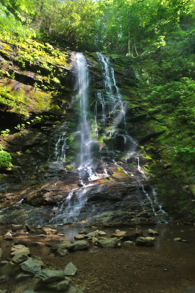
Pine Ridge Falls – a 25 foot waterfall, is also located in the Clark’s Creek area of the Cherokee National Forest. The parking area is 0.2 miles away from the parking area for Sill Branch Falls. The trail to Pine Ridge Falls is an easy one mile round trip and is well maintained. There is one creek crossing that can be tricky when the water’s high.
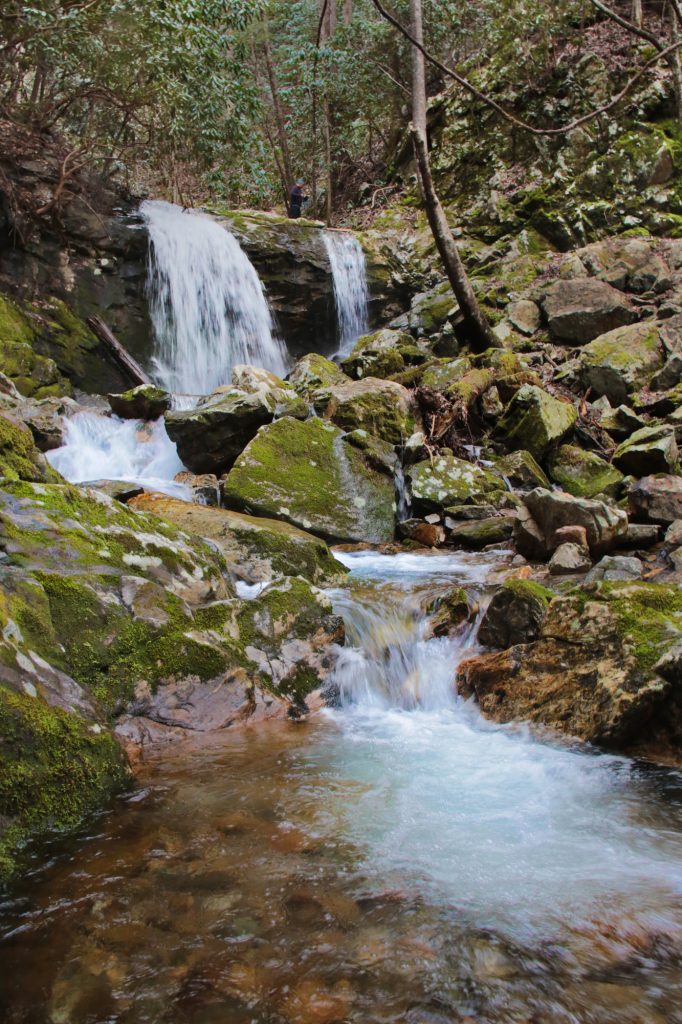
Lower Higgins Creek Falls – a beautiful waterfall located in the Cherokee National Forest, but it can be challenging to get to. Although in my opinion it is totally worth the effort. The total height for Lower Higgins Creek Falls is 100 feet and the main section, which is what most people visit is 50-60 feet. While the trail is fairly short, it is very steep. The trail follows alongside the creek with several creek crossings. The trail gets steeper and rockier until you reach the waterfall at around 0.6-0.8 miles.
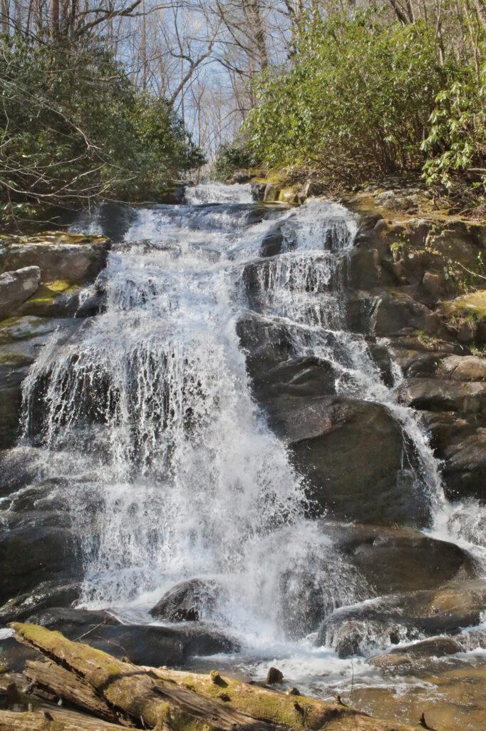
Laurel Run Falls – three waterfalls can be accessed off the Laurel Run Falls trail. Laurel Run Falls has a 1.8 mile hike round trip. The movie The River was filmed in Laurel Run Park. The trail has bridges and a large creek crossing.
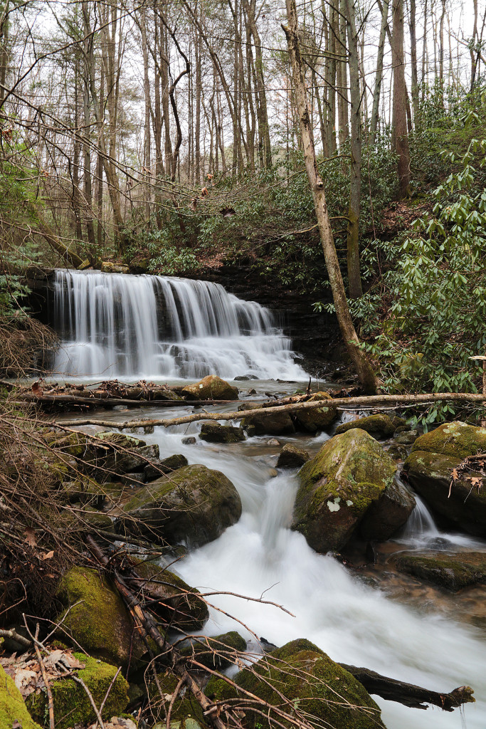
Burgess Falls – Burgess Falls State Park is home to its namesake, Burgess Falls, but also three other waterfalls on the same trail ending at the Burgess Falls overlook. If you just want to view Burgess Falls you can take the ADA overlook paved trail, which ends at the Upper/Little Falls overlook. Continue down the gravel road until it ends. You’ll see a staircase heading down. This will take you to the Burgess Falls overlook.
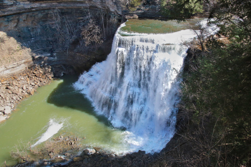
Cummins Falls – Located 8 miles away from Cookeville, Cummins Falls is the eighth largest waterfall in volume in Tennessee. This 75 foot waterfall, on the Blackburn Fork State Scenic River on the Eastern Highland Rim, is one of the most accessible waterfalls in Tennessee. ADA access to the overlook is available upon request with a paved walkway that takes you to the overlook. Cummins Falls can be viewed from an overlook or you can hike down into the gorge. Cummins Falls has two sections. The first has a plunge drop of 50 feet, that ends in a shallow pool. The second part cascades another 25 feet into a large, deep swimming hole. The hike down to the base is moderate/strenuous and requires a permit that you can purchase online or get at the Park if any are still available.
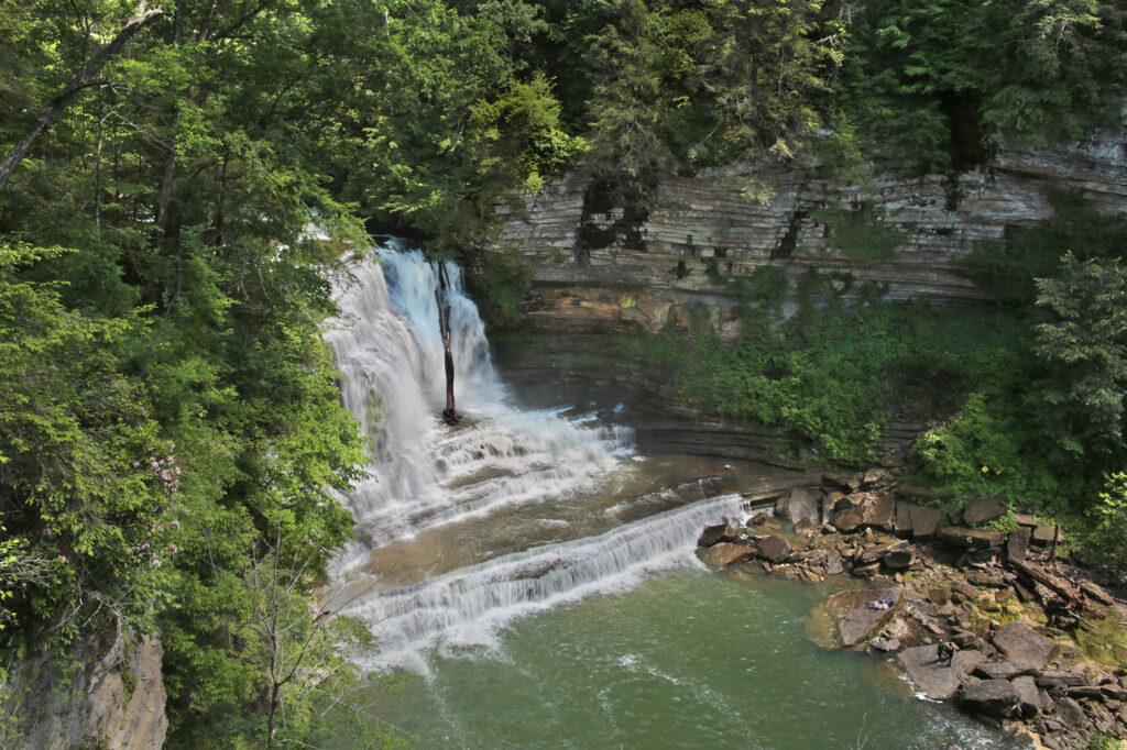
City Lake Falls – located inside the City Lake Natural Area in Cookeville. This park and the trail to the waterfall is family friendly. This easy 0.6 mile round trip hike is located next to a beautiful lake. You’ll see the trail that leads you to the waterfall in the back of the parking area. The trail starts out paved, as you pass a building on your right the trail turns to gravel. Stay on the trail until it dead ends into a deck right next to City Lake Falls.
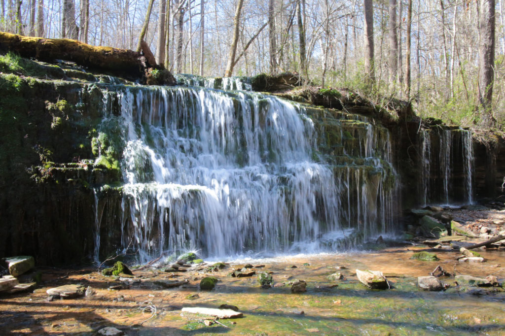
Hardy-Reagan Falls – is between 5-6 feet in height, but is very wide. It has a small “beach” area in front of the waterfall, slightly off to the side. The rocky cliff behind the waterfall is tall and interesting to look at. The cliff adds dimension to the waterfall and sets Hardy-Reagan Falls apart from the many other waterfalls with this shape. The trail is short, probably less than a half mile round trip and easy to navigate. The waterfall is family friendly as it would be easy, even for your little ones to get to it.
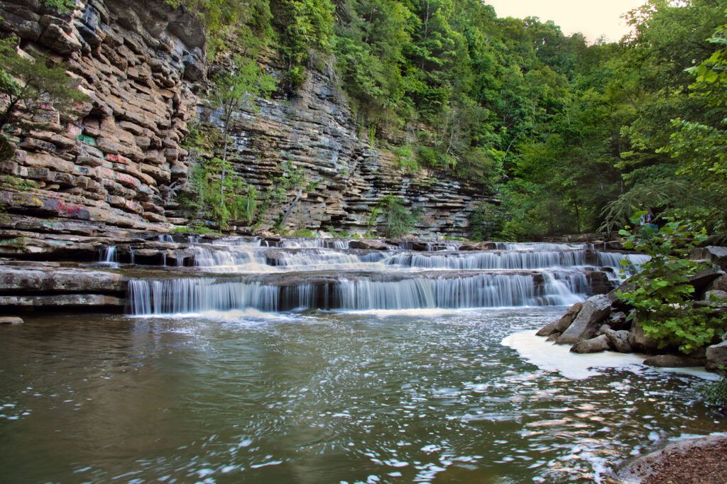
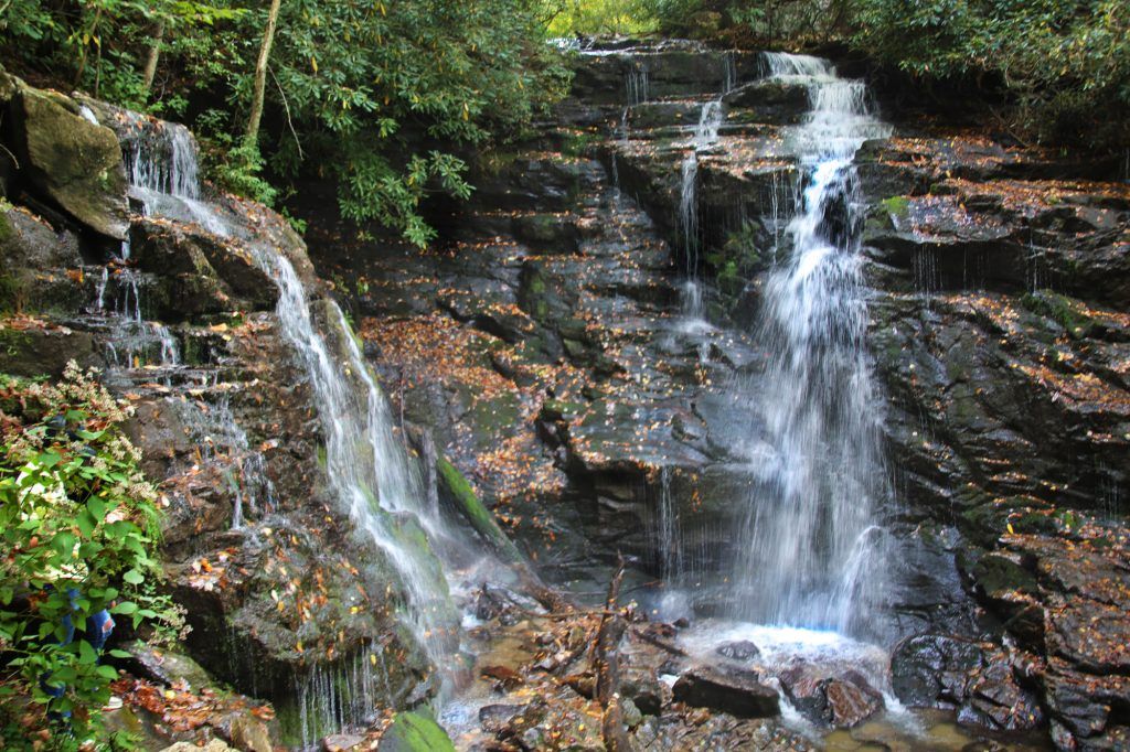
Soco Falls – a 120 foot, double waterfall located between Maggie Valley and Cherokee, NC, just on the edge of the Cherokee Indian Reservation. You can view Soco Falls from several different locations. The first is the observation deck, a short distance from the parking lot. For a closer view, continue down a moderately difficult, steep trail from the deck to the base of the waterfalls. This section is steep and downhill. A system of ropes has been set up to help you climb to the base of Soco Falls and return to your car afterward.
Leave a Reply